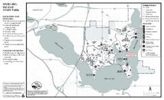
Myre-Big Island State Park Summer Map
Summer seasonal map of park with detail of trails and recreation zones
0 miles away
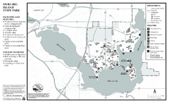
Myre-Big Island State Park Winter Map
Winter seasonal map of park with detail of trails and recreation zones
less than 1 mile away
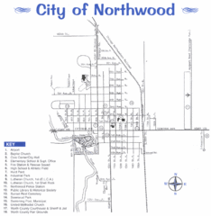
Northwood City Map
City map of Northwood, Iowa with key of churches, parks, and other points of interest.
13 miles away

Pilot Knob State Park Map
Map of trails and park facilities in Pilot Knob State Park.
29 miles away

Owatonna Map
Visitor Map of Owatonna, Minnesota. Includes all streets, highways, restaurants, hotels, parks and...
32 miles away
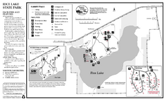
Rice Lake State Park Map
map of park with detail of trails and recreation zones
34 miles away
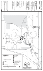
Lake Louise State Park Map
Map of park with detail of trails and recreation zones
40 miles away

Sakatah Lake State Park Map
map of park with detail of trails and recreation zones
42 miles away
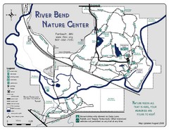
River Bend Nature Center Map
45 miles away
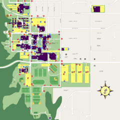
Minnesota State University Mankato Campus Map
Campus map of Minnesota State University Mankato
50 miles away
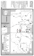
Nerstrand-Big Woods State Park Map
map of park with detail of trails and recreation zones
50 miles away

Mount Kato Ski Area Ski Trail Map
Trail map from Mount Kato Ski Area.
50 miles away
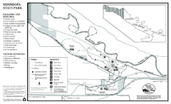
Minneopa State Park Map
Map of park with detail of trails and recreation zones
54 miles away
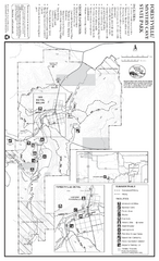
Forestville/Mystery Cave State Park Map
Map of park with detail of trails and recreation zones
55 miles away
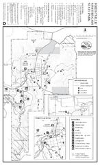
Forestville/Mystery Cave State Park Winter Map
Winter map of park with detail of trails and recreation zones
55 miles away
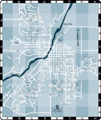
Northfield Street Map
Street map of Northfield, Minnesota
57 miles away
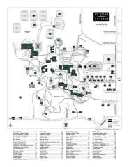
St. Olaf College Map
Campus map of St. Olaf College with index
58 miles away

St. Olaf College Map
Campus map of St. Olaf College
58 miles away
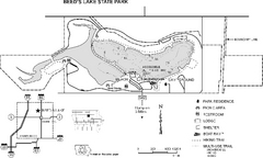
Beeds Lake State Park Map
Map showing lake depths, trails and facilities of Beeds Lake State Park.
60 miles away
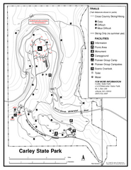
Carley State Park Map
Map of park with detail of trails and recreation zones
65 miles away
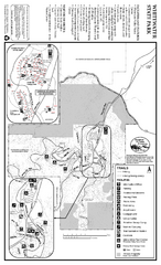
Whitewater State Park Map
map of park with detail of trails and recreation zones
69 miles away
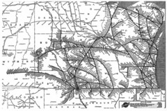
Chicago & North Western Line Railroad System...
C&NW map circa 1909
70 miles away

Welch Village Ski Area Ski Trail Map
Trail map from Welch Village Ski Area, which provides downhill, night, and terrain park skiing. It...
70 miles away
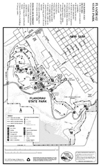
Flandrau State Park Map
Map of park with detail of trails and recreation zones
73 miles away
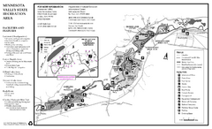
Minnesota Valley State Recreation Area Map
Map of recreation area with detail of trails and recreation zones
74 miles away

Buck Hill Ski Area Ski Trail Map
Trail map from Buck Hill Ski Area, which provides downhill, night, and terrain park skiing. It has...
75 miles away
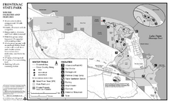
Frontenac State Park Winter Map
Map of park with detail of trails and recreation zones
78 miles away
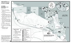
Frontenac State Park Summer Map
Map of park with detail of trails and recreation zones
78 miles away

Mount Frontenac Ski Trail Map
Trail map from Mount Frontenac.
78 miles away

Waverly Rail Trail Map
79 miles away

Fort Defiance State Park Map
Map of hiking, equestrian and cross country skiing trails and park facilities of Fort Defiance...
80 miles away
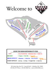
Coffee Mill Ski Trail Map
Trail map from Coffee Mill.
80 miles away
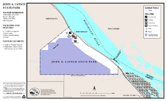
John A. Latsch State Park Map
Map of park with detail of trails and recreation zones
82 miles away
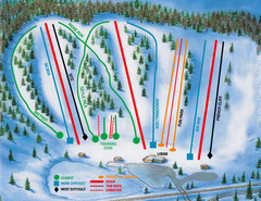
Hyland Ski and Snowboard Area Ski Trail Map
Trail map from Hyland Ski and Snowboard Area, which provides downhill, night, and terrain park...
84 miles away
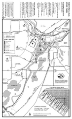
Fort Snelling State Park Summer Map
Summer map of park with detail of trails and recreation zones
85 miles away
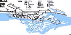
Merrick State Park Map
Beautiful hikes around the waterfront.
85 miles away
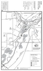
Fort Snelling State Park Winter Map
Winter map of park with detail of trails and recreation zones
85 miles away
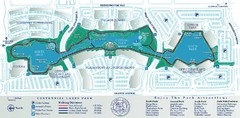
Centennial Lakes Park Map
85 miles away
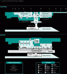
Minneapolis-St. Paul International Airport...
Official Map of Minneapolis-St. Paul International Airport. Shows Humphrey Terminal.
86 miles away
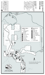
Beaver Creek Valley State Park Map
Map of park with detail of trails and recreation zones
86 miles away

