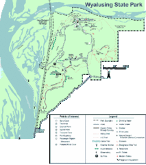
Wyalusing State Park Map
Detailed Park Map.
341 miles away
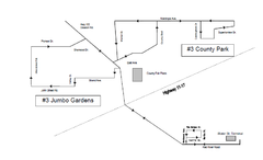
Thunder Bay Transit Map
This is the original map of Thunder Bay Bus Route 3. See my proposal for an improved design.
341 miles away

Map of Armenia and Nagorny Karabakh
Map of Armenian states - the Republic of Armenia and the Nagorno-Karabakh Republic
341 miles away
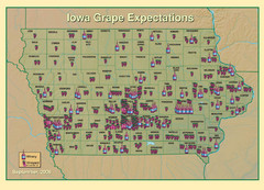
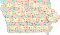
Iowa Grape Expectations Map
Shows concentration of vineyards and wineries across state of Iowa.
341 miles away
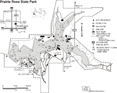
Prairie Rose State Park Map
Map of trails, lake depths, fishing spots and park facilities in Prairie Rose State Park.
343 miles away
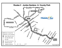
Thunder Bay Transit Map
I made this map after desperately trying to find out how to arrive at my daughters violin class...
343 miles away
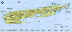
Isle Royale National Park Map
345 miles away
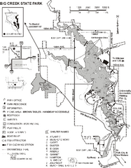
Big Creek State Park Map
Map of trails, lake depths and facilities in Big Creek State Park.
345 miles away
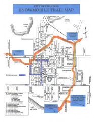
Crandon Snowmobile Trail Map
Snowmobile trail map of Crandon, Wisconsin on Lake Menlonga.
345 miles away
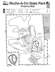
Roche A Cri State Park Map
Marked hiking trails for this State Park easily read on this map.
345 miles away

Backbone State Park Map
Map of trails and facilities in Backbone State Park.
345 miles away
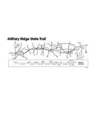
Military Ridge State Trail Map
Simple map marking trail route.
346 miles away
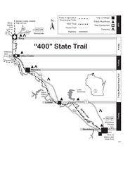
400 State Trail Map
Long and beautiful trail through Wisconsin's finest.
347 miles away

Mount Baldy Ski Trail Map
Trail map from Mount Baldy, which provides downhill skiing. This ski area has its own website.
348 miles away
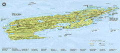
Isle Royale National Park Map
Park map of Isle Royal National Park. Scanned.
348 miles away

Wilson Island State Recreation Area Map
Map of trails, boat ramps and park facilities in Wilson Island State Recreation Area.
348 miles away
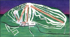
Ski Brule Ski Trail Map
Trail map from Ski Brule.
348 miles away
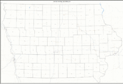
Iowa Zip Code Map
Check out this Zip code map and every other state and county zip code map zipcodeguy.com.
351 miles away
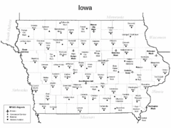
Iowa Airports Map
351 miles away
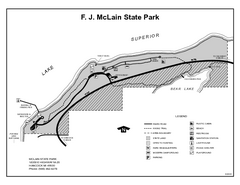
McLain State Park, Michigan Site Map
351 miles away
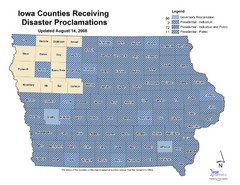
Iowa County Map
Iowa counties that receive disaster funding
351 miles away
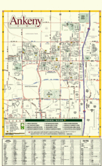
Ankeny City Map
City map of Ankeny, Iowa. Shows street index and schools.
352 miles away
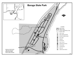
Baraga State Park, Michigan Site Map
354 miles away

Niagara Peninsula Map
355 miles away
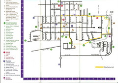
Watford City Map
Map of Watford City, McKenzie County, North Dakota. Includes streets, important buildings, parks...
356 miles away
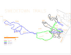
Swedetown Nordic Trail Map
Trail map of nordic ski trails in Swedetown, Michigan
357 miles away
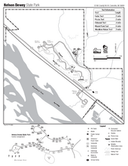
Nelson Dewey State Park Map
Easy trails for you to walk on your vacation.
357 miles away
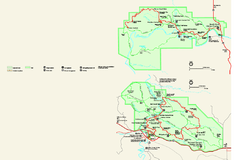
Theodore Roosevelt National Park Official Park Map
Official NPS map of Theodore Roosevelt National Park in North Dakota. Map shows both North and...
357 miles away
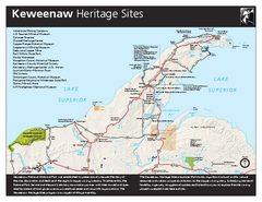
Keweenaw National Historical Park Official Map
Official NPS map of Keweenaw National Historical Park in Michigan. Map shows all areas. Park...
358 miles away

Christmas Mountain Village Ski Trail Map
Trail map from Christmas Mountain Village.
359 miles away
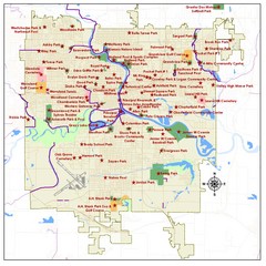
Des Moines Parks Map
359 miles away
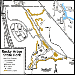
Rocky Arbor State Park Map
Detailed map of parking, water, ledges and boundaries for Rocky Arbor.
360 miles away

Des Moines, Iowa City Map
360 miles away
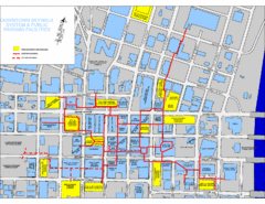
Des Moines Skywalks Map
360 miles away
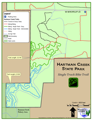
Hartman Creek State Park - Single Track Bike...
360 miles away
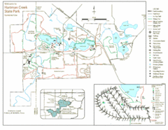
Hartman Creek State Park Map
360 miles away
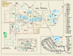
Hartman Creek State Park map
Detailed recreation map for Hartman Creek State Park in Wisconsin
361 miles away
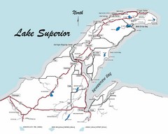
Keweenaw Peninsula Map
Map of the Keweenaw Peninsula, Michigan
362 miles away

