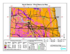
North Dakota Wind Resource Map
249 miles away
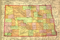
North Dakota Map
249 miles away
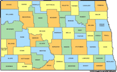
North Dakota Counties Map
249 miles away
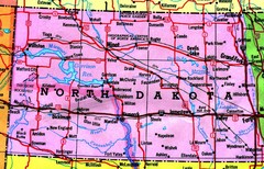
North Dakota Tourist Map
249 miles away
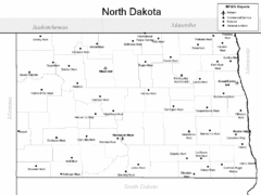
North Dakota Airport Map
249 miles away
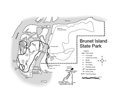
Brunet Island State Park Map
Easy to read legend.
249 miles away
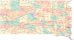
South Dakota Road Map
249 miles away

Chippewa Valley Trail System Map
Multiple trails and hiking routes in the Chippewa Valley.
249 miles away
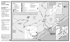
Temperance River State Park Map
map of park with detail of trails and recreation zones
250 miles away
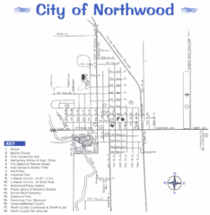
Northwood City Map
City map of Northwood, Iowa with key of churches, parks, and other points of interest.
251 miles away
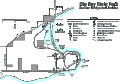
Big Bay State Park Map
Detailed map of nice hikes and stops around Big Bay State Park near Lake Superior.
251 miles away
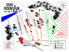
Stony Mountain Ski Area Ski Trail Map
Trail map from Stony Mountain Ski Area, which provides downhill skiing. This ski area has its own...
254 miles away

Pilot Knob State Park Map
Map of trails and park facilities in Pilot Knob State Park.
255 miles away

South Dakota Map
255 miles away
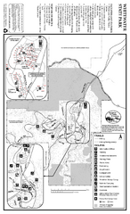
Whitewater State Park Map
map of park with detail of trails and recreation zones
255 miles away
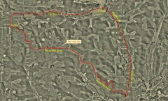
Bike Race Map Blank Hill Road
River Valley Cycling Club Course Map & Elevation Chart
257 miles away

Lutsen Mountains Ski Trail Map
Trail map from Lutsen Mountains, which provides downhill and terrain park skiing. It has 10 lifts...
258 miles away
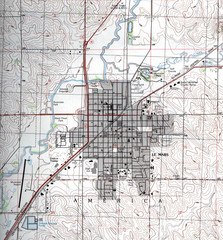
Lemars Iowa Topo Map
USGS topo map of Lemars, Iowa
258 miles away
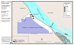
John A. Latsch State Park Map
Map of park with detail of trails and recreation zones
258 miles away
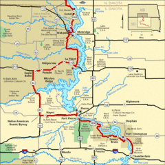
Native American Scenic Byway, South Dakota...
260 miles away

Map of North and South Dakota 1906
261 miles away

Sourth Dakota Wind Resource Map
261 miles away

South Dakota Counties Map
261 miles away
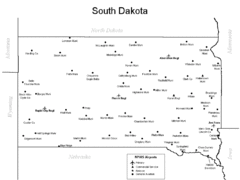
South Dakota Airports Map
261 miles away
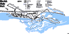
Merrick State Park Map
Beautiful hikes around the waterfront.
261 miles away

Whitecap Ski Trail Map
Official ski trail map of Whitecap Mountains ski area. 43 runs.
264 miles away
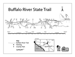
Buffalo River State Trail Map
Detailed map of excited hike through nature's finest.
265 miles away
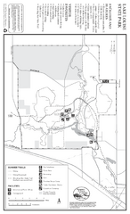
Lake Louise State Park Map
Map of park with detail of trails and recreation zones
266 miles away
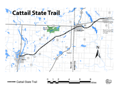
Cat Tail State Trail Map
Map marking trails, bike routes, shelter, toilets and more.
267 miles away
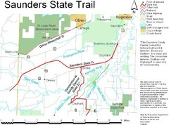
Saunders State Trail Map
Points of interest, lakes, roads, forests and more are marked on this map's key.
267 miles away
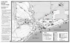
Cascade River State Park Map
Map of park with detail of trails and recreation zones
268 miles away
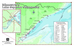
Minnesota's Lake Superior Shipwrecks Map
Guide to Lake Superior shipwrecks in Minnesota
269 miles away
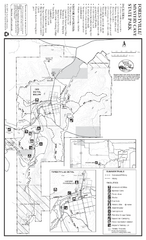
Forestville/Mystery Cave State Park Map
Map of park with detail of trails and recreation zones
270 miles away
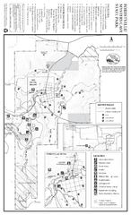
Forestville/Mystery Cave State Park Winter Map
Winter map of park with detail of trails and recreation zones
270 miles away

Whitecap Mountains Ski Trail Map
Trail map from Whitecap Mountains.
272 miles away
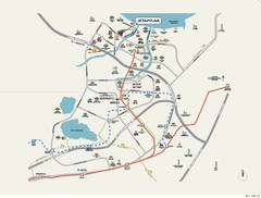
Stratum Condominium in Singapore Map
Stratum Condominium in Singapore offers great units and facilities to all their clients. With high...
274 miles away

Stone State Park Map
Map of trails and park facilities in Stone State Park.
275 miles away
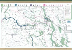
North Dakota Water Resources Map
North Dakota Counties, Rivers and Lakes Map
276 miles away

Big Powderhorn Mountain, Map
Trail map for Big Powderhorn, taken from their website in Jan 2008
279 miles away

Big Powderhorn Mountain Ski Trail Map
Trail map from Big Powderhorn Mountain.
279 miles away

