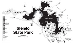
Glendo State Park Map
Glendo State Park is best known for its excellent boating opportunities, with plenty of areas for...
525 miles away
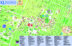
University of Kansas - Main Campus Map
University of Kansas - Main Campus Map. All areas shown.
525 miles away

Tinley Creek Map
Picnic Areas and Trail Map
528 miles away
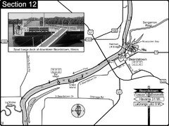
Beardstown, IL Illinois River Map
For boating navigation and river road travel.
528 miles away
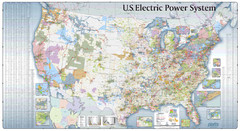
US Electric Power System Map
Map showing the US electric power system. from site: "shows power generation and transmission...
529 miles away

Tinley Creek Trail Map
Bicycle trail map
529 miles away
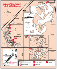
Mazonia-Braidwood Fish and Wildlife Area...
530 miles away
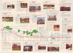
Old Plank Road Trail Map
Map and guide to the Old Plank Road Trail from Joliet, Illinois to Park Forest, Illinois
530 miles away
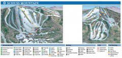
Shanty Creek Ski Trail Map
Official ski trail map of Shanty Creek ski area from the 2007-2008 season. Shows Schuss Mountain.
530 miles away

Shanty Creek Ski Trail Map
Trail map from Shanty Creek.
531 miles away
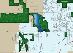
Southwest Olathe Map
Street map of southwest Olathe, Kansas. Shows green spaces.
531 miles away
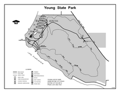
Young State Park, Michigan Site Map
532 miles away
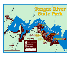
Tongue River Reservoir State Park Map
The 12-mile long reservoir is situated among scenic red shale, juniper canyons, and the open...
532 miles away
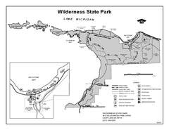
Wilderness State Park, Michigan Site Map
533 miles away
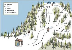
Mulligan’s Hollow Ski Bowl Ski Trail Map
Trail map from Mulligan’s Hollow Ski Bowl.
533 miles away
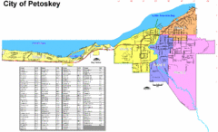
Petoskey Street Map
Street map of Petoskey, Michigan. Official city map.
533 miles away
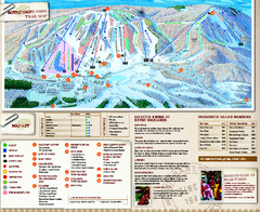
Boyne Highlands Ski Trail Map
Official ski trail map of Boyne Highlands ski area from the 2006-2007 season.
534 miles away
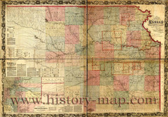
Kansas Railroad Map 1867
Here for your perusal is a sectional map of the state of Kansas showing the route of the Union...
535 miles away
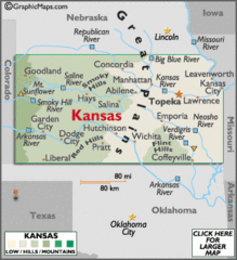
Kansas Elevations Map
535 miles away
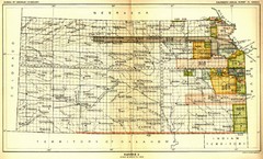
Kansas Native American Territories 1866-1867 Map
489., 492 Cherokee, 19 Jul 1866 (on Indian Territory Map 22, Kansas, Map 27) 495. Sauk and Fox of...
535 miles away
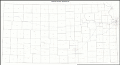
Kansas Zip Code Map
Check out this Zip code map and every other state and county zip code map zipcodeguy.com.
535 miles away
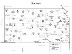
Kansas Airports Map
535 miles away
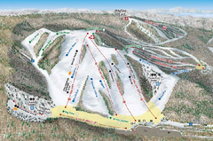
Nubs Nob Ski Area Inset Ski Trail Map
Trail map from Nubs Nob Ski Area.
535 miles away
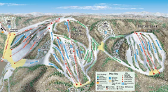
Nubs Nob Ski Area Main Ski Trail Map
Trail map from Nubs Nob Ski Area.
535 miles away
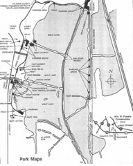
William W. Powers State Park, Illinois Site Map
535 miles away

ILO Dillin Habitat Area, Illinois Site Map
536 miles away
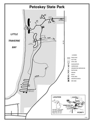
Petoskey State Park, Michigan Site Map
536 miles away

Thorn Creek Trail Map
538 miles away
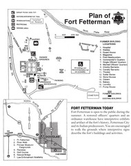
Fort Fetterman State Historic Site Map
Fort Fetterman, located approximately 11 miles northwest of Douglas. The fort was established as a...
538 miles away
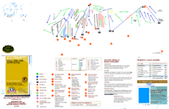
Boyne Highlands Ski Trail Map
Trail map from Boyne Highlands.
538 miles away
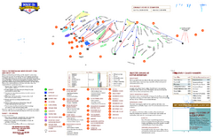
Boyne Mountain Ski Trail Map
Trail map from Boyne Mountain.
539 miles away
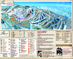
Boyne Mountain Ski Trail Map
Official ski trail map of Boyne Mountain ski area from the 2006-2007 season.
539 miles away
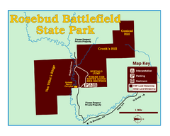
Rosebud Battlefield State Park Map
This National Historic Landmark on the rolling prairie of eastern Montana preserves the site of the...
539 miles away
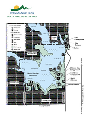
North Sterling State Park Map
Map of park with detail of recreation zones
540 miles away
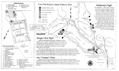
Fort Phil Kearny State Historic Site Map
Fort Phil Kearny State Historic Site is a National Historic Landmark located between Sheridan and...
541 miles away
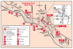
Kankakee River State Park, Illinois Site Map
542 miles away
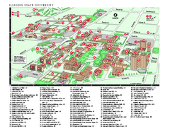
Illinois State University Map
Illinois State University Campus Map. All buildings shown.
542 miles away
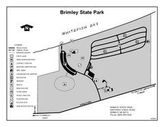
Brimley State Park, Michigan Site Map
542 miles away

Mackinak Island topography Map
543 miles away


