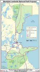
Manitoba Lowlands National Park Tourist Map
517 miles away
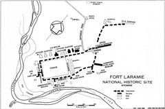
Fort Laramie Guide Map
A layout of the National Historic site Fort Laramie in Wyoming.
517 miles away
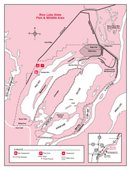
Rice Lake, Illinois Site Map
517 miles away
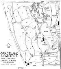
Graceland Cemetery Map
Map of the sections of Graceland cemetery with notable burials marked Key here: http://mappery.com...
517 miles away
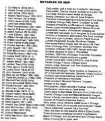
Graceland Cemetery Map key
key for the map of Graceland Cemetery: http://mappery.com/Graceland-Cemetery-Map
517 miles away
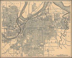
Antique map of Kansas City from 1907
Antique Map of Kansas City From The New Encyclopedic Atlas and Gazetteer of the World, Edited by...
517 miles away
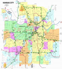
Kansas City Road map
Road map of Kansas City (both Missouri and Kansas). Shows major roads, interstate exit numbers,
517 miles away
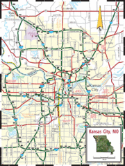
Kansas City Map
Map of main roads/highways in Kansas City area
518 miles away
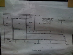
Map of Wunders Cemetery in Chicago, IL
Map of the burial sections for Wunders Cemetery
518 miles away
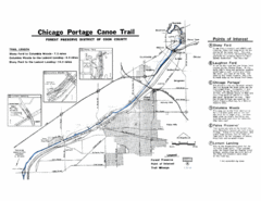
Chicago Portage Canoe Trail Map
Map of the Chicago Portage Canoe Trail in western Cook County on the Des Plaines River, Illinois...
518 miles away

Kansas City, Missouri City Map
518 miles away

Area around Kansas City Road Map
The areas and roads around Kansas City, Missouri
518 miles away

Illinois and Michigan Canal - West Site Map
518 miles away
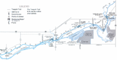
Illinois and Michigan Canal - East Site Map
518 miles away

Mission Penninsula, Grand Traverse Bay, MI Map
518 miles away
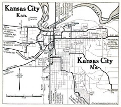
Kansas City The Automobile Blue Book 1920 Map
519 miles away
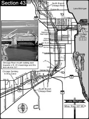
Chicago, IL Sanitary & Ship Canal/Chicago...
This is the beginning of the Illinois Waterway that connects Lake Michigan to the Mississippi River...
519 miles away
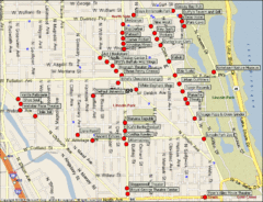
Lincoln Park Chicago Tourist Map
520 miles away
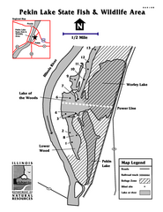
Pekin Lake, Illinois Site Map
520 miles away
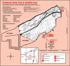
Heidecke Lake, Illinois Site Map
520 miles away
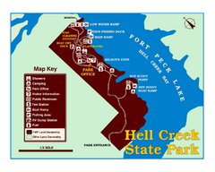
Hell Creek State Park Map
You’ll reach this campground park, 25 miles north of Jordan, through the spectacular scenery...
521 miles away
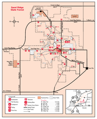
Sand Ridge State Forest, Illinois Site Map
521 miles away

Palos & Sag Valley Map
Picnic Areas and Trail Map
521 miles away
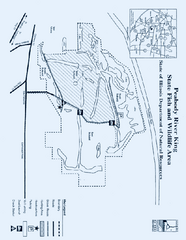
Peabody River King State Fish and Wildlife Area...
521 miles away
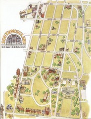
Southmoreland, Kansas City Tourist Map
521 miles away
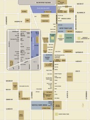
Shopping map of Chicago
Map of all shopping within the 900 Shops district of Chicago
521 miles away
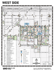
University of Illinois at Chicago - West Map
522 miles away
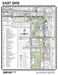
University of Illinois at Chicago - East Map
522 miles away
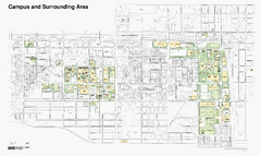
University of Illinois at Chicago Map
522 miles away
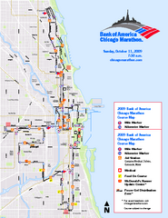
Chicago 2009 Marathon Map
Guide to the 2009 Chicago Marathon
522 miles away
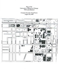
University of Illinios at Chicago Campus Map
522 miles away
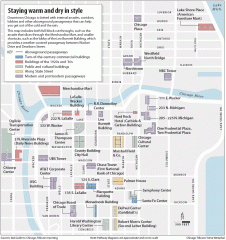
Downtown Chicago tourist map
Incredible pedway map of Downtown Chicago, showing historical architecture and internal arcades to...
522 miles away
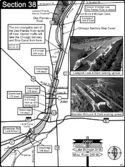
Joliet, IL Illinios river/Des Plaines River/I&...
For boating navigation and river road travel on the Illinois Waterway.
522 miles away
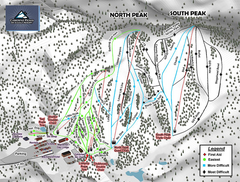
Caberfae Peaks Ski & Golf Resort Ski Trail Map
Trail map from Caberfae Peaks Ski & Golf Resort.
522 miles away
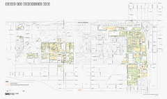
University of Illinois at Chicago Map
University of Illinois at Chicago Campus Map. All buildings shown.
522 miles away
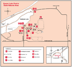
Goose Lake Prairie, Illinois Site Map
522 miles away
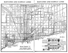
1944 Chicago "L" Elevated Train Map
System map of Chicago subway system
522 miles away
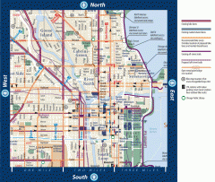
Biking in Downtown Chicago, Illinois Map
Map of bike lanes, bike trails, bike shops, public transportation, museums and other attractions in...
522 miles away
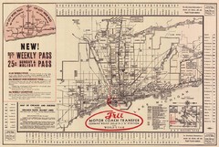
1934 Chicago Rapid Transit Map
522 miles away
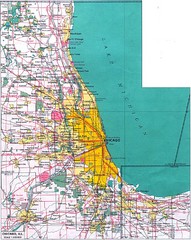
Chicago Map
522 miles away

