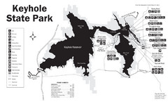
Keyhole State Park Map
Keyhole State Park is located on the western edge of the famed Black Hills, between Sundance and...
431 miles away
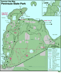
Peninsula State Park Map
Beautiful trails.
431 miles away

Wildcat Den State Park Map
Map of trails and facilities at Wildcat Den State Park.
431 miles away
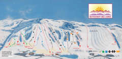
Sunburst Ski Area Ski Trail Map
Trail map from Sunburst Ski Area.
432 miles away
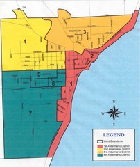
Algoma City Map
City map of Algoma with Aldermanic Districts
433 miles away
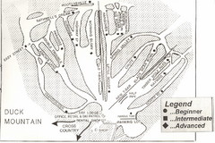
Duck Mountain Ski Trail Map
Trail map from Duck Mountain, which provides downhill and nordic skiing. This ski area has its own...
433 miles away
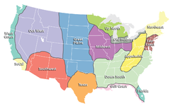
Regions of the United States Map
Appalachia- Hills, hills and more hills. Appalachian landforms contribute to landscapes of...
434 miles away

Little Switzerland Back Ski Trail Map
Trail map from Little Switzerland.
435 miles away
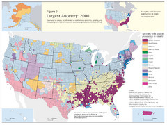
Census 2000 Data Top US Ancestries by County Map
Guide to Ancestries in the US
435 miles away

Clay Banks, Wisconsin Survey Project Map
435 miles away
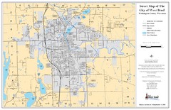
West Bend Street Map
Street map of city of West Bend, Wisconsin.
436 miles away
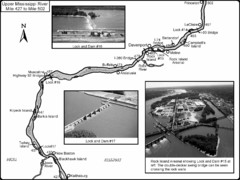
Upper Mississippi River Mile 427 to Mile 502 Map
Historical Map from book "Mississippi River-Historical Sites and Interesting Places
437 miles away

Ski Snowstar Ski Trail Map
Trail map from Ski Snowstar, which provides downhill and night skiing. It has 6 lifts servicing 14...
437 miles away
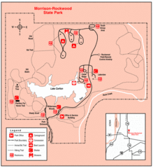
Morrison-Rockwood State Park, Illinois Site Map
439 miles away
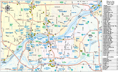
Quad Cities Area, Illinois Map
Tourist map of the Quad Cities Area, Illinois. Shows lodging as well as museums, golf courses...
439 miles away
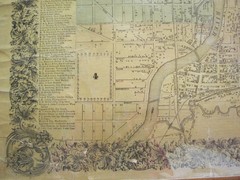
Beloit City Map
City map of Beloit, Wisconsin SW from 1858
439 miles away
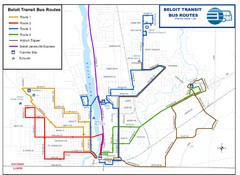
Beloit Bus Routes Map
439 miles away
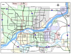
Quad City Region Map
Regional map of Quad City region, which includes Davenport, Iowa and Rock Island, Illinois.
440 miles away

Newport State Park Map
Bicycling, hiking, park office, parking all marked on this detailed map.
440 miles away

Quad Cities Map
Primary street map of Quad Cities region
440 miles away
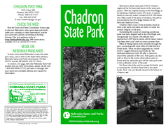
Chadron State Park Map
The majestic beauty of the Pine Ridge forms the backdrop for this great, get away from it all state...
441 miles away
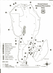
Grand Island National Recreation Area Map
441 miles away
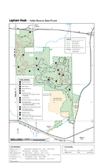
Lapham Peak Map
Ranger residence, hike path, restrooms and more are clearly marked upon this map.
442 miles away

Rock Island State Park, Illinois Site Map
442 miles away

Chippewa Morraine State Park Map
Walking trails.
444 miles away

Rock Island State Park Map
Tour around this beautiful state park.
445 miles away
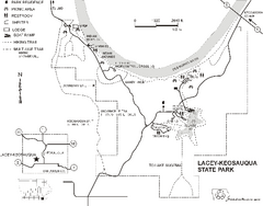
Lacey-Keosauqua State Park Map
Map of trails, indian mounds, lake depths and park facilities for Lacey-Keosauqua State Park.
447 miles away
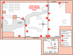
Green River, Illinois Site Map
447 miles away
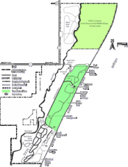
Kohler-Andrae State Park Map
trail, walk, water, nature, tourism, vacation, fun, adventure, journey,
447 miles away
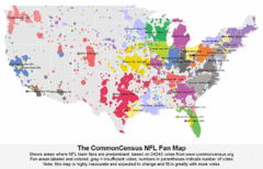
NFL Fan Bases Map
Shows US fan bases of NFL teams
448 miles away
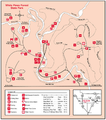
White Pines Forest, Illinois Site Map
448 miles away
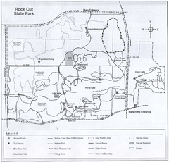
Rock Cut State Park, Illinois Site Map
448 miles away

Rock Cut State Park Map
Trail map of Rock Cut State Park in Winnebago County, Illinois.
448 miles away
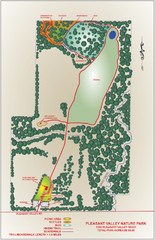
Pleasant Valley Nature Park Map
448 miles away
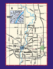
Rockford, Illinois Map
Tourist map of Rockford, Illinois. Museums, parks, hotels and other points of interest are shown.
449 miles away
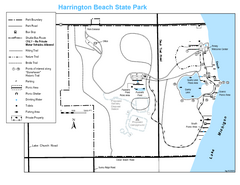
Harrington Beach State Park Map
Trails around Harington Beach State Park.
450 miles away
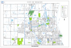
Mequon City Map
City map of Mequon, Wisconsin
451 miles away
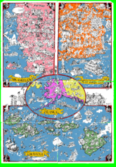
A MAD Pictorial Map of the United States - Back...
I found these raw assembled scans in a dieing torrent in 2010. Hash code...
452 miles away
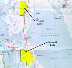
Lake Winnipeg Map
Lake Winnipeg and the land surrounding it.
453 miles away

Alpine Valley Resort Ski Trail Map
Trail map from Alpine Valley Resort.
453 miles away

