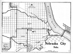
Nebraska City 1920 Map
404 miles away

Red Haw State Park Map
Map of trails, lake depths, fishing spots and park facilities in Red Haw State Park.
405 miles away
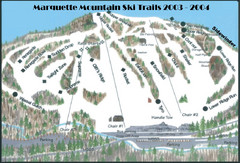
Marquette Mountain Ski Trail Map
Trail map from Marquette Mountain.
406 miles away
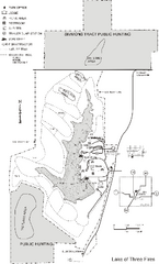
Lake of Three Fires State Park Map
Map of trails, hunting areas and lake access in Lake of Three Fires State Park.
406 miles away
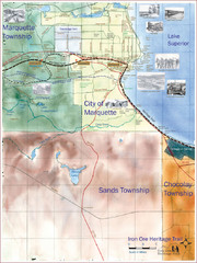
Marquette Trail Map
Trail and road map of Marquette and surrounding area
406 miles away
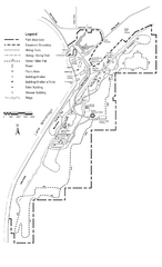
High Cliff Park Map
High quality map with easy to read trails and routes.
407 miles away
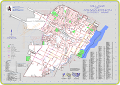
Ashwaubenon Street Map
407 miles away
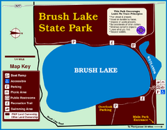
Brush Lake State Park Map
Simple and easily read map.
407 miles away
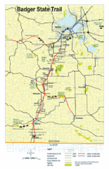
Badger State Trail Map
One of Wisconsin's best trails.
407 miles away
Browntown-Cadiz Springs State Recreation Area Map
Detailed map containing locations on shelters, parks, trails, and toilets.
408 miles away
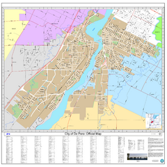
De Pere City Map
Official street map of city of De Pere, Wisconsin
408 miles away
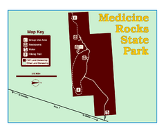
Medicine Rocks State Park Map
As the name implies, Medicine Rocks was a place of "big medicine" where Indian hunting...
409 miles away
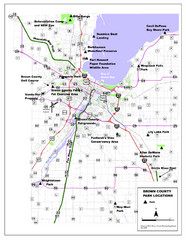
Brown County Parks Map
Shows locations of all parks in Brown County, Wisconsin
409 miles away
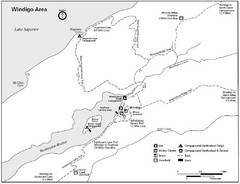
Windigo Area Guide Map
410 miles away
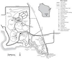
Lake Kegonsa State Park Map
Ball fields, drinking fountains, trails, and more easily guide you around this beautiful park.
411 miles away
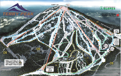
Terry Peak Ski Area Ski Trail Map
Trail map from Terry Peak Ski Area.
411 miles away
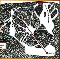
Mystic Miner Ski Resort at Deer Mountain West...
Trail map from Mystic Miner Ski Resort at Deer Mountain.
411 miles away
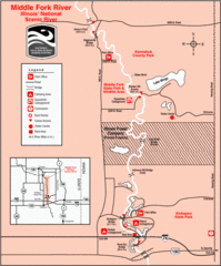
Middle Fork River Park, Illinois Site Map
412 miles away
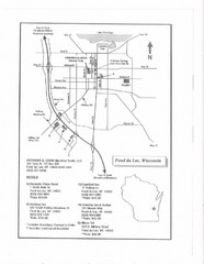
Fon Du Lac, Wisconsin Map
413 miles away
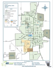
West Liberty City Map
City map of West Liberty, Iowa
414 miles away
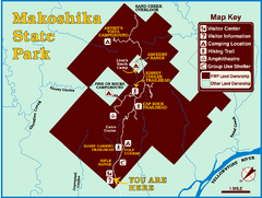
Makoshika State Park Map
To the Sioux Indians, Ma-ko-shi-ka meant bad earth or bad land. Today, as Montana’s largest...
415 miles away
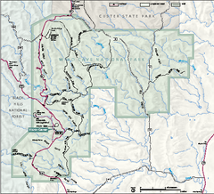
Wind Cave National Park Official Park Map
Official NPS map of Wind Cave National Park in South Dakota. Wind Cave is one of the world's...
417 miles away
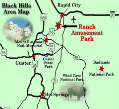
Black Hills Area Map
419 miles away
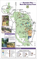
Black Hills National Forest Guide Map
Forest Recreation guide Map
419 miles away
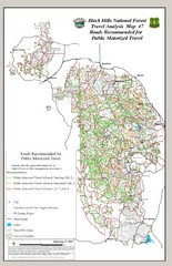
Black Hills National Forest Tourist Map
Black Hills National Forest in Custer, South Dakota
419 miles away
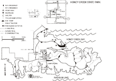
Honey Creek State Park Map
Map of trails, fishing spots and park facilities for Honey Creek State Park.
419 miles away

Black Hills Map
419 miles away
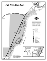
Wells State Park, Michigan Site Map
420 miles away

Wind Cave Tour Routes Detail Map
Shows the following tour routes: Natural Entrance Tour, Garden Eden Tour, Fairgrounds Tour, and...
420 miles away
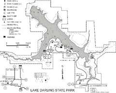
Lake Darling State Park Map
Map of hiking, biking and skiing trails, lake depths and park facilities for Lake Darling State...
420 miles away
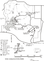
Nine Eagles State Park Map
Map of trails, lake depth and park facilities in Nine Eagles State Park.
424 miles away

Black Hills National Forest Park Map
426 miles away
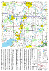
Jefferson County, Wisconsin Map
Map of Jefferson County, includes detailed information on streets, highways, recreational...
427 miles away

Black Hills National Forest Map
Areas in Black Hills National Forest
427 miles away

Potawatomi State Park Map
State Park map with marked trails and sites.
427 miles away
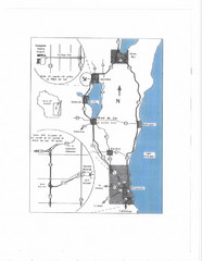
Eastern Wisconsin Map
429 miles away
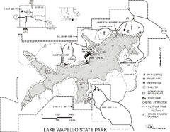
Lake Wapello State Park Map
Map of trails, lake depths and fishing spots at Lake Wapello State Park.
429 miles away

