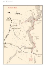
Buckskin Gulch Trail Map
Guide to Buckskin Gulch, the longest slot canyon in the US
235 miles away

Snowmobiling Map, Elko County, Nevada
Map of snowmobiling opportunities in Elko County, Nevada. Snowmobiling areas, roads, and towns are...
237 miles away
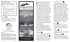
Steamboat Lake State Park Map
Map of park with detail of recreation zones
238 miles away
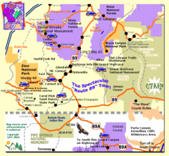
Zion National Park Tourist Map
240 miles away
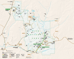
Zion National Park Official map
Official park map of Zion National Park. Shows trails, roads, and all park facilities.
240 miles away
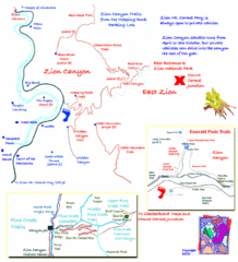
Zion National Park Trails Map
241 miles away

Zion Canyon Map
A detailed map of the Zion Canyon in Zion National Park
241 miles away
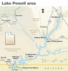
Lake Powell Area Map
Clear map marking the surrounding area of this pristine lake.
244 miles away
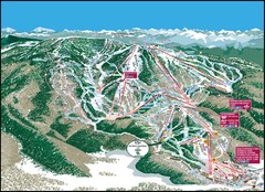
Steamboat Springs Mountain Map
244 miles away
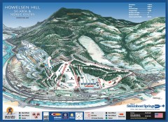
Howelsen Hill Ski Trail Map
Official map of Howelsen Hill ski area in Steamboat, CO. Map shows both downhill and nordic trails...
244 miles away
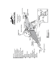
Stagecoach State Park Map
Map of park with detail of campgrounds and recreation zones
245 miles away
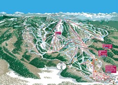
Steamboat Trail Map
Ski trail map
245 miles away
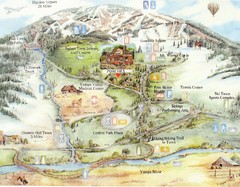
Steamboat Springs Map
A fun map marking points of interest and more.
245 miles away
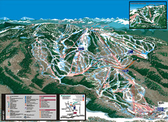
Steamboat Trail Map
245 miles away
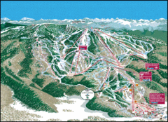
Steamboat Springs Trail Map
Guide to trails in Steamboat Springs Ski Resort, Colorado
245 miles away

Lake Powell Oblique Map
246 miles away
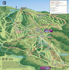
Steamboat Springs Bike Trail Map
Bike trail for Steamboat Springs mountain bike trail.
246 miles away
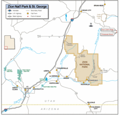
Zion National Park Highway Map
Highways, roads, cities and points of interest are marked on this clear map.
247 miles away
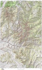
Zion National Park Topography Map
247 miles away
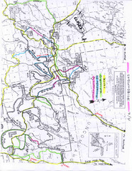
Uncompahgre National Forest Map
National Forest in Western Colorado
248 miles away
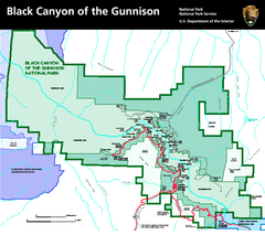
Black Canyon of the Gunnison National Park Map
Official NPS map of Black Canyon of the Gunnison in Colorado. Shows all areas including the South...
248 miles away
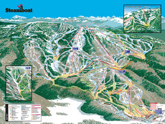
Steamboat Ski Resort Ski Trail Map
Trail map from Steamboat Ski Resort, which provides downhill and terrain park skiing. It has 18...
248 miles away
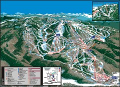
Steamboat Ski Area Ski trail map
Official ski trail map of Steamboat ski area in Steamboat Springs, CO from the 2006-2007 season...
249 miles away
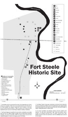
Fort Fred Steele State Historic Site Map
This frontier Army post has a fascinating history interlacing transportation with the military and...
251 miles away
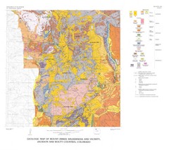
Mount Zirkel Wilderness and Vicinity Geologic Map
Geologic Map of Mount Zirkel Wilderness
252 miles away
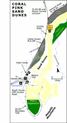
Coral Pink Sand Dunes State Park Map
Rippling arcs of rust-colored sand welcome you as you enter Coral Pink Sand Dunes State Park...
254 miles away
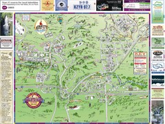
Resort Maps of Eagle River Valley Map
Resort Maps of Eagle River Valley is the most popular and widely distributed map of Minturn, Red...
255 miles away

Boysen State Park Map
255 miles away
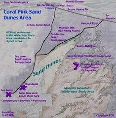
Coral Pink Sand Dunes Map
255 miles away
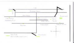
Glenns Ferry City Map
City map of Glenns Ferry, Idaho with information
257 miles away
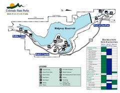
Ridgway State Park Map
Map of park with detail of recreation zones
258 miles away
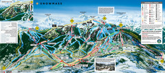
Snowmass Ski Trail Map
Trail map from Snowmass, which provides downhill and terrain park skiing. It has 24 lifts servicing...
259 miles away
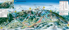
Snowmass Ski Trail Map
Official ski trail map of Snowmass ski area from the 2007-2008 season.
259 miles away
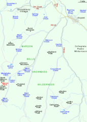
Maroon Bells Area Map
Basic Map of Watershed and Trails around Maroon Bells.
260 miles away
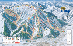
Sun Valley Ski Trail Map 2008
Ski trail map of Sun Valley ski area
261 miles away
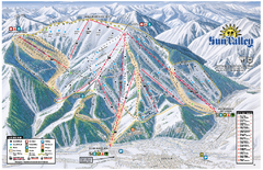
Sun Valley Ski Area Trail Map
Official ski trail map of Bald Mountain, the main mountain of Sun Valley ski area in Sun Valley...
261 miles away
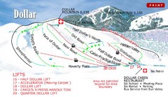
Sun Valley—Bald Mountain Ski Trail Map
Trail map from Sun Valley—Bald Mountain, which provides downhill, nordic, and terrain park skiing...
261 miles away
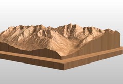
Map carved of the Maroon Bells
CarvedMaps.com can carve any area within the United States. This carving is of the Maroon Bells...
261 miles away
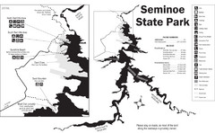
Seminoe State Park Map
Seminoe State Park offers excellent fishing, boating and wildlife-viewing opportunities.
262 miles away
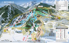
Buttermilk Ski Trail Map
Official ski trail map of Buttermilk ski area from the 2007-2008 season.
263 miles away

