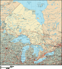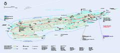
Isle Royale National Park Official Park Map
Official NPS map of Isle Royale National Park in Michigan. Isle Royale National Park is one of...
304 miles away
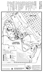
Flandrau State Park Map
Map of park with detail of trails and recreation zones
304 miles away
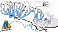
Asessippi Winter Park Ski Trail Map
Trail map from Asessippi Winter Park, which provides downhill skiing. This ski area has its own...
305 miles away
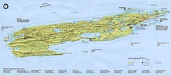
Isle Royale National Park Map
307 miles away
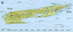
Isle Royale National Park Map
Park map of Isle Royal National Park. Scanned.
309 miles away

St. Olaf College Map
Campus map of St. Olaf College
309 miles away
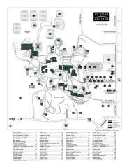
St. Olaf College Map
Campus map of St. Olaf College with index
309 miles away
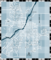
Northfield Street Map
Street map of Northfield, Minnesota
310 miles away

Welch Village Ski Area Ski Trail Map
Trail map from Welch Village Ski Area, which provides downhill, night, and terrain park skiing. It...
311 miles away
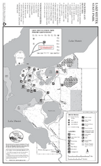
Lake Shetek State Park Winter Map
Winter seasonal map of park with detail of trails and recreation zones
313 miles away
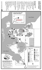
Lake Shetek State Park Summer Map
Summer seasonal map of park with detail of trails and recreation zones
313 miles away

Gull Bay First Nation route map
A simple route map that tells you how to get to Gull Bay First Nation in Northren Ontario. For...
314 miles away
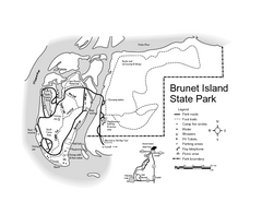
Brunet Island State Park Map
Easy to read legend.
315 miles away
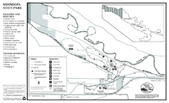
Minneopa State Park Map
Map of park with detail of trails and recreation zones
316 miles away

Mount Kato Ski Area Ski Trail Map
Trail map from Mount Kato Ski Area.
317 miles away
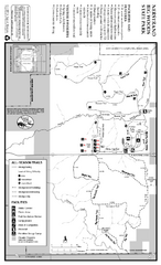
Nerstrand-Big Woods State Park Map
map of park with detail of trails and recreation zones
318 miles away
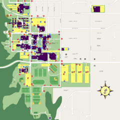
Minnesota State University Mankato Campus Map
Campus map of Minnesota State University Mankato
318 miles away
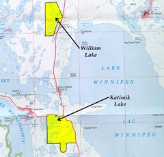
Lake Winnipeg Map
Lake Winnipeg and the land surrounding it.
319 miles away

Sakatah Lake State Park Map
map of park with detail of trails and recreation zones
319 miles away
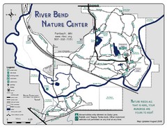
River Bend Nature Center Map
320 miles away
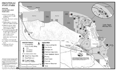
Frontenac State Park Winter Map
Map of park with detail of trails and recreation zones
322 miles away

Mount Frontenac Ski Trail Map
Trail map from Mount Frontenac.
322 miles away
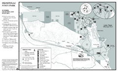
Frontenac State Park Summer Map
Map of park with detail of trails and recreation zones
322 miles away
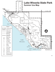
Lake Wissota State Park Map
Easy hiking along the beautiful water front.
322 miles away
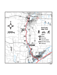
Red Cedar State Trail Map
Detailed trail map.
323 miles away

Chippewa Valley Trail System Map
Multiple trails and hiking routes in the Chippewa Valley.
325 miles away
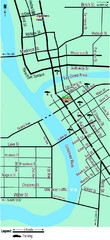
Downtown Eau Claire Eateries Map
Make sure you set aside the whole day and visit the numerous shops in Eau Claire's Downtown...
326 miles away
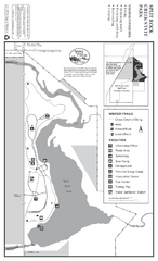
Split Rock Creek State Park Winter Map
Winter seasonal map of park with detail of trails and recreation zones
329 miles away
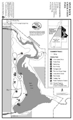
Split Rock Creek State Park Summer Map
Summer seasonal map of park with detail of trails and recreation zones
329 miles away
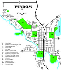
Windom City Parks Map
330 miles away
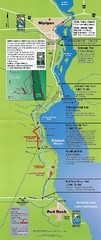
Nipigon River Recreational Trail Map
Map of the river trail between Red Rock and Nipigon.
333 miles away

Owatonna Map
Visitor Map of Owatonna, Minnesota. Includes all streets, highways, restaurants, hotels, parks and...
333 miles away
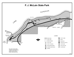
McLain State Park, Michigan Site Map
335 miles away
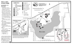
Rice Lake State Park Map
map of park with detail of trails and recreation zones
335 miles away
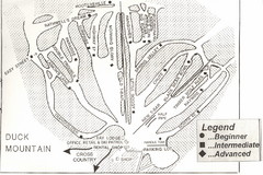
Duck Mountain Ski Trail Map
Trail map from Duck Mountain, which provides downhill and nordic skiing. This ski area has its own...
337 miles away
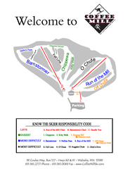
Coffee Mill Ski Trail Map
Trail map from Coffee Mill.
339 miles away
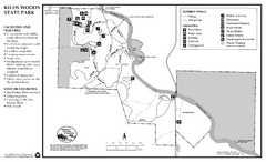
Kilen Woods State Park Summer Map
Summer seasonal map of park with detail of trails and recreation zones
340 miles away
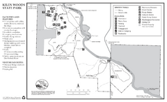
Kilen Woods State Park Winter Map
Winter seasonal map of park with detail of trails and recreation zones
340 miles away
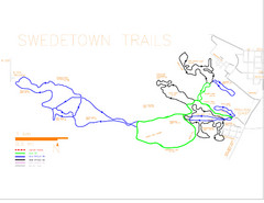
Swedetown Nordic Trail Map
Trail map of nordic ski trails in Swedetown, Michigan
340 miles away

