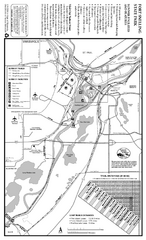
Fort Snelling State Park Summer Map
Summer map of park with detail of trails and recreation zones
283 miles away
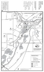
Fort Snelling State Park Winter Map
Winter map of park with detail of trails and recreation zones
283 miles away

Willow River State Park Map
Easily read map with detailed markings.
284 miles away
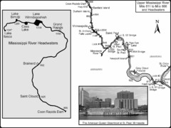
Upper Mississippi River Mile 811 to Mile 1347 Map
Historical Map from book "Mississippi River-Historical Sites and Interesting Places
284 miles away
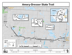
Ammery Dresser Trail Map
Easy to follow trail map.
284 miles away
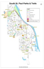
South St. Paul Parks and Trails Map
Park and trail map of South St. Paul, Minnesota.
284 miles away

Whitecap Ski Trail Map
Official ski trail map of Whitecap Mountains ski area. 43 runs.
284 miles away
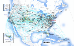
United Airlines North America Route Map
286 miles away
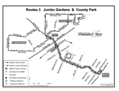
Thunder Bay Transit Map
A proposal to Thunder Bay transit to replace their actual map design for bus routes which are not...
287 miles away
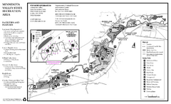
Minnesota Valley State Recreation Area Map
Map of recreation area with detail of trails and recreation zones
288 miles away
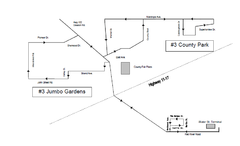
Thunder Bay Transit Map
This is the original map of Thunder Bay Bus Route 3. See my proposal for an improved design.
289 miles away
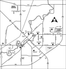
City of Marshall Visitor's Map
City of Marshall Visitor's Map describes the location of basic needs as well as recreational...
289 miles away
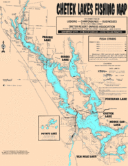
Chetek Lakes Fishing Map
Fishing map of the Chetek Lakes region
290 miles away

Whitecap Mountains Ski Trail Map
Trail map from Whitecap Mountains.
290 miles away

Buck Hill Ski Area Ski Trail Map
Trail map from Buck Hill Ski Area, which provides downhill, night, and terrain park skiing. It has...
290 miles away
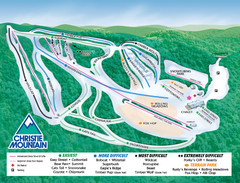
Christie Mountain Ski Area Ski Trail Map
Trail map from Christie Mountain Ski Area.
291 miles away
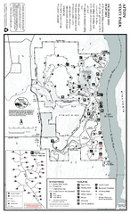
Afton State Park Winter Map
Map of park with detail of trails and recreation zones
291 miles away
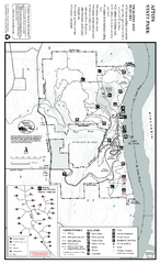
Afton State Park Summer Map
Map of park with detail of trails and recreation zones
291 miles away
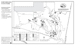
Fort Ridgely State Park Winter Map
Winter map of park with detail of trails and recreation zones
291 miles away
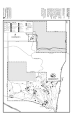
Fort Ridgely State Park Summer Map
Summer map of park with detail of trails and recreation zones
291 miles away

Afton Alps Ski Area Ski Trail Map
Trail map from Afton Alps Ski Area, which provides downhill, night, and terrain park skiing. It has...
292 miles away
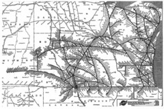
Chicago & North Western Line Railroad System...
C&NW map circa 1909
292 miles away
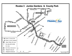
Thunder Bay Transit Map
I made this map after desperately trying to find out how to arrive at my daughters violin class...
292 miles away

North America Climate Zones Map
292 miles away

Mount Baldy Ski Trail Map
Trail map from Mount Baldy, which provides downhill skiing. This ski area has its own website.
293 miles away
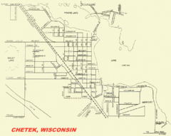
Chetek City Map
City map of Chetek, Wisconsin
293 miles away

Big Powderhorn Mountain, Map
Trail map for Big Powderhorn, taken from their website in Jan 2008
293 miles away

Big Powderhorn Mountain Ski Trail Map
Trail map from Big Powderhorn Mountain.
293 miles away
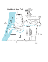
Kinnickinnic State Park Map
Map detailing hiking routes and stops along the way.
294 miles away

Ontario Regional Trail Committee Boundaries Map
Sources: TCT, DMTI Spatial., MNR Projection: UTM, NAD83. Produced by the TCT in Montreal, October...
295 miles away
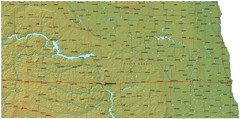
North Dakota Map
295 miles away
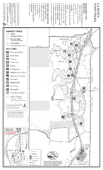
Camden State Park Summer Map
Map of park with detail of trails and recreation zones
296 miles away
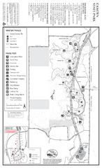
Camden State Park Winter Map
Map of park with detail of trails and recreation zones
296 miles away

Blackjack Ski Resort Ski Trail Map
Trail map from Blackjack Ski Resort.
297 miles away

Porcupine Mountain Ski Trail Map
Trail map from Porcupine Mountain.
298 miles away

Indianhead Mountain Resort Ski Trail Map
Trail map from Indianhead Mountain Resort.
298 miles away
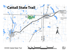
Cat Tail State Trail Map
Map marking trails, bike routes, shelter, toilets and more.
299 miles away

Gull Bay First Nation - How to get there map
A simple route map that tells you how to get to Kiashke Zaaging Anishinaabek (Gull Bay First Nation...
301 miles away
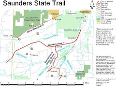
Saunders State Trail Map
Points of interest, lakes, roads, forests and more are marked on this map's key.
303 miles away
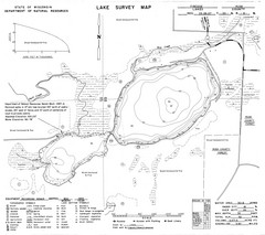
Fireside Lake Survey Map
Survey of Lake and surrounding areas done by State of Wisconsin Department of Natural Resources
303 miles away

