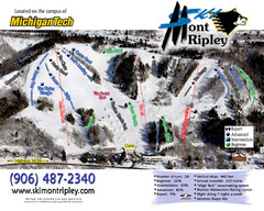
Mont Ripley Ski Trail Map
Trail map from Mont Ripley.
558 miles away
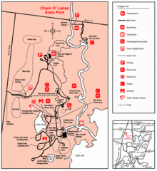
Chain O' Lakes, Illinois Site Map
559 miles away
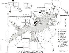
Lake Wapello State Park Map
Map of trails, lake depths and fishing spots at Lake Wapello State Park.
559 miles away
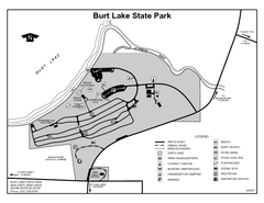
Burt Lake State Park, Michigan Site Map
560 miles away
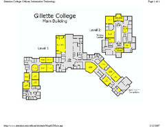
Gilette College Campus Map
Gilette College Campus Map. All buildings shown.
562 miles away
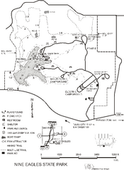
Nine Eagles State Park Map
Map of trails, lake depth and park facilities in Nine Eagles State Park.
562 miles away
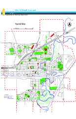
Swift Current Tourist Map
Tourist map of Swift Current, Saskatchewan. Shows all parks and walking paths.
562 miles away
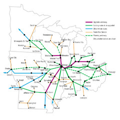
Midwest Direct Route Map
The most direct routes in the Midwest United States
564 miles away
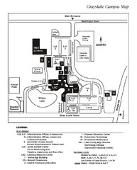
University Center of Lake County Map
566 miles away
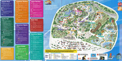
Six Flags Great America Theme Park Map
Guide to Six Flags and Hurricane Harbor near Chicago, IL
568 miles away
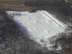
Raging Buffalo Snowboard Park Ski Trail Map
Trail map from Raging Buffalo Snowboard Park, which provides downhill, night, and terrain park...
568 miles away
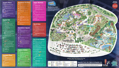
2008 Six Flags Great America Theme Park Map
Guide to Six Flags and Hurricane Harbor near Chicago, IL
568 miles away
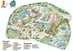
Six Flags Great America Theme Park Map
Official Park Map of Six Flags Great America, in Chicago.
568 miles away
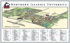
Northern Illinois University Map
Northern Illinois University Campus Map. All areas shown.
568 miles away
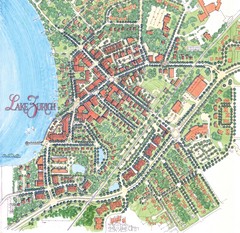
Lake Zurich, Illinois Tourist Map
572 miles away
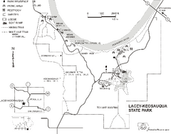
Lacey-Keosauqua State Park Map
Map of trails, indian mounds, lake depths and park facilities for Lacey-Keosauqua State Park.
573 miles away
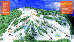
Treetops Sylvan Resort Ski Trail Map
Trail map from Treetops Sylvan Resort.
573 miles away
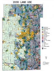
Kane County Land Use Map
Map of Land Use in Kane County. Includes color-coded zoning areas, streets, and waterways.
575 miles away
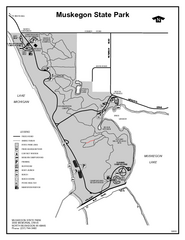
Muskegon State Park, Michigan Site Map
576 miles away
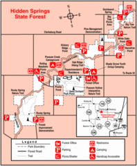
Hidden Springs, Illinois Site Map
576 miles away
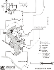
Geode State Park Map
Map of trails, lake depths and park facilities for Geode State Park.
577 miles away
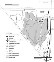
Havenwoods State Forest Map
Hiking trails and bus stops marked on this map.
579 miles away

Harper College Campus Map
Harper College Campus Map. All buildings shown.
580 miles away

Villa Olivia Ski Trail Map
Trail map from Villa Olivia, which provides downhill, night, and terrain park skiing. It has 7...
580 miles away
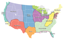
Regions of the United States Map
Appalachia- Hills, hills and more hills. Appalachian landforms contribute to landscapes of...
581 miles away
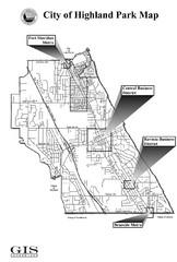
Highland Park City Map
City Map of Highland Park, Illinois
582 miles away
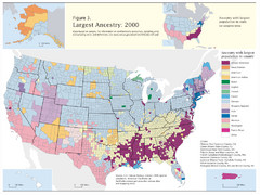
Census 2000 Data Top US Ancestries by County Map
Guide to Ancestries in the US
582 miles away
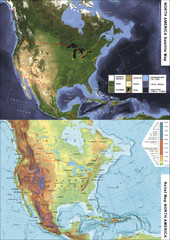
North America Satellite Relief Pair Map
A satellite image of North America twinned with a relief (or physical) representation of the same...
583 miles away

Shimek State Forest Horse Trail Map
Map of Horse Trail Sytem within Shimek State Forest.
584 miles away

Henderson County Wildlife Area, Illinois Site Map
584 miles away
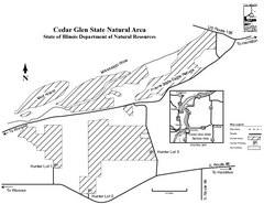
Cedar Glen State Park, Illinois Site Map
585 miles away

Shimek State Forest Hiking Trail Map
Map of hiking trails in Shimek State Forest.
585 miles away
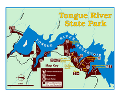
Tongue River Reservoir State Park Map
The 12-mile long reservoir is situated among scenic red shale, juniper canyons, and the open...
586 miles away
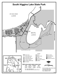
South Higgins Lake State Park, Michigan Site Map
588 miles away

North Branch Bicycle Trail Map
589 miles away
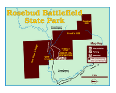
Rosebud Battlefield State Park Map
This National Historic Landmark on the rolling prairie of eastern Montana preserves the site of the...
590 miles away
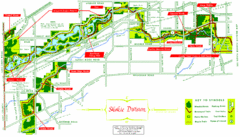
Skokie Division Map
Map of Skokie Division forests and trails, Cook County, IL
590 miles away
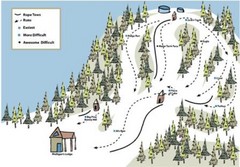
Mulligan’s Hollow Ski Bowl Ski Trail Map
Trail map from Mulligan’s Hollow Ski Bowl.
590 miles away
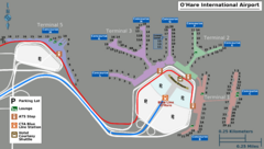
Chicago O'hare Airport Map
590 miles away


