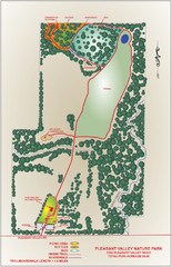
Pleasant Valley Nature Park Map
516 miles away
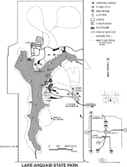
Lake Ahquabi State Park Map
Map of trails, lake depths and park facilities for Lake Ahquabi State Park.
516 miles away
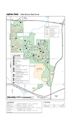
Lapham Peak Map
Ranger residence, hike path, restrooms and more are clearly marked upon this map.
517 miles away

Wind Cave Tour Routes Detail Map
Shows the following tour routes: Natural Entrance Tour, Garden Eden Tour, Fairgrounds Tour, and...
517 miles away

Chippewa Morraine State Park Map
Walking trails.
517 miles away

Black Hills National Forest Park Map
518 miles away

Black Hills National Forest Map
Areas in Black Hills National Forest
520 miles away

Sleeping Bear Dunes National Lakeshore Map
520 miles away
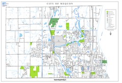
Mequon City Map
City map of Mequon, Wisconsin
520 miles away
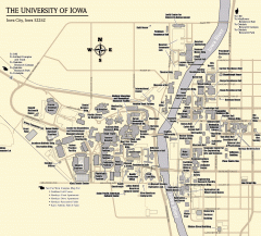
University of Iowa Map
Campus Map of the University of Iowa. All buildings shown.
520 miles away

Glen Arbor MI walking map
520 miles away
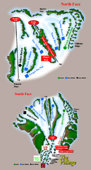
The Homestead Ski Trail Map
Trail map from The Homestead.
520 miles away

Glen Arbor MI Map
520 miles away

Empire Michigan Map
520 miles away
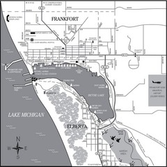
Frankfort-Elberta City Map
City map of Frankfort and Elberta, Michigan on shore of Lake Michigan.
521 miles away
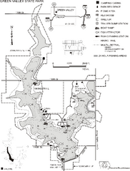
Green Valley State Park Map
Map of trails, lake depths, fishing spots and park facilities for Green Valley State Park.
523 miles away

Leland MI Map
525 miles away
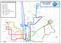
Beloit Bus Routes Map
527 miles away

Northport MI Map
527 miles away
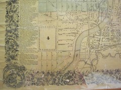
Beloit City Map
City map of Beloit, Wisconsin SW from 1858
527 miles away
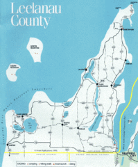
Leelanau County Lake Map
Lakes in Leelanau County.
528 miles away
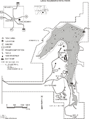
Lake Keomah State Park Map
Map of trails, fishing spots, lake depths and park facilities for Lake Keomah State Park.
528 miles away
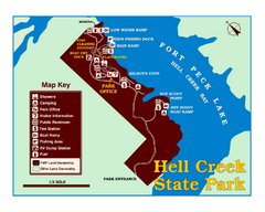
Hell Creek State Park Map
You’ll reach this campground park, 25 miles north of Jordan, through the spectacular scenery...
529 miles away
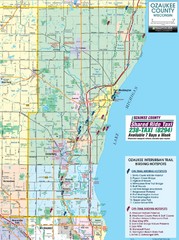
Ozaukee County Interurban Trail Map
Map of on and off trail key birding spots
529 miles away
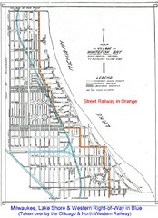
Whitefish Bay - 1926 Map
Whitefish Bay - 1926
529 miles away
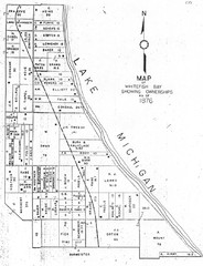
Whitefish Bay - 1876 Map
Whitefish Bay, Wisconsin - 1876 Ownership map
529 miles away
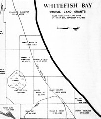
Whitefish Bay Original Land Grants 1835 Map
Whitefish Bay Original Land Grants 1835
530 miles away

Milwaukee Urban Water Trail Map
530 miles away
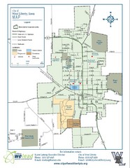
West Liberty City Map
City map of West Liberty, Iowa
530 miles away
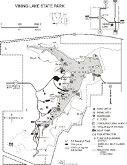
Viking Lake State Park Map
Map of trails, lake depths, fishing spots and park facilities in Viking Lake State Park.
531 miles away
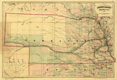
1874 Nebraska Railroad Map
Road Map and Guide to Railroads in Nebraska, used for settlers
532 miles away

Alpine Valley Resort Ski Trail Map
Trail map from Alpine Valley Resort.
532 miles away
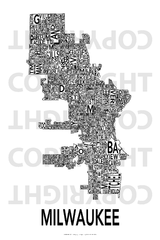
Urban Neighborhood Map: Milwaukee Map
This Urban Neighborhood Poster of Milwaukee is a modern twist on traditional maps - perfect to...
533 miles away
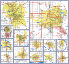
Nebraska City Road Maps Map
Shows roads/highways in 13 Nebraska cities.
533 miles away
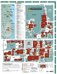
University of Wisconsin - Milwaukee Map
Campus Map of the University of Wisconsin - Milwaukee. All area's shown.
534 miles away
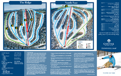
Crystal Mountain Ski Trail Map
Trail map from Crystal Mountain.
534 miles away
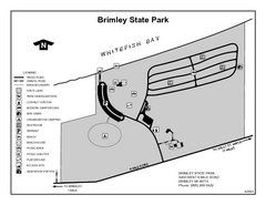
Brimley State Park, Michigan Site Map
534 miles away
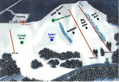
Crystal Ridge Ski Area Ski Trail Map
Trail map from Crystal Ridge Ski Area.
536 miles away
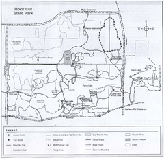
Rock Cut State Park, Illinois Site Map
537 miles away

