Quetico Provincial Park Map
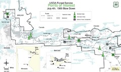
BWCAW Visitors Map. Shows parameters of BWCAW areas, camp grounds, roads and information kiosks.
272 miles away

Blackjack Ski Resort Ski Trail Map
Trail map from Blackjack Ski Resort.
273 miles away
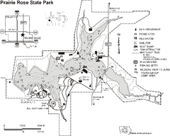
Prairie Rose State Park Map
Map of trails, lake depths, fishing spots and park facilities in Prairie Rose State Park.
273 miles away
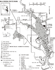
Big Creek State Park Map
Map of trails, lake depths and facilities in Big Creek State Park.
274 miles away
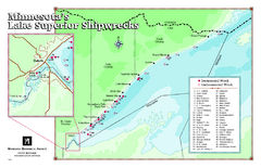
Minnesota's Lake Superior Shipwrecks Map
Guide to Lake Superior shipwrecks in Minnesota
274 miles away

Indianhead Mountain Resort Ski Trail Map
Trail map from Indianhead Mountain Resort.
275 miles away

North Dakota Small Game Map
Guide to hunting sandhill cranes in North Dakota
275 miles away
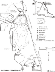
Pikes Peak State Park Map
Map of trails, effigy mounds and park facilities in Pikes Peak State Park.
277 miles away
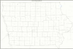
Iowa Zip Code Map
Check out this Zip code map and every other state and county zip code map zipcodeguy.com.
280 miles away
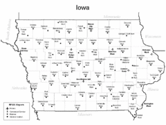
Iowa Airports Map
280 miles away
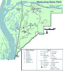
Wyalusing State Park Map
Detailed Park Map.
280 miles away
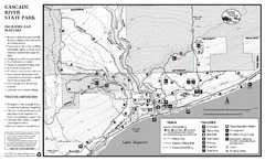
Cascade River State Park Map
Map of park with detail of trails and recreation zones
281 miles away
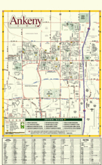
Ankeny City Map
City map of Ankeny, Iowa. Shows street index and schools.
281 miles away
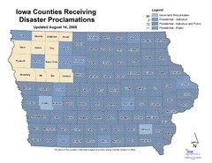
Iowa County Map
Iowa counties that receive disaster funding
281 miles away

Wilson Island State Recreation Area Map
Map of trails, boat ramps and park facilities in Wilson Island State Recreation Area.
281 miles away

Backbone State Park Map
Map of trails and facilities in Backbone State Park.
281 miles away
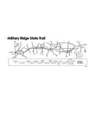
Military Ridge State Trail Map
Simple map marking trail route.
287 miles away
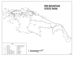
Rib Mountain State Park Map
Simple state park map with nice hiking trails.
287 miles away

Granite Peak Ski Trail Map
Trail map from Granite Peak.
287 miles away
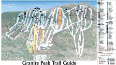
Granite Peak Ski Trail Map
Official ski trail map of Granite Peak ski area from the 2004-2005 season.
287 miles away

Porcupine Mountain Ski Trail Map
Trail map from Porcupine Mountain.
288 miles away
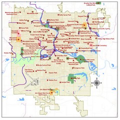
Des Moines Parks Map
288 miles away
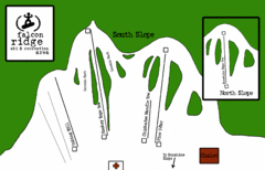
Falcon Ridge Ski Trail Map
Trail map from Falcon Ridge, which provides downhill and nordic skiing. This ski area has its own...
289 miles away

Des Moines, Iowa City Map
289 miles away
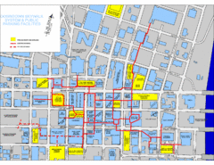
Des Moines Skywalks Map
289 miles away
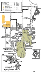
Buckhorn State Park Map
Hiking trails and fun locations marked on this map.
292 miles away
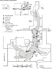
Rock Creek State Park Map
Map of trails, hunting and fishing areas in Rock Creek State Park.
294 miles away
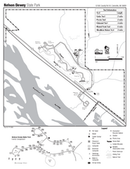
Nelson Dewey State Park Map
Easy trails for you to walk on your vacation.
295 miles away
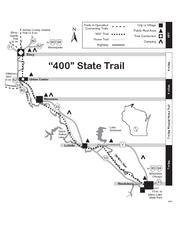
400 State Trail Map
Long and beautiful trail through Wisconsin's finest.
295 miles away
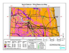
North Dakota Wind Resource Map
296 miles away
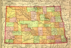
North Dakota Map
296 miles away
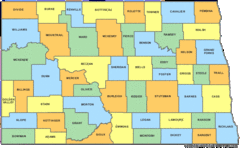
North Dakota Counties Map
296 miles away
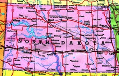
North Dakota Tourist Map
296 miles away
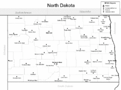
North Dakota Airport Map
296 miles away
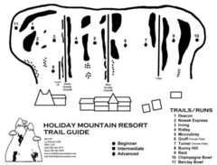
Holiday Mountain Ski Trail Map
Trail map from Holiday Mountain, which provides downhill skiing. It has 4 lifts. This ski area has...
296 miles away
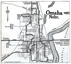
Omaha Nebraska 1920 Map
297 miles away
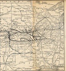
1925 Union Pacific Railroad Map Part 2
Guide to the Union Pacific railroad lines in the Midwest of the United States
297 miles away
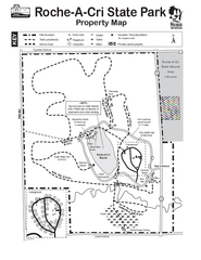
Roche A Cri State Park Map
Marked hiking trails for this State Park easily read on this map.
299 miles away
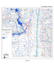
Groundwater Elevation of Portage County Map
Using the water table elevation map, generalized groundwater flow directions can be estimated.
300 miles away

