
Gull Bay First Nation route map
A simple route map that tells you how to get to Gull Bay First Nation in Northren Ontario. For...
413 miles away

Milwaukee Urban Water Trail Map
413 miles away
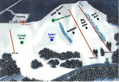
Crystal Ridge Ski Area Ski Trail Map
Trail map from Crystal Ridge Ski Area.
413 miles away

Newport State Park Map
Bicycling, hiking, park office, parking all marked on this detailed map.
414 miles away
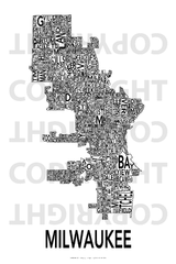
Urban Neighborhood Map: Milwaukee Map
This Urban Neighborhood Poster of Milwaukee is a modern twist on traditional maps - perfect to...
414 miles away

Wind Cave Tour Routes Detail Map
Shows the following tour routes: Natural Entrance Tour, Garden Eden Tour, Fairgrounds Tour, and...
415 miles away
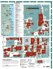
University of Wisconsin - Milwaukee Map
Campus Map of the University of Wisconsin - Milwaukee. All area's shown.
415 miles away
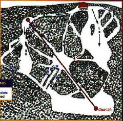
Mystic Miner Ski Resort at Deer Mountain West...
Trail map from Mystic Miner Ski Resort at Deer Mountain.
415 miles away
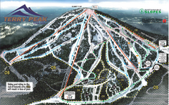
Terry Peak Ski Area Ski Trail Map
Trail map from Terry Peak Ski Area.
416 miles away
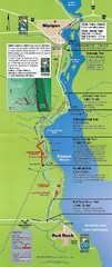
Nipigon River Recreational Trail Map
Map of the river trail between Red Rock and Nipigon.
416 miles away
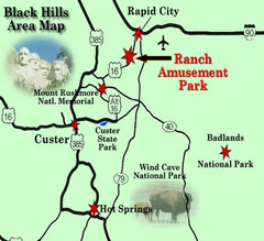
Black Hills Area Map
416 miles away
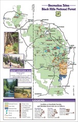
Black Hills National Forest Guide Map
Forest Recreation guide Map
416 miles away
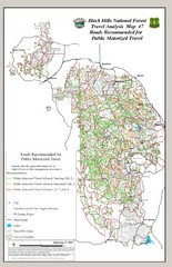
Black Hills National Forest Tourist Map
Black Hills National Forest in Custer, South Dakota
417 miles away
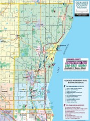
Ozaukee County Interurban Trail Map
Map of on and off trail key birding spots
417 miles away
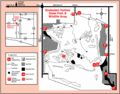
Snakeden Hollow State Park, Illinois Site Map
418 miles away

Gull Bay First Nation - How to get there map
A simple route map that tells you how to get to Kiashke Zaaging Anishinaabek (Gull Bay First Nation...
420 miles away
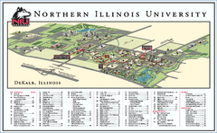
Northern Illinois University Map
Northern Illinois University Campus Map. All areas shown.
420 miles away

Wilmot Mountain Trail Map
Trail map from Wilmot Mountain's website Jan 2008, colorized to show trail difficulties
420 miles away

Wilmot Mountain Ski Trail Map
Trail map from Wilmot Mountain.
420 miles away

Black Hills Map
420 miles away

Snow Creek Ski Trail Map
Trail map from Snow Creek.
421 miles away

Rock Island State Park Map
Tour around this beautiful state park.
422 miles away

Black Hills National Forest Park Map
424 miles away

Black Hills National Forest Map
Areas in Black Hills National Forest
424 miles away
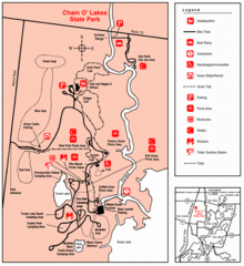
Chain O' Lakes, Illinois Site Map
425 miles away
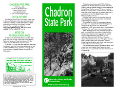
Chadron State Park Map
The majestic beauty of the Pine Ridge forms the backdrop for this great, get away from it all state...
426 miles away
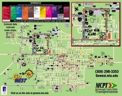
Western Illinois University Tranist Map
Map of Western Illinois University transit map throughout campus and Macomb
428 miles away
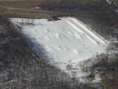
Raging Buffalo Snowboard Park Ski Trail Map
Trail map from Raging Buffalo Snowboard Park, which provides downhill, night, and terrain park...
429 miles away
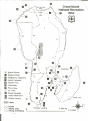
Grand Island National Recreation Area Map
430 miles away
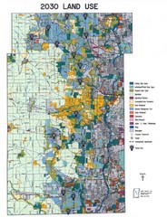
Kane County Land Use Map
Map of Land Use in Kane County. Includes color-coded zoning areas, streets, and waterways.
432 miles away
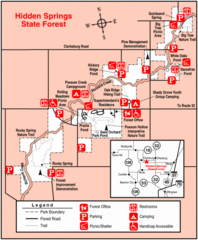
Hidden Springs, Illinois Site Map
432 miles away
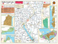
Tuttle Creek Lake Map
Army Corps of Engineers Map of Tuttle Creek Lake and adjoining State Parks.
432 miles away
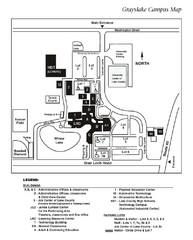
University Center of Lake County Map
433 miles away
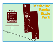
Medicine Rocks State Park Map
As the name implies, Medicine Rocks was a place of "big medicine" where Indian hunting...
433 miles away
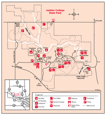
Jubilee College State Park, Illinois Site Map
435 miles away
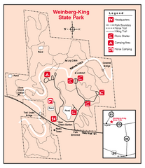
Weinberg-King State Park, Illinois Site Map
435 miles away
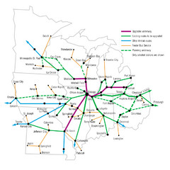
Midwest Direct Route Map
The most direct routes in the Midwest United States
436 miles away
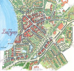
Lake Zurich, Illinois Tourist Map
436 miles away
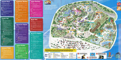
Six Flags Great America Theme Park Map
Guide to Six Flags and Hurricane Harbor near Chicago, IL
436 miles away
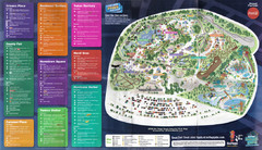
2008 Six Flags Great America Theme Park Map
Guide to Six Flags and Hurricane Harbor near Chicago, IL
436 miles away

