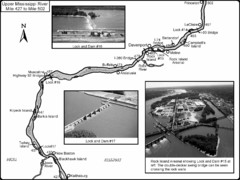
Upper Mississippi River Mile 427 to Mile 502 Map
Historical Map from book "Mississippi River-Historical Sites and Interesting Places
371 miles away
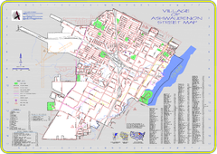
Ashwaubenon Street Map
371 miles away

Ski Snowstar Ski Trail Map
Trail map from Ski Snowstar, which provides downhill and night skiing. It has 6 lifts servicing 14...
372 miles away
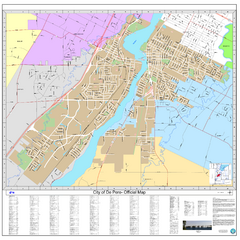
De Pere City Map
Official street map of city of De Pere, Wisconsin
372 miles away
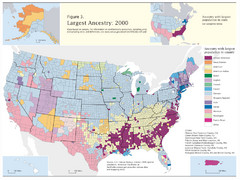
Census 2000 Data Top US Ancestries by County Map
Guide to Ancestries in the US
373 miles away
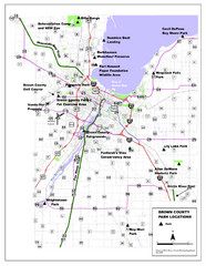
Brown County Parks Map
Shows locations of all parks in Brown County, Wisconsin
374 miles away
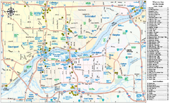
Quad Cities Area, Illinois Map
Tourist map of the Quad Cities Area, Illinois. Shows lodging as well as museums, golf courses...
375 miles away
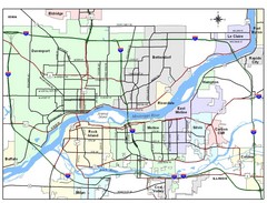
Quad City Region Map
Regional map of Quad City region, which includes Davenport, Iowa and Rock Island, Illinois.
375 miles away

Quad Cities Map
Primary street map of Quad Cities region
376 miles away
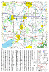
Jefferson County, Wisconsin Map
Map of Jefferson County, includes detailed information on streets, highways, recreational...
377 miles away
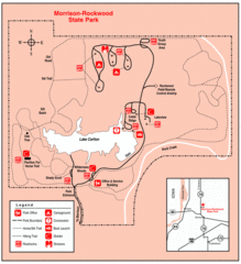
Morrison-Rockwood State Park, Illinois Site Map
377 miles away

Rock Island State Park, Illinois Site Map
377 miles away
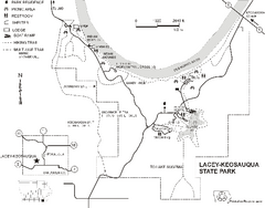
Lacey-Keosauqua State Park Map
Map of trails, indian mounds, lake depths and park facilities for Lacey-Keosauqua State Park.
377 miles away
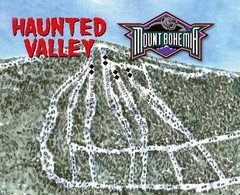
Mount Bohemia Haunted Valley Ski Trail Map
Trail map from Mount Bohemia.
380 miles away
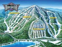
Mount Bohemia Frontside Ski Trail Map
Trail map from Mount Bohemia.
380 miles away
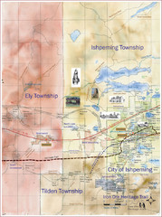
Ishpeming Trail Map
Trail and road map for Ishpeming and surrounding area
383 miles away
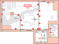
Green River, Illinois Site Map
383 miles away
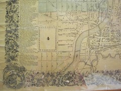
Beloit City Map
City map of Beloit, Wisconsin SW from 1858
384 miles away
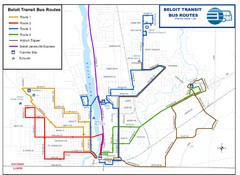
Beloit Bus Routes Map
384 miles away

Niagara Peninsula Map
386 miles away
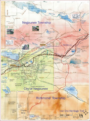
Negaunee Trail Map
Trail and street map of Negaunee are
386 miles away
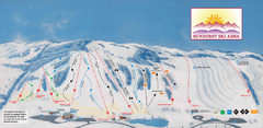
Sunburst Ski Area Ski Trail Map
Trail map from Sunburst Ski Area.
386 miles away
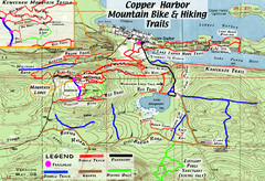
Copper Harbor Trail Map
Guide to mountain bike and hiking trails of Copper Harbor
387 miles away
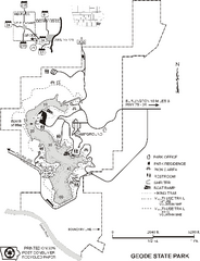
Geode State Park Map
Map of trails, lake depths and park facilities for Geode State Park.
387 miles away
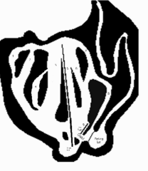
Minnedosa Ski Valley Ski Trail Map
Trail map from Minnedosa Ski Valley, which provides downhill skiing. This ski area has its own...
388 miles away

Little Switzerland Back Ski Trail Map
Trail map from Little Switzerland.
388 miles away
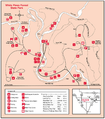
White Pines Forest, Illinois Site Map
389 miles away
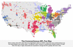
NFL Fan Bases Map
Shows US fan bases of NFL teams
390 miles away

Shimek State Forest Horse Trail Map
Map of Horse Trail Sytem within Shimek State Forest.
390 miles away
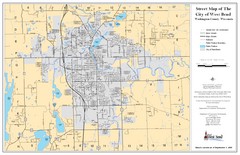
West Bend Street Map
Street map of city of West Bend, Wisconsin.
390 miles away
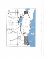
Eastern Wisconsin Map
391 miles away

Ontario Regional Trail Committee Boundaries Map
Sources: TCT, DMTI Spatial., MNR Projection: UTM, NAD83. Produced by the TCT in Montreal, October...
391 miles away

Shimek State Forest Hiking Trail Map
Map of hiking trails in Shimek State Forest.
391 miles away
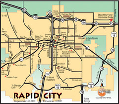
Rapid City, South Dakota City Map
392 miles away
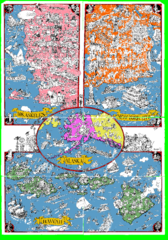
A MAD Pictorial Map of the United States - Back...
I found these raw assembled scans in a dieing torrent in 2010. Hash code...
392 miles away
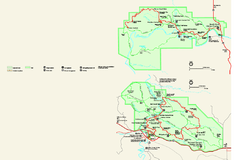
Theodore Roosevelt National Park Official Park Map
Official NPS map of Theodore Roosevelt National Park in North Dakota. Map shows both North and...
392 miles away
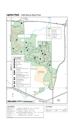
Lapham Peak Map
Ranger residence, hike path, restrooms and more are clearly marked upon this map.
392 miles away
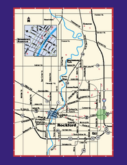
Rockford, Illinois Map
Tourist map of Rockford, Illinois. Museums, parks, hotels and other points of interest are shown.
392 miles away
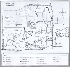
Rock Cut State Park, Illinois Site Map
392 miles away

Rock Cut State Park Map
Trail map of Rock Cut State Park in Winnebago County, Illinois.
393 miles away

