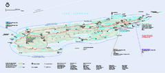
Isle Royale National Park Official Park Map
Official NPS map of Isle Royale National Park in Michigan. Isle Royale National Park is one of...
350 miles away
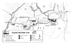
Capitol City State Trail Map
350 miles away
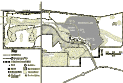
Browntown-Cadiz Springs State Recreation Area Map
Detailed map containing locations on shelters, parks, trails, and toilets.
351 miles away
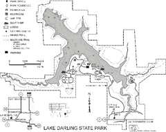
Lake Darling State Park Map
Map of hiking, biking and skiing trails, lake depths and park facilities for Lake Darling State...
351 miles away
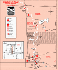
Middle Fork River Park, Illinois Site Map
352 miles away
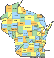
Wisconsin Counties Map
352 miles away
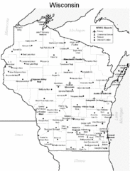
Wisconsin Airports Map
352 miles away
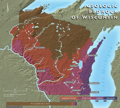
Wisconsin Geologic Bedrock Map
Relief map of geologic bedrock in Wisconsin with cities labeled
352 miles away
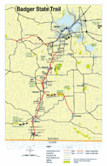
Badger State Trail Map
One of Wisconsin's best trails.
352 miles away
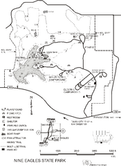
Nine Eagles State Park Map
Map of trails, lake depth and park facilities in Nine Eagles State Park.
353 miles away
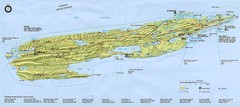
Isle Royale National Park Map
355 miles away
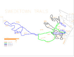
Swedetown Nordic Trail Map
Trail map of nordic ski trails in Swedetown, Michigan
356 miles away
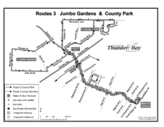
Thunder Bay Transit Map
A proposal to Thunder Bay transit to replace their actual map design for bus routes which are not...
356 miles away
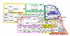
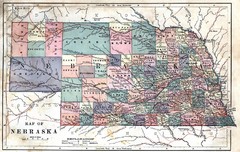
Nebraska Regions Map
356 miles away
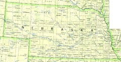
Nebraska Counties and Rivers Map
356 miles away
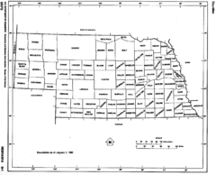
Nebraska Counties Map
356 miles away
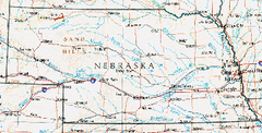
Nebraska Atlas Reference Map
356 miles away
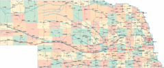
Nebraska Road Map
356 miles away
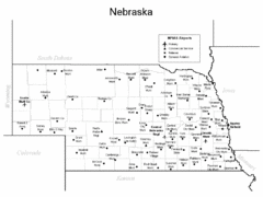
Nebraska Airports Map
356 miles away
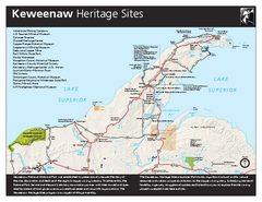
Keweenaw National Historical Park Official Map
Official NPS map of Keweenaw National Historical Park in Michigan. Map shows all areas. Park...
357 miles away
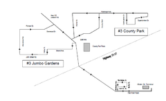
Thunder Bay Transit Map
This is the original map of Thunder Bay Bus Route 3. See my proposal for an improved design.
358 miles away
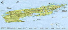
Isle Royale National Park Map
Park map of Isle Royal National Park. Scanned.
358 miles away
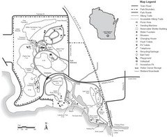
Lake Kegonsa State Park Map
Ball fields, drinking fountains, trails, and more easily guide you around this beautiful park.
358 miles away
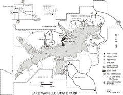
Lake Wapello State Park Map
Map of trails, lake depths and fishing spots at Lake Wapello State Park.
359 miles away

Downtown Appleton Map
359 miles away
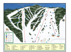
Pine Mountain Resort Ski Trail Map
Trail map from Pine Mountain Resort.
359 miles away
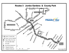
Thunder Bay Transit Map
I made this map after desperately trying to find out how to arrive at my daughters violin class...
359 miles away
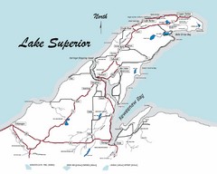
Keweenaw Peninsula Map
Map of the Keweenaw Peninsula, Michigan
361 miles away
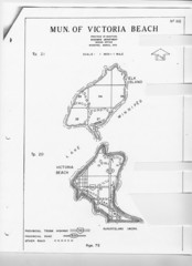
Victoria Beach and Elk Island Map
363 miles away

Wildcat Den State Park Map
Map of trails and facilities at Wildcat Den State Park.
365 miles away

Mount Baldy Ski Trail Map
Trail map from Mount Baldy, which provides downhill skiing. This ski area has its own website.
365 miles away
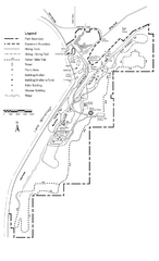
High Cliff Park Map
High quality map with easy to read trails and routes.
367 miles away
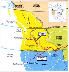
Oregon Treaty Historical map
368 miles away
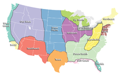
Regions of the United States Map
Appalachia- Hills, hills and more hills. Appalachian landforms contribute to landscapes of...
369 miles away
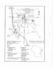
Fon Du Lac, Wisconsin Map
369 miles away
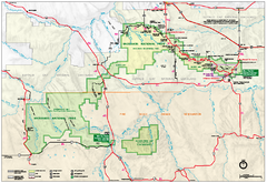
Official Badlands National Park Map
Official NPS map of Badlands National Park in South Dakota. The map shows all area's including...
370 miles away
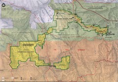
Badlands National Park Map
370 miles away
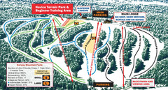
Norway Mountain Ski Trail Map
Trail map from Norway Mountain.
370 miles away

