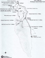
Antelope Island State Park Map
Antelope Island State Park, the largest island in the Great Salt Lake, is home to a roaming herd of...
163 miles away
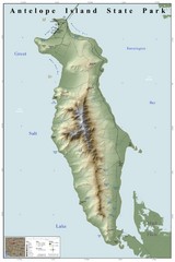
Antelope Island State Park Map
Shaded relief map of Antelope Island State Park, Utah. Shows facilities, peaks, and springs...
164 miles away
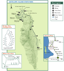
Antelope Island State Park Map
Trail map of Antelope Island State Park in the Great Salt Lake, Utah. Shows campgrounds.
165 miles away
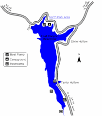
East Canyon State Park Map
East Canyon State Park is a 680-acre boating and year-round fishing delight nestled in the...
165 miles away

Bonneville Salt Flats International Speedway Map
166 miles away

Mirror Lake Highway Map
166 miles away
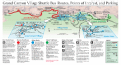
Grand Canyon Shuttle Bus Map
Guide to shuttle bus routes, points of interest and parking in Grand Canyon National Park
167 miles away
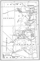
1914 Grand Canyon & Colorado River Map
Historic map of the Colorado River, from Wyoming to Mexico
168 miles away
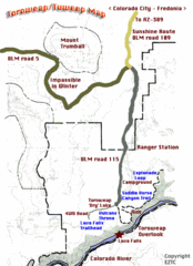
Toroweap Park Map
169 miles away
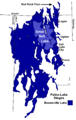
Lake Bonneville Levels Map
170 miles away
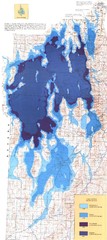
Ancient Lake Bonneville Map
170 miles away
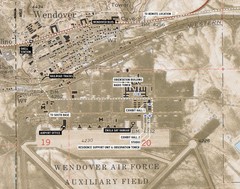
Wendover Air Base Map
174 miles away
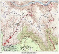
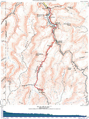
Grand Canyon Hiking Trail Map
Topo map of the Grand Canyon with a loop hike down the South Kaibab Trail and up Bright Angel Trail...
174 miles away
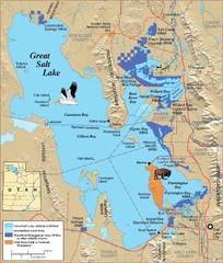
Great Salt Lake Map
174 miles away
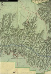
Grand Canyon National Park Map
174 miles away
Grand Canyon Havasupai Campground Map
The Grand Canyon Havasupai Campground Map
174 miles away
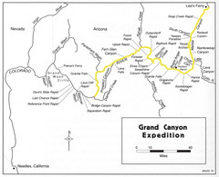
Grand Canyon River Expedition Map
Guide to the Colorado River, rapids and washes
175 miles away
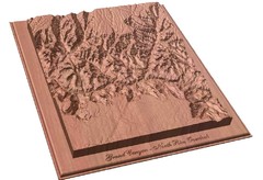
North Rim of the Grand Canyon carved by...
Grand Canyon carved by CarvedMaps.com. They specialize in hard wood carved maps of anywhere within...
176 miles away
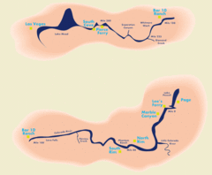
Grand Canyon River Rafting Map
Guide to the Colorado River, Grand Canyon river rafting
177 miles away
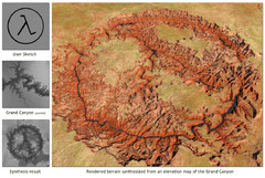
Rendered Terrain of the Grand Canyon Map
Created from Digital Elevation Models
177 miles away
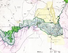
Grand Canyon Map
Guide to the Grand Canyon National Park
178 miles away
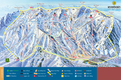
Snowbasin Mountain Trail Map
Ski trail map of Snowbasin Mountain
181 miles away
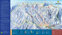
Snowbasin Ski Trail Map
Official ski trail map of ski area from the 2007-2008 season.
183 miles away

Snowbasin Nordic Trail Map
Nordic trail map of Snowbasin resort, Utah
184 miles away
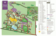
Weber State University Map
Weber State University Campus Map. All buildings shown.
184 miles away
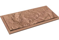
Gateway, Colorado carved by CarvedMaps.com Map
CarvedMaps.com carved this beautiful wood map of the Gateway area in SW Colorado. This company...
185 miles away
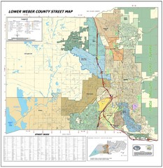
Lower Weber County Street Map
Street map for area around Ogden, UT
186 miles away
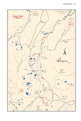
Kings Peak Trail Map
Trail map of route to Kings Peak, highest mountain in Utah at 13,528 ft. Route is around 30 miles...
188 miles away
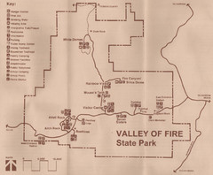
Valley of Fire State Park Map
Scanned from park brochure
189 miles away

Wolf Mountain Ski Trail Map
Trail map from Wolf Mountain.
190 miles away

Hopi Reservation Map
Hopi Reservation locations in Arizona
192 miles away

Utah mountain resorts Map
192 miles away
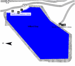
Willard Bay State Park Map
Boat, swim, waterski, and fish on the warm waters of Willard Bay. Camp under tall cottonwood trees...
192 miles away
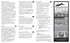
Highline Lake State Park Map
Map of park with detail of recreation areas
194 miles away
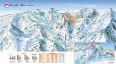
Powder Mountain Ski Trail Map
Official ski trail map of Powder Mountain ski area from the 2007-2008 season.
196 miles away
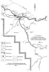
Capitol Reef Trail Map
Hiking trails near Fruita, Colorado
198 miles away
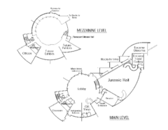
Utah Field House of Natural History Map
So much time is revealed here, even more geologic time than in the Grand Canyon. Within an 80-mile...
198 miles away
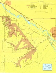
Colorado National Monument Map
Map of Colorado National Monument and surrounding areas.
199 miles away
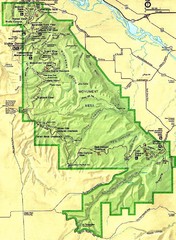
Colorado National Monument Map
200 miles away


