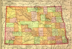
North Dakota Map
329 miles away
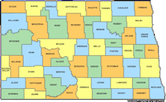
North Dakota Counties Map
329 miles away
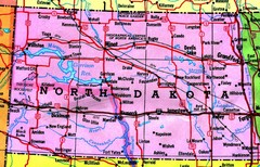
North Dakota Tourist Map
329 miles away
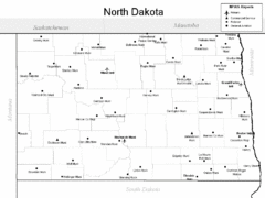
North Dakota Airport Map
329 miles away
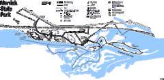
Merrick State Park Map
Beautiful hikes around the waterfront.
329 miles away
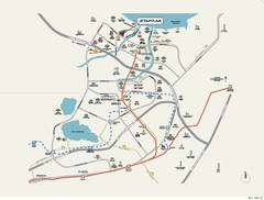
Stratum Condominium in Singapore Map
Stratum Condominium in Singapore offers great units and facilities to all their clients. With high...
330 miles away

Bruce Mound Ski Area Ski Trail Map
Trail map from Bruce Mound Ski Area.
330 miles away
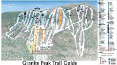
Granite Peak Ski Trail Map
Official ski trail map of Granite Peak ski area from the 2004-2005 season.
330 miles away

Granite Peak Ski Trail Map
Trail map from Granite Peak.
330 miles away
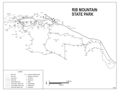
Rib Mountain State Park Map
Simple state park map with nice hiking trails.
331 miles away
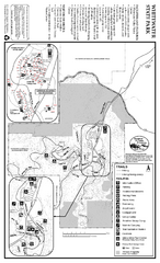
Whitewater State Park Map
map of park with detail of trails and recreation zones
332 miles away
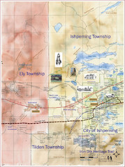
Ishpeming Trail Map
Trail and road map for Ishpeming and surrounding area
334 miles away
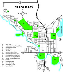
Windom City Parks Map
334 miles away
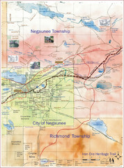
Negaunee Trail Map
Trail and street map of Negaunee are
336 miles away
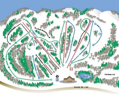
Huff Hills Ski Trail Map
Trail map from Huff Hills.
340 miles away

North America Climate Zones Map
341 miles away
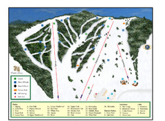
Pine Mountain Resort Ski Trail Map
Trail map from Pine Mountain Resort.
341 miles away
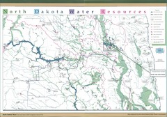
North Dakota Water Resources Map
North Dakota Counties, Rivers and Lakes Map
342 miles away
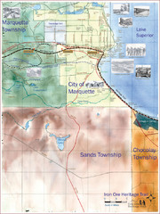
Marquette Trail Map
Trail and road map of Marquette and surrounding area
343 miles away
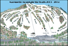
Marquette Mountain Ski Trail Map
Trail map from Marquette Mountain.
343 miles away
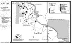
Kilen Woods State Park Summer Map
Summer seasonal map of park with detail of trails and recreation zones
343 miles away
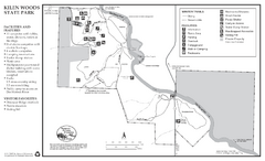
Kilen Woods State Park Winter Map
Winter seasonal map of park with detail of trails and recreation zones
343 miles away
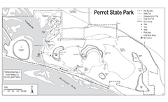
Perrot State Park Map
Have a wonderful vacation hiking through this natural setting.
344 miles away
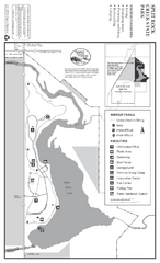
Split Rock Creek State Park Winter Map
Winter seasonal map of park with detail of trails and recreation zones
346 miles away
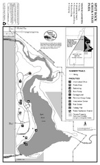
Split Rock Creek State Park Summer Map
Summer seasonal map of park with detail of trails and recreation zones
346 miles away
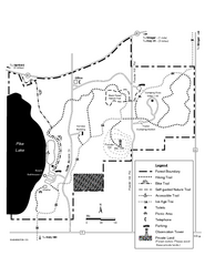
Pike Lake Map
Detailed trail map of area surrounding Pike Lake.
346 miles away
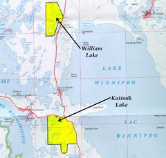
Lake Winnipeg Map
Lake Winnipeg and the land surrounding it.
348 miles away
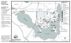
Myre-Big Island State Park Summer Map
Summer seasonal map of park with detail of trails and recreation zones
348 miles away
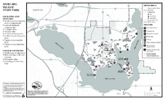
Myre-Big Island State Park Winter Map
Winter seasonal map of park with detail of trails and recreation zones
348 miles away
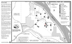
Great River Bluffs State Park Summer Map
Summer season map of park with detail of trails and recreation zones
349 miles away
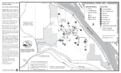
Great River Bluffs State Park Winter Map
Winter season map of park with detail of trails and recreation zones
349 miles away
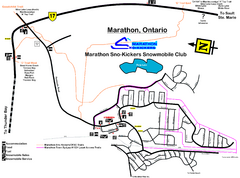
Marathon Trail Map
Map of Marathon with detail on snowmobile trails
351 miles away
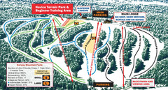
Norway Mountain Ski Trail Map
Trail map from Norway Mountain.
352 miles away
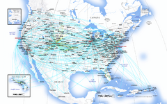
United Airlines North America Route Map
352 miles away
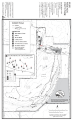
Blue Mounds State Park Map
Map of park with detail of trails and recreation zones
356 miles away
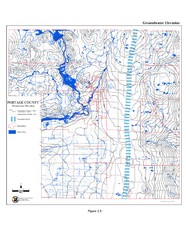
Groundwater Elevation of Portage County Map
Using the water table elevation map, generalized groundwater flow directions can be estimated.
357 miles away
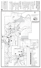
Forestville/Mystery Cave State Park Map
Map of park with detail of trails and recreation zones
358 miles away
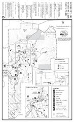
Forestville/Mystery Cave State Park Winter Map
Winter map of park with detail of trails and recreation zones
358 miles away
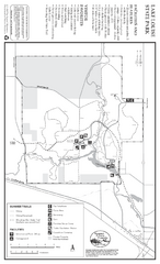
Lake Louise State Park Map
Map of park with detail of trails and recreation zones
361 miles away

