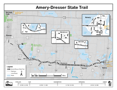
Ammery Dresser Trail Map
Easy to follow trail map.
258 miles away
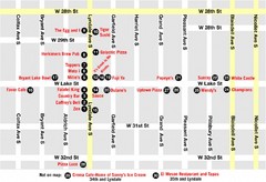
Lyn Lake-Minneapolis Restaurant Map
258 miles away
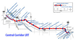
Central Corridor Light Rail in Twin Cities Region...
New Light Rail in Twin Cities Region
258 miles away

Willow River State Park Map
Easily read map with detailed markings.
259 miles away
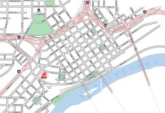
St. Paul, Minnesota City Map
260 miles away
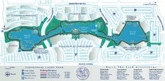
Centennial Lakes Park Map
264 miles away
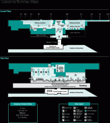
Minneapolis-St. Paul International Airport...
Official Map of Minneapolis-St. Paul International Airport. Shows Humphrey Terminal.
264 miles away
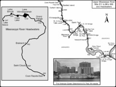
Upper Mississippi River Mile 811 to Mile 1347 Map
Historical Map from book "Mississippi River-Historical Sites and Interesting Places
264 miles away
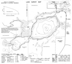
Fireside Lake Survey Map
Survey of Lake and surrounding areas done by State of Wisconsin Department of Natural Resources
264 miles away
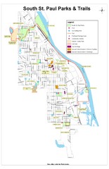
South St. Paul Parks and Trails Map
Park and trail map of South St. Paul, Minnesota.
264 miles away
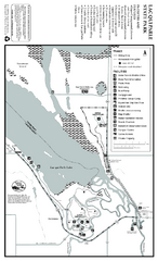
Lac Qui Parle State Park Map
Map of park with detail of trails and recreation zones
265 miles away
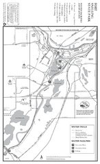
Fort Snelling State Park Winter Map
Winter map of park with detail of trails and recreation zones
265 miles away
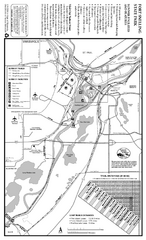
Fort Snelling State Park Summer Map
Summer map of park with detail of trails and recreation zones
265 miles away
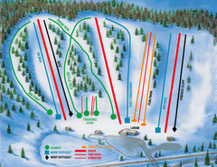
Hyland Ski and Snowboard Area Ski Trail Map
Trail map from Hyland Ski and Snowboard Area, which provides downhill, night, and terrain park...
265 miles away
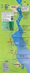
Nipigon River Recreational Trail Map
Map of the river trail between Red Rock and Nipigon.
266 miles away
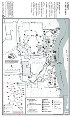
Afton State Park Winter Map
Map of park with detail of trails and recreation zones
269 miles away
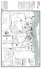
Afton State Park Summer Map
Map of park with detail of trails and recreation zones
269 miles away

Afton Alps Ski Area Ski Trail Map
Trail map from Afton Alps Ski Area, which provides downhill, night, and terrain park skiing. It has...
269 miles away
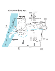
Kinnickinnic State Park Map
Map detailing hiking routes and stops along the way.
271 miles away
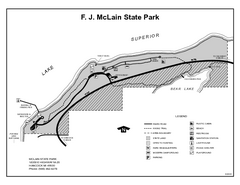
McLain State Park, Michigan Site Map
271 miles away

Buck Hill Ski Area Ski Trail Map
Trail map from Buck Hill Ski Area, which provides downhill, night, and terrain park skiing. It has...
274 miles away
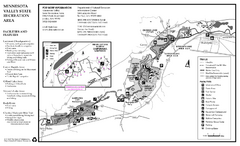
Minnesota Valley State Recreation Area Map
Map of recreation area with detail of trails and recreation zones
276 miles away
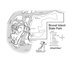
Brunet Island State Park Map
Easy to read legend.
276 miles away
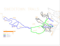
Swedetown Nordic Trail Map
Trail map of nordic ski trails in Swedetown, Michigan
277 miles away
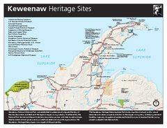
Keweenaw National Historical Park Official Map
Official NPS map of Keweenaw National Historical Park in Michigan. Map shows all areas. Park...
278 miles away
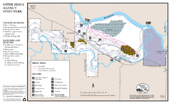
Upper Sioux Agency State Park Winter Map
Winter seasonal map of park with detail of trails and recreation zone
278 miles away
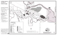
Upper Sioux Agency State Park Summer Map
Summer seasonal map of park with detail of trails and recreation zones
278 miles away
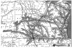
Chicago & North Western Line Railroad System...
C&NW map circa 1909
280 miles away
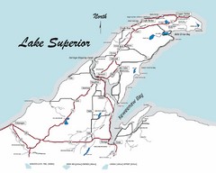
Keweenaw Peninsula Map
Map of the Keweenaw Peninsula, Michigan
282 miles away
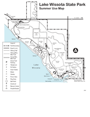
Lake Wissota State Park Map
Easy hiking along the beautiful water front.
285 miles away
Minnedosa Ski Valley Ski Trail Map
Trail map from Minnedosa Ski Valley, which provides downhill skiing. This ski area has its own...
286 miles away

Chippewa Valley Trail System Map
Multiple trails and hiking routes in the Chippewa Valley.
289 miles away

Welch Village Ski Area Ski Trail Map
Trail map from Welch Village Ski Area, which provides downhill, night, and terrain park skiing. It...
290 miles away
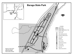
Baraga State Park, Michigan Site Map
290 miles away
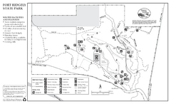
Fort Ridgely State Park Winter Map
Winter map of park with detail of trails and recreation zones
292 miles away
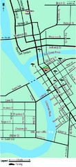
Downtown Eau Claire Eateries Map
Make sure you set aside the whole day and visit the numerous shops in Eau Claire's Downtown...
292 miles away
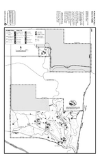
Fort Ridgely State Park Summer Map
Summer map of park with detail of trails and recreation zones
292 miles away

St. Olaf College Map
Campus map of St. Olaf College
292 miles away

