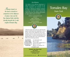
Tomales Bay State Park Map
Map of park with detail of trails and recreation zones
0 miles away
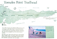
Tomales Point Trail Map
Map of the trail to Tomales Point in Point Reyes National Seashore, California. Also shows trail...
3 miles away
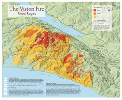
Point Reyes Vision Fire Map
Map of the burn intensity of the 1995 Vision Fire in Point Reyes National Seashore.
8 miles away
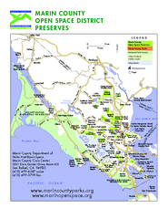
Marin Open Space Preserves Map
Shows all Open Space Preserves in Marin County, CA.
10 miles away
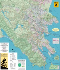
Marin, California Bike Map
10 miles away
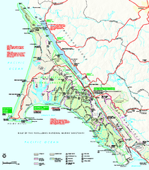
Point Reyes National Seashore Map
Official NPS map of Point Reyes National Seashore in Marin County, California. Shows trails, roads...
11 miles away
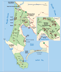
Bodega Bay Park Map
Park map of the Sonoma Coast State Beach park lands in Bodega Bay, California. Shows roads, trails...
13 miles away
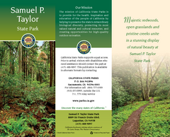
Samuel P. Taylor State Park Map
Map of park with detail of trails and recreation zones
13 miles away

Sebastopol Map
Map of Sebastopol and surrounding towns.
15 miles away
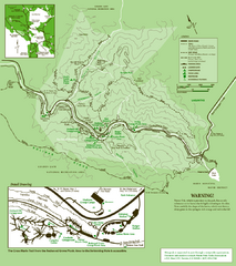
Samuel Taylor State Park Trail Map
Trail map of Samuel Taylor State Park near Lagunitas, CA.
15 miles away
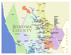
Wineries in Sonoma County, California Map
Map of winery locations in Sonoma County, California. Shows wineries, tasting rooms, and valleys of...
15 miles away
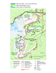
Indian Tree, Little Mountain, and Verissimo Hills...
16 miles away
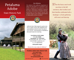
Petaluma Adobe State Historic Park Map
Map of park with detail of trails and recreation zones
17 miles away

Mt. Burdell Open Space Preserve Map
Trail map of Mt. Burdell Open Space Preserve and Olompali State Historic Park in Novato, Marin...
18 miles away
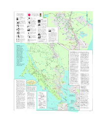
Marin Bicycle Map - Side B
Bike route map of Marin County, California. Shows primary and secondary road routes, paved and...
18 miles away
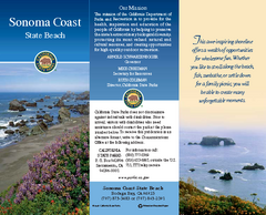
Sonoma Coast State Beach Map
Map of beach and park with detail of trails and recreation zones
19 miles away
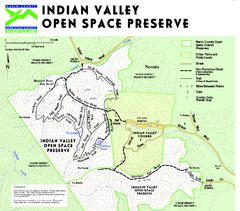
Indian Valley Open Space Preserve Map
19 miles away
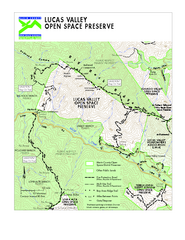
Lucas Valley Open Space Preserve Map
19 miles away
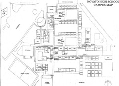
Novato High School Campus Map
20 miles away
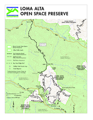
Loma Alta Preserve Map
Topographical trail map of Loma Alta Preserve in Marin County, California
20 miles away
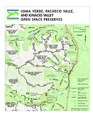
Loma Verde, Pacheco Valley, Lucas Valley and...
21 miles away
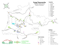
Tamarancho Map
21 miles away
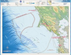
Cordell Bank National Marine Sanctuary Map
Topo and bathymetric map of the Cordell Bank National Marine Sanctuary, located 60 miles northwest...
21 miles away
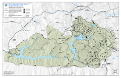
Mt. Tamalpais Watershed Trail Map
Shows roads and trails in the 18,500 Mt. Tamalpais Watershed near Fairfax, California.
21 miles away

Southern Golden Gate National Recreation Map
22 miles away
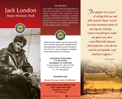
Jack London State Historic Park Map
Map of park with detail of trails and recreation zones
23 miles away
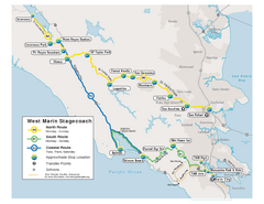
West Marin Bus Map
Bus route map of West Marin Stagecoach. Shows routes to Inverness, Point Reyes Station, Olema...
24 miles away
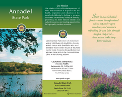
Annadel State Park Map
Map of park with detail of trails and recreation zones
24 miles away

Santa Margarita Island, Santa Venetia Marsh, and...
Park map of Santa Margarita Island Open Space Preserve, Santa Venetia Marsh Open Space Preserve...
25 miles away
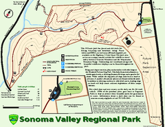
Sonoma Valley Regional Park Map
Trail map of 202 acre Sonoma Valley Regional Park.
25 miles away
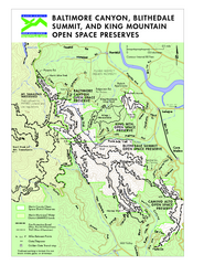
Blithedale Summit Open Space Preserve Map
Trail map of Blithedale Summit Open Space Preserve, Baltimore Canyon Open Space Preserve, and King...
25 miles away
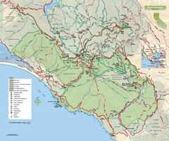
Mount Tamalpais State Park Map
Topographic trail map of Mt Tamalpais State Park in Marin County, California.
25 miles away
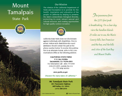
Mount Tamalpais State Park Map
Map of park with detail of trails and recreation zones
26 miles away
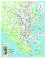
Marin Bicycle Map - Side A
Bike route map of Marin County, California. Shows primary and secondary road routes, paved and...
26 miles away
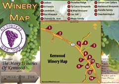
Kenwood Wine Tasting Map
26 miles away
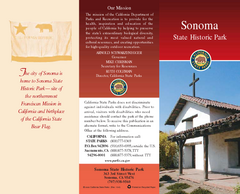
Sonoma State Historic Park Map
Map of park with detail of trails and recreation zones
26 miles away
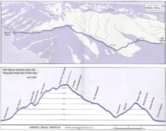
Dipsea Race Course Map
Course map of the annual Dipsea Trail Run Race. Shows birds-eye view and elevation profile of the...
26 miles away
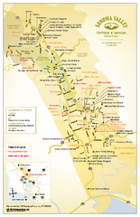
Sonoma Valley Winery Map
High quality map of Sonoma Valley wineries from the vinters and growers. Shows all key roads and...
26 miles away
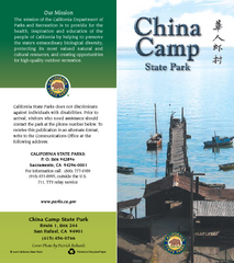
China Camp State Park Map
Map of park with detail of trails and recreation zones
26 miles away
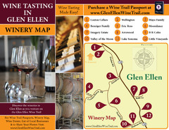
Glen Ellen Wine Tasting Map
26 miles away

