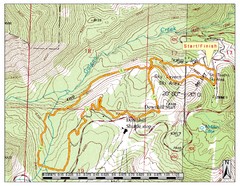
Sky Tavern XC Route Map
Topo map of the XC course for the cycling event.
232 miles away

Reno Tahoe Tourist Map
232 miles away

Reno, Nevada City Map
232 miles away
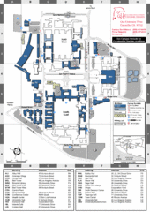
California State University Channel Islands Map
Campus Map
233 miles away
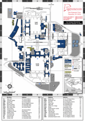
California State University Channel Islands...
Campus map of California State University Channel Islands (CSUCI).
233 miles away
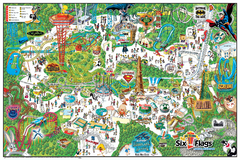
Six Flags Magic Mountain Theme Park Map
Official park map of Six Flags Magic Mountain, California.
239 miles away
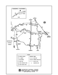
Mendocino National Forest map
Map of the Nome Cult Trail Walk in the Mendocino National Forest.
239 miles away
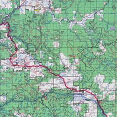
Lassen National Park Map
Forest Visitor Map showing locations of most camping and recreational areas in the eastern part of...
241 miles away
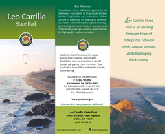
Leo Carrillo State Park Map
Map of park with detail of trails and recreation zones
242 miles away
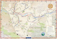
Santa Clarita Trail Map
243 miles away
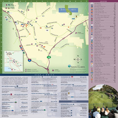
Santa Clarita Tourist Map
Tourist map of Santa Clarita, California
243 miles away
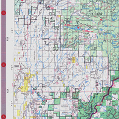
Lassen National Park Map
Visitor Map that shows most of Lassen National Forest with locations of camp grounds and...
243 miles away
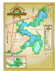
Lahontan State Recreation Area Map
Overview map of Lahontan State Recreation Area. Shows Lahontan Reservoir formed by Lahontan Dam...
244 miles away
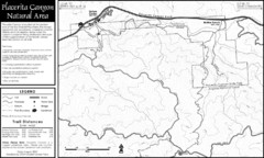
Placerita Canyon Trail Map
244 miles away
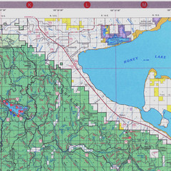
Lassen National Park Map
Forest Visitor Map of the farthest east of the park, shows all camping and recreational areas and...
245 miles away
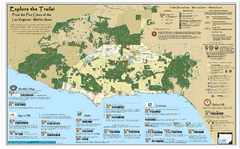
Santa Monica Mountains Area Trail map
Trail map of the Santa Monica Mountains National Recreation Area. Highlights information about...
246 miles away
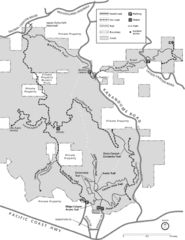
Zuma Trancas Canyon Map
Trail map of Zuma Canyon and Trancas Canyon near Malibu, CA in the Santa Monica Mountains. End of...
247 miles away
Antelope Valley State Park Map
Map of park with detail of of trails and recreation zones
249 miles away
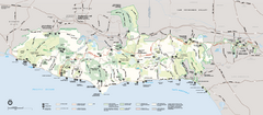
Santa Monica Mountains National Recreation Area...
Map of the entire Santa Monica Mountains National Recreation Area
249 miles away
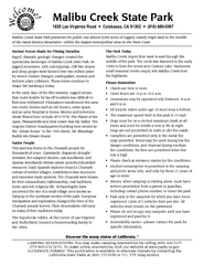
Malibu Creek State Park Campground Map
Map of campground region of park with detail of trails and recreation zones
249 miles away

William B. Ide Adobe State Historic Park Map
Map of park with detail of trails and recreation zones
249 miles away
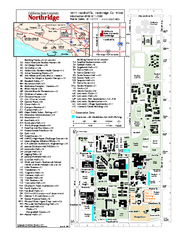
California State University at Northridge Map
Campus Map of the California State University at Northridge. All buildings shown.
250 miles away
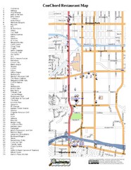
Woodland Hills, California Restaurant Map
250 miles away
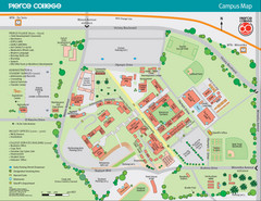
Pierce College Campus Map
Pierce College Campus Map. Located in Woodland Hills, California. Shows all areas.
251 miles away
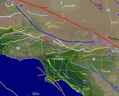
Southern California Fault Lines Map
The red line on this map of southern California is the San Andreas fault. Other lines represent...
254 miles away
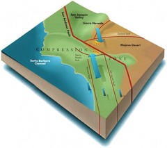
Southern California Compressional Fold Belts Map
Diagram of southern California showing the San Andreas Fault as a master player in a tectonic...
254 miles away
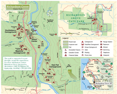
Richardson Grove State Park Map
Park map of Richardson Grove State Park, California. Shows trails, campgrounds, and other...
258 miles away
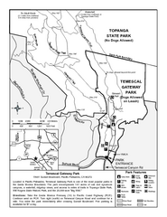
Temescal Canyon Trail Map
Trail map of Temescal Gateway Park, Temescal Canyon, and adjoining section of Topanga State Park...
259 miles away
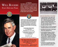
Will Rogers State Historic Park Map
Map of park with detail of trails and recreation zones
260 miles away
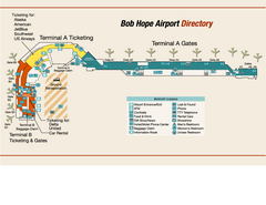
Burbank "Bob Hope" Airport Terminal Map
Official Terminal Map of Bob Hope Airport in Burbank, California. Shows all areas.
260 miles away
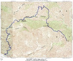
Ybarra Canyon Trail Map
Ybarra Canyon in the Angeles National Forest.
260 miles away
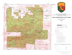
Latour State Forest Map
Countour map of the Latour Demonstration Forest.
261 miles away

Ronald Reagan ULCA Medical Center Building Map
Pocket map to the medical center campus
262 miles away

Ronald Reagan ULCA Medical Center Map
Pocket Map to the medical center campus
262 miles away
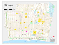
Santa Monica City Map
City map of Santa Monica, California
262 miles away
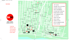
Design District, Santa Monica, California Map
Map of modern design showrooms in downtown Santa Monica, California.
262 miles away
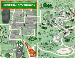
1966 Universal Studios Guide Map
263 miles away
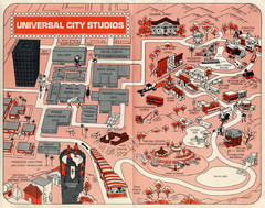
1968 Universal Studios Guide Map
A 1968tour guide map of Universal Studios
263 miles away
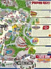
Universal Studios in Hollywood Tourist Map
Features and landmarks at Universal Studios in Hollywood, CA
263 miles away
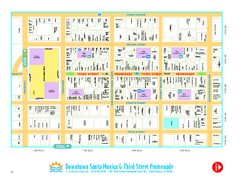
Downtown Santa Monica walking map
Detailed tourist map of Downtown Santa Monica and the Third Street Promenade in Los Angeles...
263 miles away

