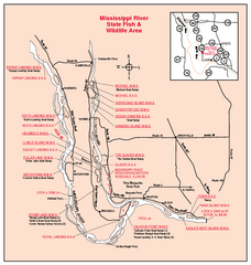
Mississippi River, Illinois Site Map
622 miles away
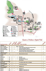
City of Festus Parks Map
623 miles away
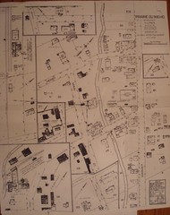
Prairie du Rocher City Map
Historical city map of Prairie du Rocher, Illinois
624 miles away
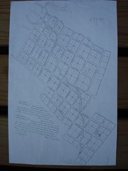
Prairie du Rocher City Map
Historical city map of Prairie du Rocher
625 miles away
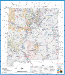
New Mexico Road Map
Detailed road map of state of New Mexico
626 miles away
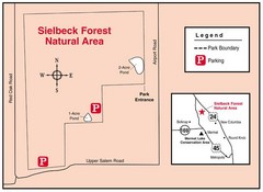
Sielbeck Forest, Illinois Site Map
626 miles away

Piney Creek Ravine, Illinois Site Map
628 miles away
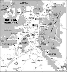
Surrounding Santa Fe, New Mexico Area Map
629 miles away
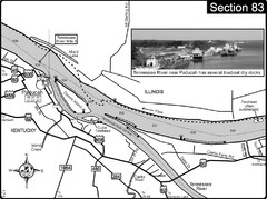
Ohio River & Tennessee River at Paducah, KY...
This is a page from the Ohio River Guidebook. The map shows important information for boaters and...
629 miles away
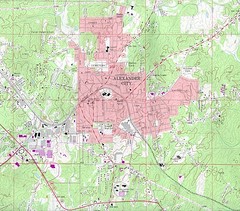
Alexander City Map
Topography city map of Alexander City, Alabama
630 miles away
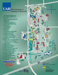
University of Alabama in Huntsville Map
Campus Map
630 miles away
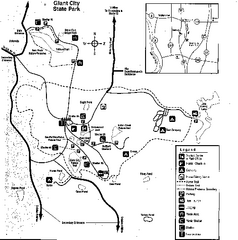
Giant City, Illinois Site Map
630 miles away
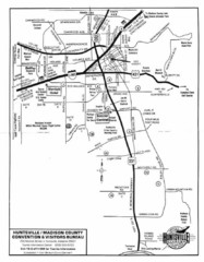
Huntsville City Map
City map of Huntsville, Alabama
631 miles away
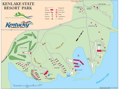
KenLake State Resort Park Map
Map of trails, facilities, and golf course for the KenLake State Resort Park located on the mid...
632 miles away
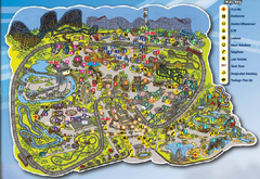
Six Flags St. Louis Map
Official Park Map of Six Flags St. Louis.
632 miles away
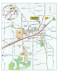
Huntsville, Alabama City Map
632 miles away
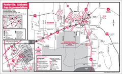
Huntsville Alabama Tourist Map
Map of Huntsville, Alabama showing hotels and streets for the downtown area.
632 miles away
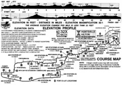
Rocket City Marathon Elevation Map
Course Map and Elevation Profile of the Rocket City Marathon in Huntsville, AL
632 miles away
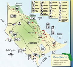
St. Andrews State Park Map
Overview map of St. Andrews State Park, #2 beach in America by TripAdvisor.com, 2008
632 miles away
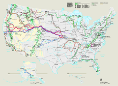
National Trails System Map
Map of all US National Scenic Trails and National Historic Trails. Shows all National Park System...
633 miles away
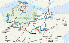
Fort Donelson National Battlefield Official Map
Official NPS map of Fort Donelson National Battlefield in Tennessee. Fort Donelson visitor center...
633 miles away

Hidden Valley Ski Trail Map
Official ski trail map of Hidden Valley ski area
633 miles away

Hidden Valley Ski Trail Map
Trail map from Hidden Valley.
633 miles away
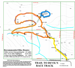
Wade Mountain Map
Recommended Bike Routes for Wade Mountain including the trail to Devil's Race Track
634 miles away

Randolph County State Park, Illinois Site Map
634 miles away
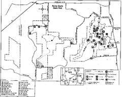
Ferne Clyffe State Park, Illinois Site Map
635 miles away
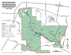
Map of Rockwoods Reservation, MO
Natural Area and hiking trails near St. Louis, MO.
635 miles away
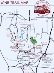
Shawnee Hills Wine Trail Map
Wineries in the Shawnee Hills area of Illinois.
636 miles away
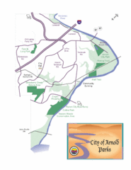
City of Arnold Parks Map
636 miles away
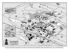
Southern Illinois University Carbondale Map
Campus Map of the Southern Illinois University Carbondale. All buildings shown.
636 miles away
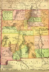
New Mexico 1895 Map
636 miles away
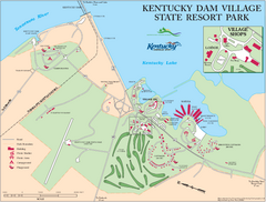
Kentucky Dam Village State Resort Park Map
Map of golf course and facilities for Kentucky Dam Village State Resort Park, one of three state...
636 miles away
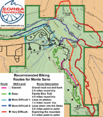
Monte Sano State Park Bike Routes Map
Recommended Biking Routes for Monte Santo with Easy to difficult routes marked.
637 miles away
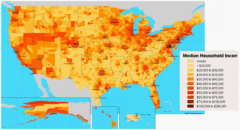
USA Income Map
States Income Inequality Map with color-coded key.
637 miles away
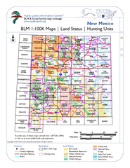
Index of BLM Maps for NM Hunting Units Map
This handy index shows the BLM surface management (land ownership) maps you need for all the...
638 miles away
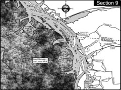
Lake Barkley-Cumberland River Map
Portion of Lake Barkley formed on the Cumberland River. In this section the state line is shown...
638 miles away
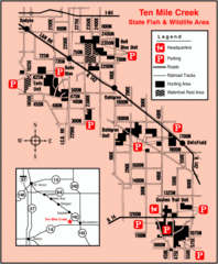
Ten Mile Creek State Wildlife Area, Illinois Site...
639 miles away
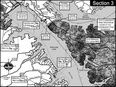
Kentucky Lake Tennesssee River-Land Between the...
This is the upper end of Kentucky Lake which is the Tennessee River. The map is designed for...
639 miles away
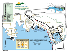
John Martin State Park Map
Map of park with detail of recreation zones
640 miles away
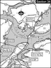
Guntersville, AL Tennessee River/Lake...
For boating navigational information and river road travel along the Tennessee River. This section...
640 miles away

