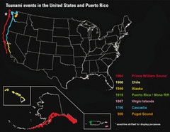
US Tsunami Events Map
Shows tsunami events in the US and Puerto Rico from 900 to 1964. Map not to scale. This map shows...
552 miles away
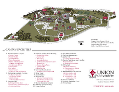
Union University Jackson Campus Map
Campus map of Union University in Jackson, Tennessee
555 miles away
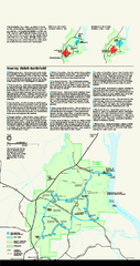
Shiloh National Military Park Official Park Map
Official NPS map of Shiloh National Military Park in Tennessee. The park is open every day except...
557 miles away
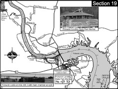
Pickwick Lake Tennessee River Map
For boating navigational information and river road travel along the Tennessee River. This map...
562 miles away
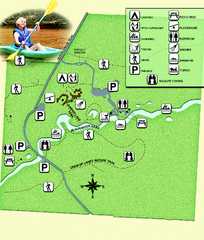
Blackwater River State Park Map
Map of park with detail of various recreation zones
562 miles away
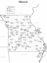
Missouri Airports Map
567 miles away
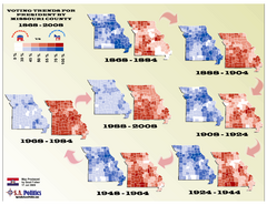
Voting Trends for President by Missouri County Map
567 miles away
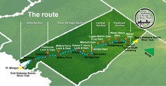
Alabama Scenic River Trail Map
631 miles of riverway. Starts in northeastern Alabama's mountains, flows through 9 lakes and...
567 miles away
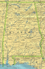
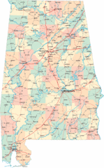
Alabama Map
County boundaries and names, county seats, rivers. Original scale 1:2,500,000 U.S. Geological...
567 miles away
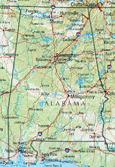
Alabama Reference Map
567 miles away
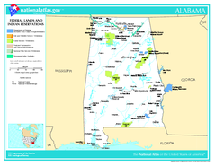
Alabama Federal Lands and Indian Reservations Map
567 miles away
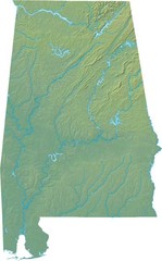
Alabama Relief Map
567 miles away
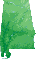
Alabama Topography Map
567 miles away
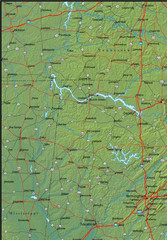
Alabama Area Map
567 miles away
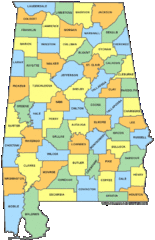
Alabama Counties Map
567 miles away
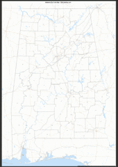
Alabama Zip Code Map
Check out this Zip code map and every other state and county zip code map zipcodeguy.com.
567 miles away
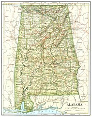
1891 Alabama Map
High quality 1891 Alabama map marking many cities and towns.
567 miles away
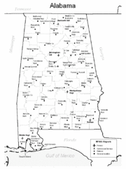
Alabama Aiports Map
567 miles away
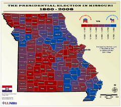
Political Leanings by Missouri County Map
574 miles away
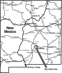
New Mexico Tourist Map
General outline of New Mexico
574 miles away
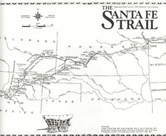
Santa Fe Trail Map
Historic map of the Santa Fe caravan trail
574 miles away
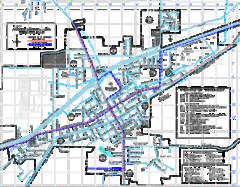
St James Street Map
Street map of St. James, Missouri. Shows points of interest.
575 miles away

Heritage Acres RV Park Map
Map of Heritage Acres RV Park in Tuscumbia, Alabama showing lots and roos. Rows are named after...
575 miles away
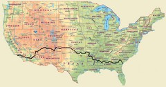
Cross Country Bike Route Map
A Map Of The Route taken by Lucas Hartman on his 6 week, 3,108.1 mile cross-country bike trip.
576 miles away
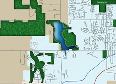
Southwest Olathe Map
Street map of southwest Olathe, Kansas. Shows green spaces.
576 miles away
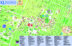
University of Kansas - Main Campus Map
University of Kansas - Main Campus Map. All areas shown.
577 miles away
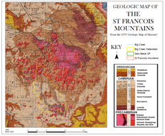
St. Francois Mountains Geologic Map
Map displaying the geology of the St. Francois Mountains in Missouri. Taken from the 1979 "...
578 miles away

University of Kansas Bus Route Map
578 miles away
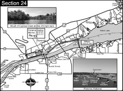
Florence, AL Tennessee River Map
For boating navigational information and river road travel along the Tennessee River. This map...
578 miles away
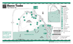
Hueco Tanks, Texas State Park Facility and Trail...
581 miles away

Clifton, TN Tennessee River Map
For boating navigational information and river road travel along the Tennessee River.
582 miles away
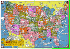
A MAD Pictorial Map of the United States - Front...
I found these raw assembled scans in a dieing torrent in 2010. Hash code...
583 miles away
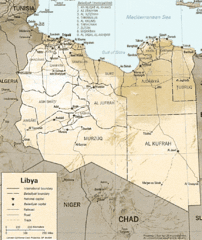
Lybia Map
Clear map and legend of this African Nation.
585 miles away
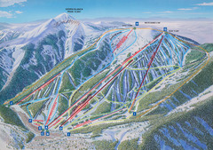
Ski Apache Ski Trail Map
Trail map from Ski Apache.
586 miles away
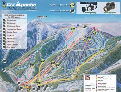
Ski Apache Ski Trail Map
Official ski trail map of Ski Apache ski area in New Mexico. Go to the site to view photos and...
587 miles away
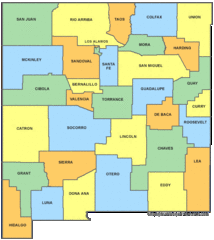
New Mexico Counties Map
588 miles away
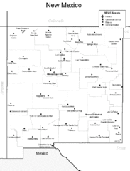
New Mexico Airports Map
588 miles away
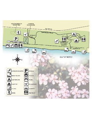
Henderson State Park Map
Map of park with detail of trails and recreation zones
589 miles away

