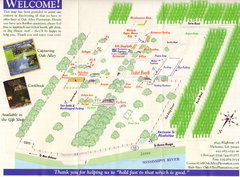
Oak Alley Plantation Map
Visitor's map of Oak Alley Plantation in Vacherie, Louisiana. Scan from old brochure.
334 miles away
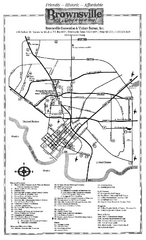
Brownsville Tourist Map
Tourist map of Brownsville with detail of local attractions
335 miles away
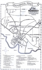
Brownsville Tourist Map
Tourist map of Brownsville, Texas. Shows points of interest.
336 miles away
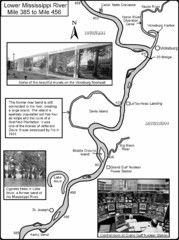
Lower Mississippi River Mile 385 to Mile 456 Map
Historical Map from book "Mississippi River-Historical Sites and Interesting Places
337 miles away
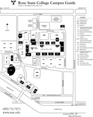
Rose State College Campus Map
Campus Guide to Rose State College, OK
338 miles away
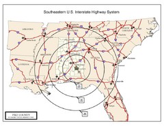
Southeastern U.S. Map
338 miles away
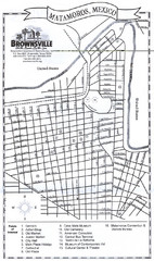
Matamoros Map
City map of Matamoros, Mexico.
338 miles away
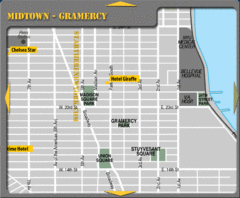
Gramercy Hotel Map
339 miles away
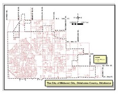
Midwest City Map
City map of Midwest City, Oklahoma
339 miles away
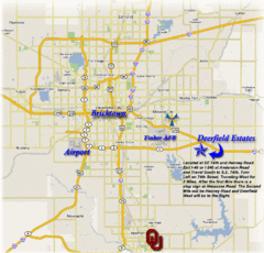
Oklahoma City, Oklahoma Tourist Map
340 miles away
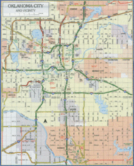
Oklahoma City, Oklahoma Tourist Map
340 miles away
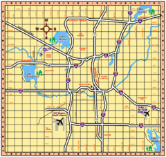
Oklahoma City, Oklahoma Tourist Map
340 miles away
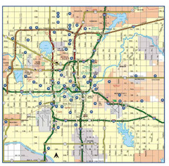
Oklahoma City, Oklahoma Tourist Map
340 miles away
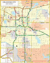
Oklahoma City, Oklahoma Tourist Map
340 miles away
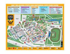
Oklahoma State Fair Park Map
Map of the Centennial Expo Park of the Oklahoma State Fair in The State Fair is spread out over...
341 miles away
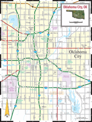
Oklahoma City, Oklahoma City Map
341 miles away
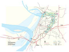
Vicksburg National Military Park Official Park Map
Official NPS map of Vicksburg National Military Park in Mississippi. Map shows all areas. Open...
344 miles away
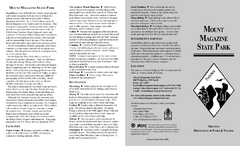
Mount Magazine State Park Map
Map of Mount Magazine State Park showing hiking trails and amenities.
349 miles away
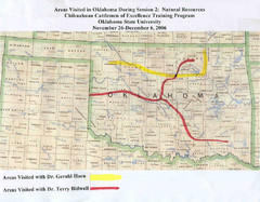
Oklahoma County Map
352 miles away
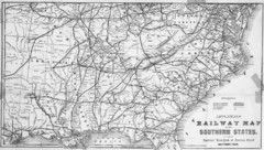
1865 Southern US States Railway Map
Guide to railroad travel in the southern United States
356 miles away
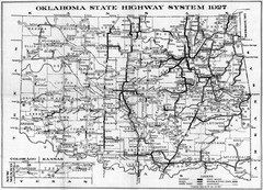
Oklahoma State Highway Map
Highway Map of Oklahoma State circa 1927. Includes all main roads and highways up to state...
360 miles away
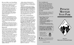
Pinnacle Mountain State Park Map
Map of the Pinnacle Mountain State Park including trails, park sites and amenities.
366 miles away
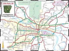
Little Rock, Arkansas City Map
367 miles away
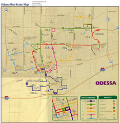
Odessa Bus Route Map
City of Odessa, Texas Bus Map with street level detail.
368 miles away
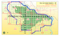
Little Rock City Map
City map of Little Rock, Arkansas with section designations
368 miles away
Lake Dardanelle State Park Map
Map of Lake Dardanelle State Park showing park sites, trails and amenities.
368 miles away

Mount Nebo State Park Trail Map
Trail Map of Mount Nebo State Park showing hiking trails and park amenities.
368 miles away
Lake Fort Smith State Park Map
Map of Lake Fort Smith State Park showing visitor center and park amenities.
369 miles away
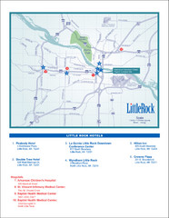
Little Rock Map
369 miles away
Cane Creek State Park Map
Cane Creek State Park Detail Map showing amenities, camp sites, and lake.
370 miles away
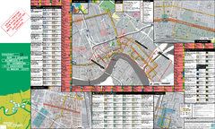
Prospect.1 New Orleans Biennial Art Map
Map of Prospect.1, the largest biennial of international contemporary art ever organized in the...
372 miles away
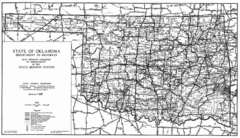
Oklahama Highway Map
Highway Map of Oklahoma State circa 1935. Includes all roads, towns, and detailed information on...
373 miles away
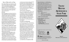
Toltec Mounds Archeological State Park Map
Map of the trails and earthworks sites of the Toltec Mounds Archeological State Park.
373 miles away
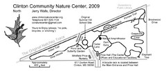
Clinton Community Nature Center Map
A relaxing walk through the Clinton Community Nature Center.
373 miles away
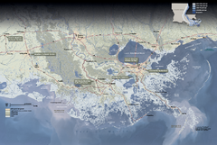
Jean Lafitte National Historical Park and...
Official NPS map of Jean Lafitte National Historical Park and Preserve in Louisiana. Map shows all...
373 miles away
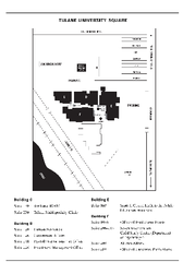
Uptown Square Map
373 miles away
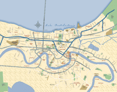
New Orleans Neighborhood Map
Overview map of city of New Orleans shows districts/neighborhoods and major streets.
373 miles away

