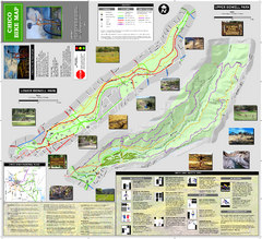
Upper and Lower Bidwell Park Bike Map
Bike map of Upper Bidwell Park and Lower Bidwell Park in Chico, California
86 miles away

Chico, California City Map
87 miles away
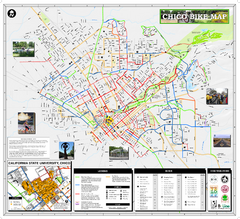
Chico Bike Map
Bicycle route map of Chico, California
88 miles away

Pacific Crest Trail Map
Shows entire route of 2,650 mile Pacific Crest Trail from Mexico to Canada.
88 miles away
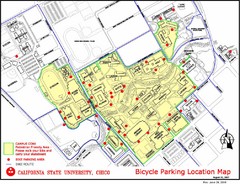
California State University, Chico Bike Parking...
Map that highlights all the available bike parking area and bike routes throughout the campus and...
89 miles away
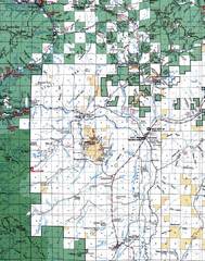
Clip07 Map
Visitor Maps of Klamath, central-western part of the park. Includes all roads, camp grounds...
92 miles away
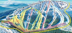
Mt. Ashland Ski Trail Map
Ski trail map of Mt. Ashland ski area near Ashland, Oregon
92 miles away
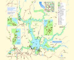
Lake Oroville State Recreation Area Map
Map of recreation area with detail of trails and recreation zones
97 miles away
Lake Oroville State Recreation Area Map
Map of recreation area with detail of trails and recreation zones
97 miles away
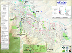
Ashland Trails Map
Trail map of Ashland, Oregon. Shows bicycle routes and public parks and trails.
98 miles away
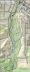
Lithia Park Trail Map
Trail map of Lithia Park in town of Ashland, Oregon. Adjacent to the Oregon Shakespeare Festival.
98 miles away
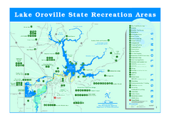
Lake Oroville State Recreation Area Map
Recreation overview map of Lake Oroville State Recreation Area near Oroville, California. Show all...
99 miles away
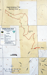
Grizzly Peak Trail Map
Topographic trail map of Grizzly Peak near Ashland, Oregon. Shows trails and distances. From...
100 miles away
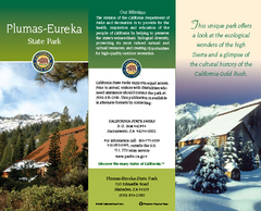
Plumas-Eureka State Park Map
Map of park with detail of trails and recreation zones
100 miles away
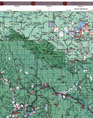
Klamath National Forest Map
Visitor Map of Klamath, western part of the park. Includes all roads, lakes, rivers and camping...
103 miles away
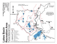
Lakes Basin Recreation Area Trail Map
Trail map of Lakes Basin Recreation Area in Plumas National Forest near Graeagle, California...
104 miles away

Lakeview Oregon Road Map
106 miles away
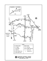
Mendocino National Forest map
Map of the Nome Cult Trail Walk in the Mendocino National Forest.
108 miles away
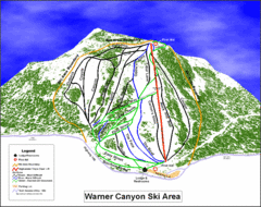
Warner Canyon Ski Trail Map
Trail map from Warner Canyon, which provides downhill skiing.
110 miles away

Bear Creek Greenway Map
Trail map of the Bear Creek Greenway connecting Central Point to Ashland, Oregon. Will eventually...
110 miles away
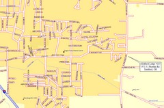
Medford, Oregon City Map
110 miles away

Redwood National Park Map
121 miles away
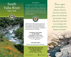
South Yuba River State Park Map
Map of park with detail of trails and recreation zones
122 miles away
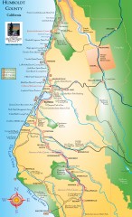
Humboldt County, California Map
Tourist map of Humboldt County, California. Shows parks, wildlife refuges, visitor centers, and...
124 miles away
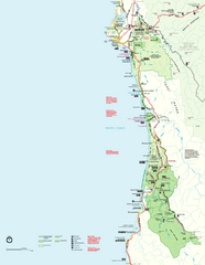
Redwood National Park Map
Official NPS map of Redwood National Park, California. Also shows Jedediah Smith Redwoods State...
124 miles away
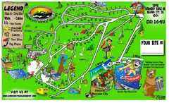
Harmony Ridge Resort Map
125 miles away
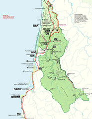
Prairie Crek State Park Map
127 miles away
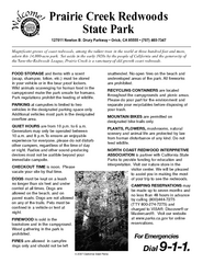
Prairie Creek Redwoods State Park Campground Map
Map of campground region of park with detail of trails and recreation zones
127 miles away
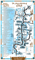
Orick Redwood National Park Map
127 miles away
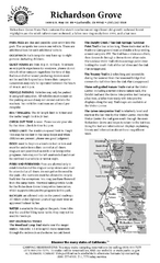
Richardson Grove State Park Campground Map
Map of campground region of park with detail of trails and recreation zones
128 miles away
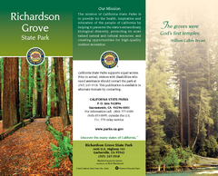
Richardson Grove State Park Map
Map of park with detail of trails and recreation zones
128 miles away

Burning Map 2005 Map
Artistic representation of Burning Man's Black Rock City.
128 miles away
Nevada County Economic Resource Council Activity...
The ERC supports many different businesses in western Nevada County. We provide business assistance...
128 miles away
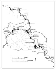
Humboldt Redwoods State Park Map
Park map of Humboldt Redwoods State Park, California. Shows Avenue of the Giants, trailheads and...
128 miles away
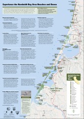
Humboldt Bay Area Beaches and Dunes Map
Humboldt Bay Beaches & Dunes Map & Guide
128 miles away
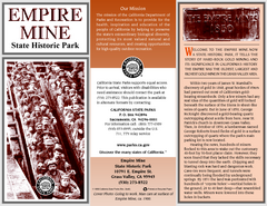
Empire Mine State Historic Park Map
Map of park with detail of trails and recreation zones
129 miles away
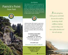
Patrick's Point State Park Map
Map of park with detail of trails and recreation zones
131 miles away
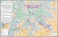
Oregon Rogue Valley wineries Map
Southern Oregon's Rogue Valley wineries
131 miles away
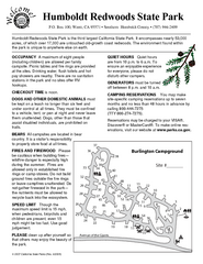
Humboldt Redwoods State Park Campground Map
Map of campground region park with detail of trails and recreation zones
132 miles away

