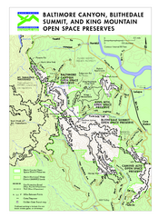
Blithedale Summit Open Space Preserve Map
Trail map of Blithedale Summit Open Space Preserve, Baltimore Canyon Open Space Preserve, and King...
126 miles away
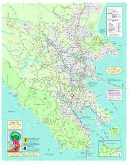
Marin Bicycle Map - Side A
Bike route map of Marin County, California. Shows primary and secondary road routes, paved and...
127 miles away
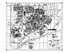
University of California at Davis Map
Campus Map of the University of California at Davis. All buildings shown.
127 miles away
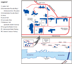
Touro University Map
Campus map of Touro University's Mare Island Campus.
127 miles away
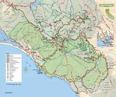
Mount Tamalpais State Park Map
Topographic trail map of Mt Tamalpais State Park in Marin County, California.
127 miles away
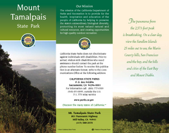
Mount Tamalpais State Park Map
Map of park with detail of trails and recreation zones
127 miles away
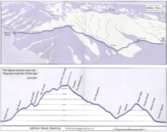
Dipsea Race Course Map
Course map of the annual Dipsea Trail Run Race. Shows birds-eye view and elevation profile of the...
128 miles away
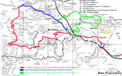
Alpine Dam Seven Sisters Road Bike Route Map...
Road biking route map for the classic Alpine Dam/Seven Sisters loop in Marin County from San...
128 miles away
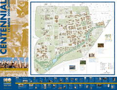
University of California Davis Campus Map
Campus map of UC Davis in Davis, California. Shows all buildings.
128 miles away
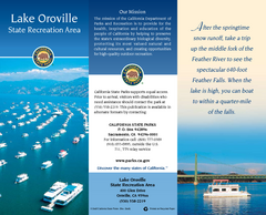
Lake Oroville State Recreation Area Map
Map of recreation area with detail of trails and recreation zones
128 miles away
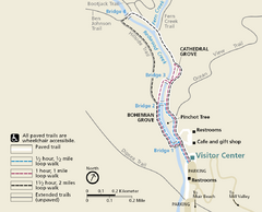
Muir Woods Trail Map
Shows paved loop walks and extended unpaved trails in Muir Woods National Monument, California
128 miles away
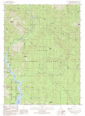
Bollibokka Mountain Quad - Shasta Lake Map
Topographic map, Bollibokka Mountain Quadrangle, California 1990. Area of map includes a portion of...
128 miles away
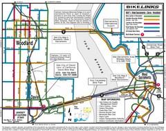
Davis, California BIke Map
128 miles away
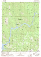
Devils Rock Quad - Shasta Lake Map
Topographic map, Devils Rock Quadrangle, California 1990. Area of map includes a portion of Shasta...
129 miles away
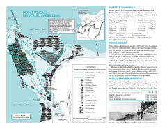
Point Pinole Regional Shoreline Map
129 miles away
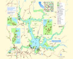
Lake Oroville State Recreation Area Map
Map of recreation area with detail of trails and recreation zones
129 miles away
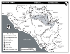
Muir Woods Trail Map
Black and white trail map of Muir Woods National Monument and surrounding Mount Tamalpais State...
129 miles away
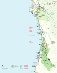
Redwood National Park Map
Official NPS map of Redwood National Park, California. Also shows Jedediah Smith Redwoods State...
129 miles away
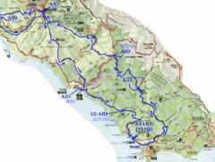
Golden Gate Headlands 50k Course Map
Here is a map of the 31-mile course for the Golden Gate Headlands: USATF National 50K Trail...
130 miles away
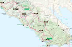
Headlands 50K Map (for 2011 race and future races)
Course For 2011 Headlands 50K
130 miles away
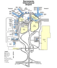
Sacramento International Airport Map
131 miles away
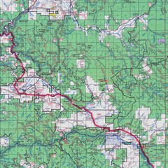
Lassen National Park Map
Forest Visitor Map showing locations of most camping and recreational areas in the eastern part of...
132 miles away
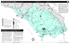
Marin Headlands Trail Map
Trail map of Marin Headlands in Marin County, California. Shows trails with distances by use type...
132 miles away
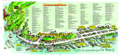
Sausalito Tourist Map
Visitor map of Sausalito, California. Shows restaurants, shopping, and other points of interest
133 miles away
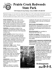
Prairie Creek Redwoods State Park Campground Map
Map of campground region of park with detail of trails and recreation zones
134 miles away
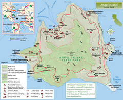
Angel Island State Park Map
Official map of Angel Island State Park in the San Francisco Bay. Shows paved and unpaved roads...
134 miles away
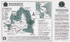
Angel Island State Park Map
Map of park with detail of trails and recreation zones
134 miles away
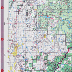
Lassen National Park Map
Visitor Map that shows most of Lassen National Forest with locations of camp grounds and...
134 miles away
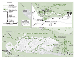
Wildcat Canyon Regional Park Map
135 miles away
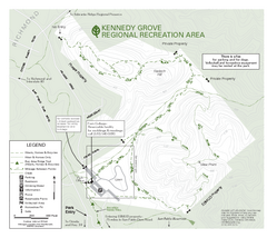
Kennedy Grove Recreation Area Trail Map
222-acre park
135 miles away
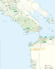
Golden Gate National Recreation Area Detail Map
135 miles away
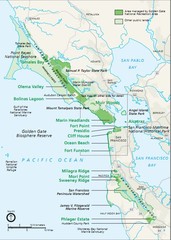
Golden Gate National Recreation Area Area Map
136 miles away

1914 Bouquet Key Route Business Block Map
This map shows the borders of the Bouquet Business District in Contra Costa County, CA
136 miles away
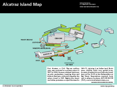
Alcatraz Island Map
Official NPS map of Alcatraz Island National Park in the San Francisco Bay, California
137 miles away
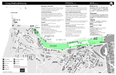
Crissy Field Map
Official NPS map of Crissy Field and vicinity in the Presidio of San Francisco, CA
137 miles away
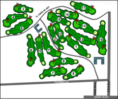
Lincoln Park Golf Course Map
137 miles away
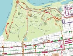
Baker Beach, San Francisco Tourist Map
137 miles away
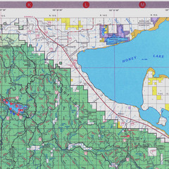
Lassen National Park Map
Forest Visitor Map of the farthest east of the park, shows all camping and recreational areas and...
137 miles away
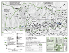
Tilden Regional Park Map - North
137 miles away
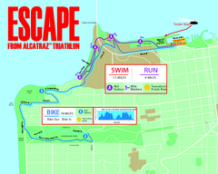
Escape From Alcatraz Triathlon Course Map 2009
Official course map of the 2009 Escape From Alcatraz Triathlon in San Francisco
137 miles away

