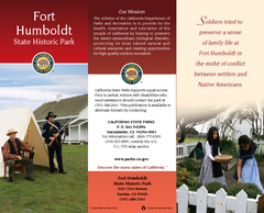
Fort Humboldt State Historic Park Map
Map of park with detail of trails and recreation zones
92 miles away
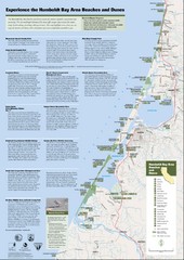
Humboldt Bay Area Beaches and Dunes Map
Humboldt Bay Beaches & Dunes Map & Guide
92 miles away
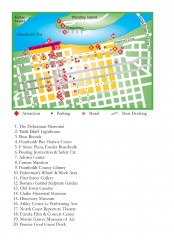
Old Town, Eureka, California Map
Tourist map of the Old Town area of Eureka, California. Shows various attractions including murals...
93 miles away
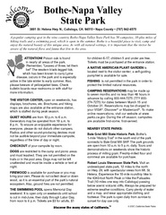
Bothe-Napa Valley State Park Map
Map of park with detail of of trails and recreation zones
94 miles away
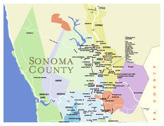
Wineries in Sonoma County, California Map
Map of winery locations in Sonoma County, California. Shows wineries, tasting rooms, and valleys of...
96 miles away
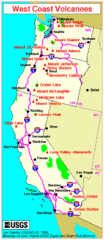
Major West Coast Volcanoes (Washington, Oregon...
96 miles away
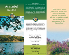
Annadel State Park Map
Map of park with detail of trails and recreation zones
97 miles away
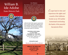
William B. Ide Adobe State Historic Park Map
Map of park with detail of trails and recreation zones
97 miles away
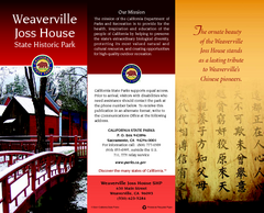
Weaverville Joss House State Historic Park Map
Map of park with detail of trails and recreation zones
98 miles away
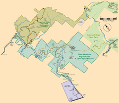
Hood Mountain Regional Park Map and Sugarloaf...
Park map of Hood Mountain Regional Park and Open Space Preserve and Sugarloaf Ridge State Park in...
98 miles away
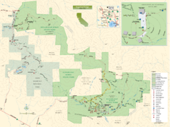
Sugarloaf Ridge State Park Map
Trail map of Sugarloaf Ridge State Park
98 miles away
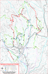
Weaverville Basin Trail System Map
Guide to trails near Weaverville, CA
98 miles away
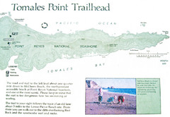
Tomales Point Trail Map
Map of the trail to Tomales Point in Point Reyes National Seashore, California. Also shows trail...
100 miles away
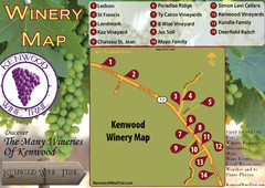
Kenwood Wine Tasting Map
100 miles away
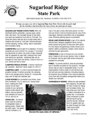
Sugarloaf Ridge State Park Campground Map
Map of park with detail of trails and recreation zones
100 miles away
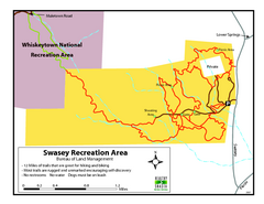
Swasey Recreation Area Map
12 Miles of trails that are great for hiking and biking. Most trails are rugged and unmarked...
101 miles away
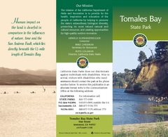
Tomales Bay State Park Map
Map of park with detail of trails and recreation zones
102 miles away

Lake Berryessa Map
Lake Berryessa Recreational Map, Napa County, California
103 miles away

Lake Berryessa Recreation Map
Lake Berryessa Recreational Map, Napa County, California
103 miles away
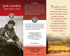
Jack London State Historic Park Map
Map of park with detail of trails and recreation zones
103 miles away
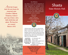
Shasta State Historic Park Map
Map of park with detail of trails and recreation zones
104 miles away
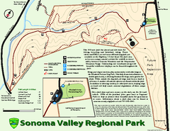
Sonoma Valley Regional Park Map
Trail map of 202 acre Sonoma Valley Regional Park.
104 miles away
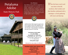
Petaluma Adobe State Historic Park Map
Map of park with detail of trails and recreation zones
104 miles away
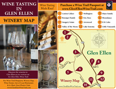
Glen Ellen Wine Tasting Map
104 miles away
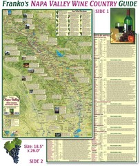
Napa Valley Wine Country Guide Map
Map of the Napa Valley Wine Country. With over 250 local Wineries listed. Printed on waterproof...
105 miles away
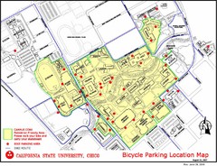
California State University, Chico Bike Parking...
Map that highlights all the available bike parking area and bike routes throughout the campus and...
105 miles away
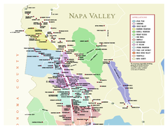
Napa County Wineries, California Map
Map of wineries in Napa County, California. Shows wineries and appellations.
106 miles away

Greater Lake Berryessa Region Tourist Map
Tourist map of the Lake Berryessa region in Napa, California
106 miles away
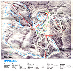
Iron Mountain Trail Map
Iron Mountain ski area
106 miles away
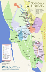
Sonoma Country Wine Map
Wine map of Sonoma, California area. Shows all vineyards.
107 miles away
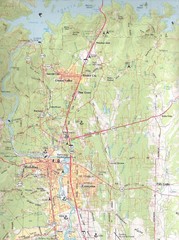
Redding, California City Map
107 miles away
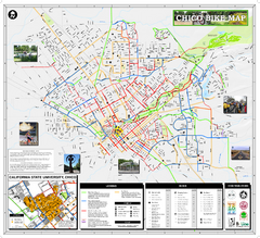
Chico Bike Map
Bicycle route map of Chico, California
107 miles away
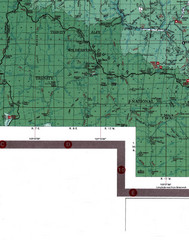
Klamath National Forest Map
Visitor Map of Klamath, eastern part of the forest, includes all roads, camp grounds, creeks, and...
107 miles away

Chico, California City Map
107 miles away
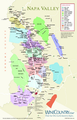
Napa Valley Wine Map
Wine map of Napa Valley, Napa, California. Shows all vineyards and shading by appellations from...
108 miles away
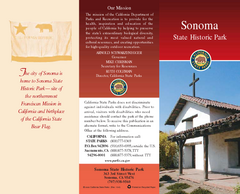
Sonoma State Historic Park Map
Map of park with detail of trails and recreation zones
109 miles away
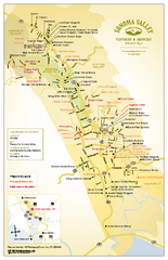
Sonoma Valley Winery Map
High quality map of Sonoma Valley wineries from the vinters and growers. Shows all key roads and...
109 miles away
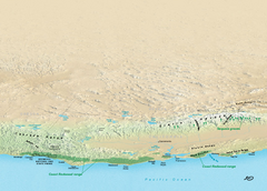
California Redwood Range Map
NPS prospective map of the coastal redwoord range in California, extending from Santa Cruz north to...
110 miles away
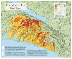
Point Reyes Vision Fire Map
Map of the burn intensity of the 1995 Vision Fire in Point Reyes National Seashore.
110 miles away
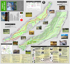
Upper and Lower Bidwell Park Bike Map
Bike map of Upper Bidwell Park and Lower Bidwell Park in Chico, California
111 miles away

