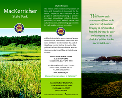
MacKerricher State Park Map
Map of park with detail of trails and recreation zones
0 miles away
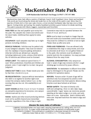
MacKerricher State Park Campground Map
Map of campground region of park with detail of trails and recreation zones
less than 1 mile away
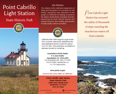
Point Cabrillo Light Station State Historic Park...
Map of park with detail of trails and recreation zones
9 miles away
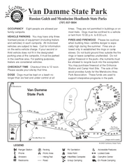
Russian Gulch State Park Campground Map
Map of campground region of park with detail of trails and recreation zones
11 miles away
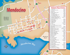
Mendocino Tourist Map
Tourist map of town of Mendocino, California. Shows shops and services.
12 miles away
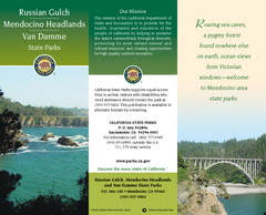
Mendocino Headlands State Parks Map
Map of parks with detail of trails and recreation zones
13 miles away

Van Damme State Park Map
Park map of Van Damme State Park near Mendocino, California. Show Fern Valley Trail through...
15 miles away
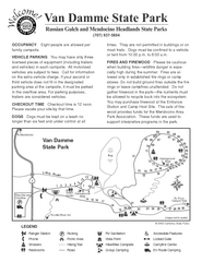
Van Damme State Park Campground Map
Map of campground region of park with detail of trails and recreation zones
15 miles away
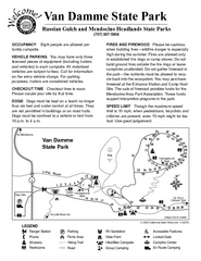
Van Damme State Park Campground Map
Map of campground region of park with detail of trails and recreation zones
15 miles away
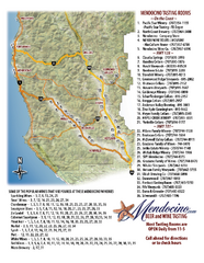
Mendocino Beer and Wine Tasting Map
Beer and wine tasting map of Mendocino county, California. Show breweries and wineries on the...
31 miles away
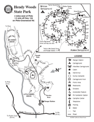
Hendy Woods State Park Map
Park map of Hendy Woods State Park in Philo, California. Shows trails, campgrounds, and other...
33 miles away
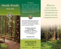
Hendy Woods State Park Map
Map of park with detail of trails and recreation zones
33 miles away
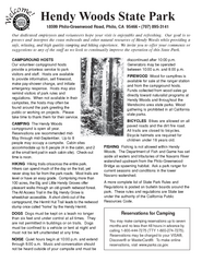
Hendy Woods State Park Campground Map
Map of campground region park with detail of trails and recreation zones
33 miles away
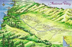
Anderson Valley Wine Map
Shows wineries/vineyards in Anderson Valley, California along Route 128 from Navarro, California to...
34 miles away
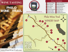
Philo Wine Map
Shows wineries great for wine tasting in the Anderson Valley along Route 128 in Philo California.
35 miles away
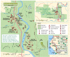
Richardson Grove State Park Map
Park map of Richardson Grove State Park, California. Shows trails, campgrounds, and other...
37 miles away
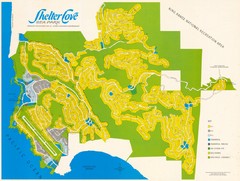
Shelter Cove Map
Shelter Cove Subdivision Map. Shows all streets, houses, commercial buildings, gas stations, and...
41 miles away
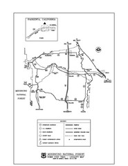
Mendocino National Forest map
Map of the Nome Cult Trail Walk in the Mendocino National Forest.
47 miles away
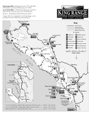
King Range National Conservation Area Trail Map
Trail map of the King Range National Conservation Area, home of the Lost Coast, California. Shows...
52 miles away
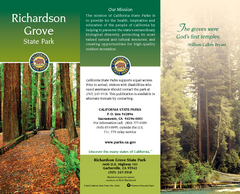
Richardson Grove State Park Map
Map of park with detail of trails and recreation zones
54 miles away
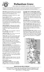
Richardson Grove State Park Campground Map
Map of campground region of park with detail of trails and recreation zones
54 miles away
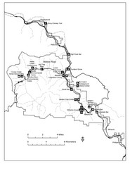
Humboldt Redwoods State Park Map
Park map of Humboldt Redwoods State Park, California. Shows Avenue of the Giants, trailheads and...
57 miles away
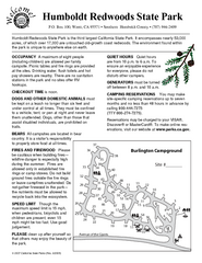
Humboldt Redwoods State Park Campground Map
Map of campground region park with detail of trails and recreation zones
59 miles away
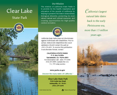
Clear Lake State Park Map
Map of park with detail of trails and recreation zones
62 miles away
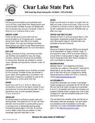
Clear Lake State Park Campground Map
Map of park with detail of trails and recreation zones
63 miles away
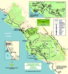
Salt Point State Park Map
Topo park map of Salt Point State Park and Kruse Rhododendron State Reserve. Shows trails by use...
67 miles away
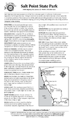
Salt Point State Park Campground Map
Map of campground region of park with detail of trails and recreation zones
68 miles away
Salt Point State Park Map
Map of park with detail of trails and recreation zones
68 miles away
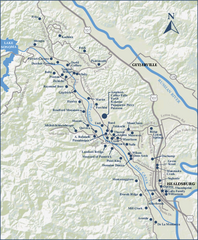
Dry Creek Valley Wineries, California Map
Map of wineries in Dry Creek Valley, California. Shows wineries and roads.
70 miles away
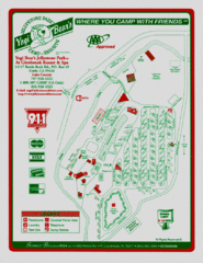
Jellystone Park at Glebrook Resort & Spa Map
71 miles away
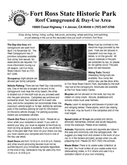
Fort Ross State Historic Park Campground Map
Map of park with detail of trails and recreation zones
73 miles away
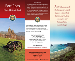
Fort Ross State Historic Park Map
Map of park with detail of trails and recreation zones
73 miles away
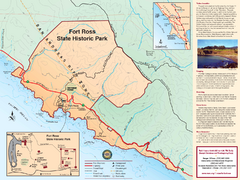
Fort Ross State Historic Park Map
Map of park with detail of trails and recreation zones
73 miles away
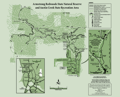
Armstrong Redwoods State Natural Reserve Map and...
Park map of Armstrong Redwoods State Natural Reserve and Austin Creek State Recreation Area in...
76 miles away
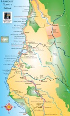
Humboldt County, California Map
Tourist map of Humboldt County, California. Shows parks, wildlife refuges, visitor centers, and...
77 miles away
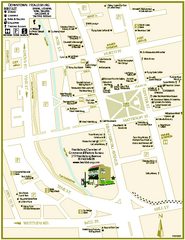
Downtown Healdsburg, California Map
Tourist maps of downtown Healdsburg, California. First map shows restaurants, galleries, wine...
78 miles away
Sonoma Coast State Beach Map
Map of beach and park with detail of trails and recreation zones
83 miles away
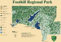
Foothill Regional Park Map
Park map of Foothill Regional Park in Sonoma County, California. Shows trails and 3 lakes.
84 miles away
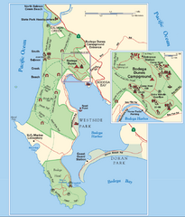
Bodega Bay Park Map
Park map of the Sonoma Coast State Beach park lands in Bodega Bay, California. Shows roads, trails...
89 miles away

Sebastopol Map
Map of Sebastopol and surrounding towns.
90 miles away

