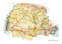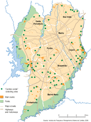
Curitiba City Map
Curitiba city overview map
99 miles away
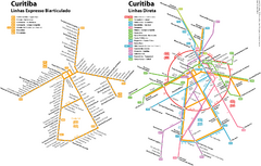
Curitiba Public Transportation Map
100 miles away
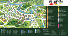
Blumenau Tourist Map
Tourist street map of city
167 miles away

Mississippi Airports Map
182 miles away
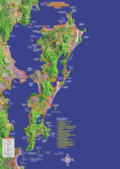
Florianopolis Tourist Map
Tourist map of of Florianopolis, Brazil, known as Floripa. A popular beach party destination
224 miles away
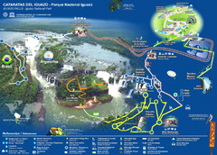
Iguasu Park Map
229 miles away
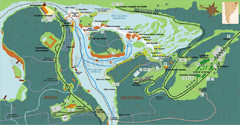
Iguazu National Park Map
Tourist map of park
231 miles away
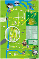
Iguacu Falls Tourist Map
Tourist map of Iguacu Falls, Brazil. Shows points of interest.
233 miles away
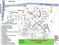
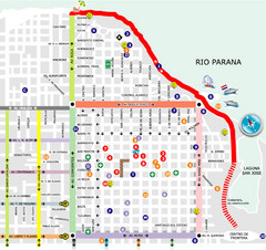
Puerto Iguazu Tourist Map
Tourist street map
237 miles away
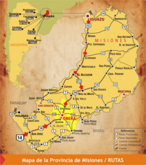
Misiones Province Map
Map of province with detail of main cities and towns
256 miles away
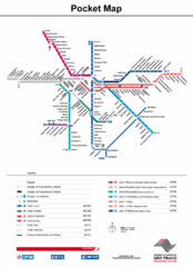
Sao Paulo Bus System Map
281 miles away

Map of Sao Paulo State, Brazil
284 miles away
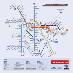
Sao Paulo Bus System Map
284 miles away
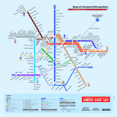
Metropolitan Transport of Sao Paulo Map
284 miles away
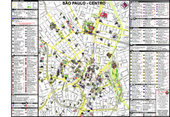
Centre of Sao Paulo Map
284 miles away
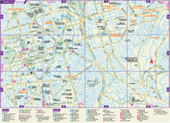
Guarulhos Tourist Map
Tourist map of city
292 miles away
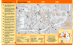
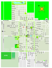
Obera Tourist Map
Tourist street map of city
314 miles away
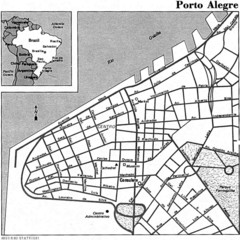
Porto Alegre City Map
343 miles away
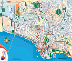
Porto Alegre Map
Street map of city
344 miles away
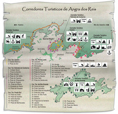
Angra dos Reis Tourist Map
Tourist map of region
435 miles away
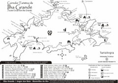
Ilha Grande Tourist Map
Tourist map of island
437 miles away
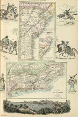
Middle Provinces of Brazil Map 1872
Map of province east coast of Brazil (Bahia) and province of Rio de Janeiro, Brazil 1872
477 miles away

Paraguay Map
Map of Paraguay showing cities, roads, railroads and borders.
494 miles away
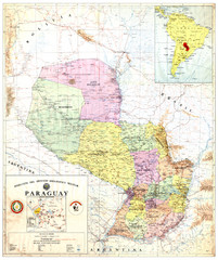
Official map of Paraguay
Official map of Paraguay, year 1993
494 miles away
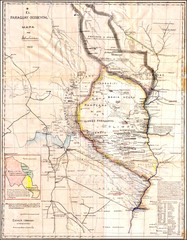
Wartime map of the Chaco
This 1933 map of the Chaco was made during the Chaco War between Paraguay and Bolivia and used by...
494 miles away
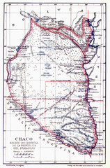
All the failed proposals to delimit the Chaco Map
Here you can see all the proposals to delimit the Chaco between 1879 and 1894. Everyone of them...
494 miles away
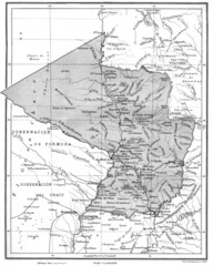
Map of Paraguay before the Chaco War
This is an internationally accepted map of Paraguay before the Chaco War (1932-35) made by Scottish...
494 miles away
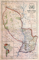
Map of Paraguay before the Chaco War
This dateless map of Paraguay that I scanned shows all the local claim over the Chaco (the northern...
494 miles away
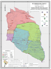
Ecological Region of the Chaco Map
This is the ecological Region of the Chaco shared between Paraguay and Bolivia
494 miles away
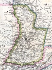
Paraguay Political Map 1875
Political map of Paraguay in 1875. Part of "Mapa Original de la Republica Argentina y Estados...
494 miles away

Paraguay Map
497 miles away
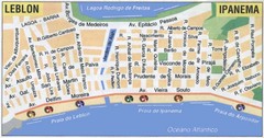
Ipanema - Leblon Street Map
Street map of Ipanema/Leblon region of Rio
502 miles away
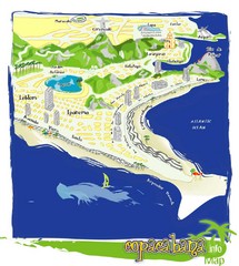
Copacabana Tourist Map
503 miles away
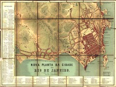
Rio de Janeiro Map 1867
Detailed map of city of Rio de Janeiro. Looks like the map portion has been overlayed on top of a...
504 miles away
. Map
504 miles away

