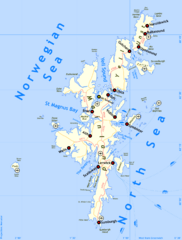
Shetland Islands Tourist Map
239 miles away
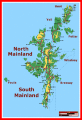
Shetland Islands Tourist Map
239 miles away
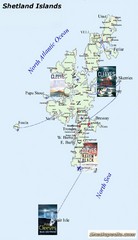
Shetland Islands Tourist Map
239 miles away
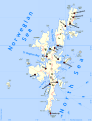
Shetland Islands Map
239 miles away
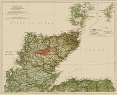
Sutherland Historical Map
Map of Sutherland and Caithness in Saga-Time
239 miles away
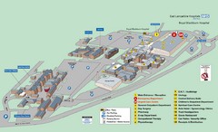
Royal Blackburn Hospital Map
Maps of Royal Blackburn
239 miles away
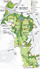
Cuerden Valley Park Map
239 miles away
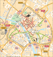
York Tourist Map
240 miles away
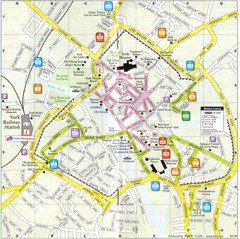
York England Tourist Map
Tourist map of York England showing roads, tourist sites ad railways.
240 miles away
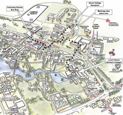
University of York Campus Map
Relevant landmarks and main roads and buildings
242 miles away
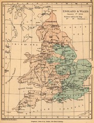
1644 England and Wales Political Map
Map showing districts held by teh King versus the Parliament during the Puritan Revolution
242 miles away
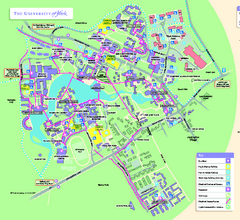
University of York Map - Heslington Campus
Campus map of the University of York Heslington Campus near York, England.
242 miles away
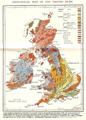
British Isles Geological Map
Old British Isles geological map
242 miles away

Rossendale Hospital Map
Campus map of hospital
242 miles away
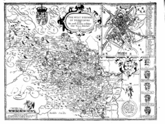
1610 Yorkshire County Historical Map
A 1610 map of Yorkshire Country in the United Kingdom
243 miles away
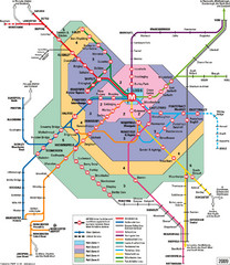
Leeds Metro Train Diagram Map
Metro system map for Leeds, England and surrounding cities.
244 miles away
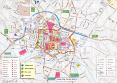
Leeds Tourist Map
Tourist map of city center of Leeds, UK
244 miles away
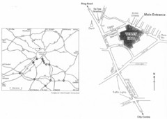
University of Leeds Campus Map
Various buildings on the University of Leeds campus
245 miles away

Owenea Fishery Map
Road Map of Owenea Fishery. Shows the location of the Owenea Fishery including all roads, towns...
247 miles away
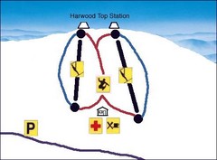
Harwood Sketch Ski Trail Map
Trail map from Harwood.
248 miles away

Schematic UK Postcode Map
Shows all postcode areas in the United Kingdom in shape of UK with London extracted.
249 miles away
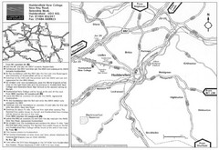
Huddersfield New College Location Map
250 miles away
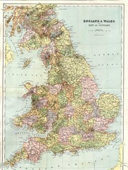
England and Wales Map
Guide to England, Wales and part of Scotland, showing counties
252 miles away
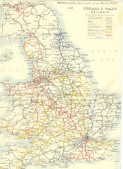
1887 - Prinicipal Railways in England and Wales...
Railways in England and Wales in 1887
252 miles away
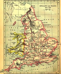
1660-1892 England and Wales Map
Guide to England and Wales from 1660-1892, showing topographic information
252 miles away
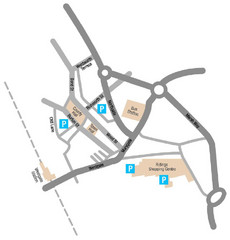
Wakefield Center Street Map
Crude street map of center of Wakefield, UK.
252 miles away
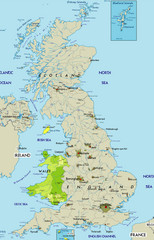
Wales Map
Guide to Wales and major cities in the United Kingdom
254 miles away
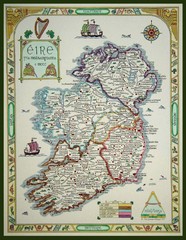
Hand-Drawn Ireland Map
Guide to Ireland and Northern Ireland, in Gaelic
254 miles away
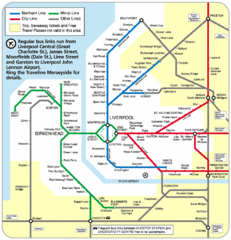
Merseyside Tube Map
257 miles away
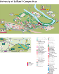
University of Salford Map
257 miles away
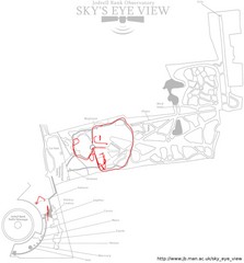
Jodrell Bank Observatory Map
Map of the Jodrell Bank Observatory. Shows location of parking lot, layout of the observatory...
258 miles away
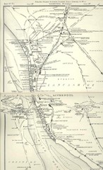
Liverpool Railway Map
Guide to historic rail lines around Liverpool
258 miles away
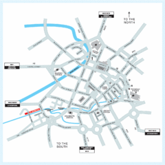
Manchester Overview Map
258 miles away
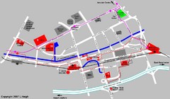
Manchester Map
258 miles away
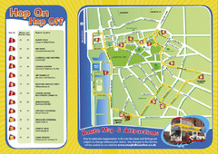
Liverpool Bus Tour Map
258 miles away
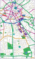
Manchester Map
258 miles away
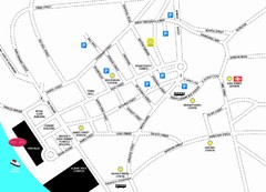
Merseytravel Headquarters Location Map
258 miles away
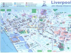
John Moores University Map
Campus map of John Moores University, Liverpool, UK
258 miles away
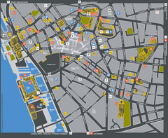
Liverpool Tourist Map
Tourist map of central Liverpool, England, UK. Shows points of interest.
258 miles away

