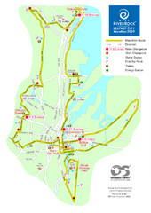
Belfast City Marathon Map
Event and the marathon map.
194 miles away
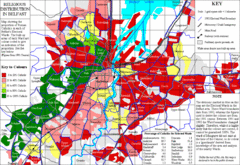
Belfast Religious Distribution Map
Guide to proportion of Catholics in each Belfast ward
195 miles away
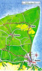
Ramsey, Isle of Man City Map
196 miles away
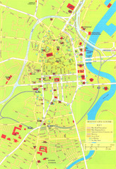
Belfast Tourist Map
Tourist map of center of Belfast, Northern Ireland, UK. Major buildings highlighted.
196 miles away
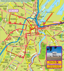
Belfast Bus Tour Map
196 miles away
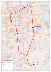
Gasworks/Belfast city centre shuttle Bus Map
Shuttle Bus service map between the Gasworks Estate and Belfast city centre.
196 miles away
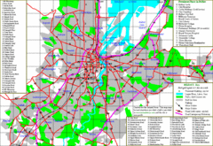
Belfast Map
196 miles away
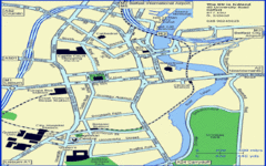
Belfast City Map
City map of Belfast with tourist information
196 miles away
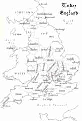
Tudor England Counties Map
Guide to the counties of England under Tudor reign
196 miles away
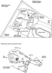
Odyssey Complex Public Service Attraction Visitor...
Odyssey complex site map, displaying the locations of all attractions, restaurants, stores...
196 miles away
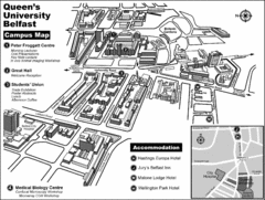
Queen's University Belfast Campus Map
Campus map of Queen's University Belfast in Belfast, Northern Ireland
197 miles away
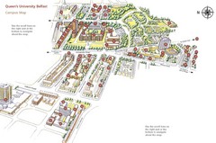
Queen's University Belfast Map
Guide to campus and botanical gardens
197 miles away
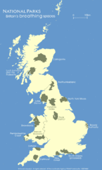
UK National Park Map
Shows locations of all national parks in the United Kingdom.
198 miles away
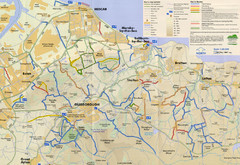
Redcar & Cleveland Horse Riding Routes Map
Horseriding route map of Redcar & Cleveland area, England shows public bridleways, public...
203 miles away
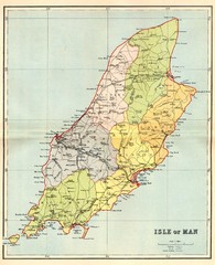
Isle of Man Map
203 miles away
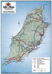
Isle of Man Transportation Map
203 miles away
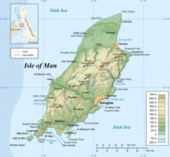
Isle of Man Topo Map
Topographical map of the Isle of Man showing roads, rail tracks, geographic features, and towns...
203 miles away
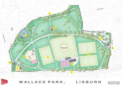
Wallace Park Map
203 miles away
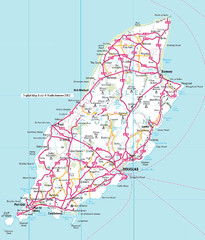
Isle of Man roads Map
203 miles away
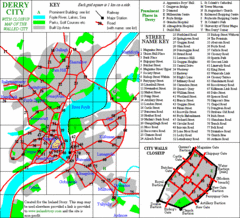
Derry/Londonderry Map
205 miles away
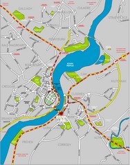
Londonderry Map
205 miles away
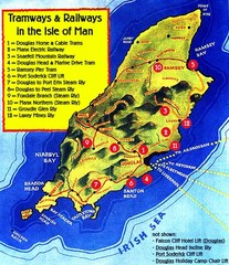
Isle of Man Railways and trams Map
206 miles away
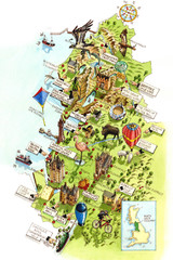
North West England Map
North West England map by Katherine Baxter
206 miles away
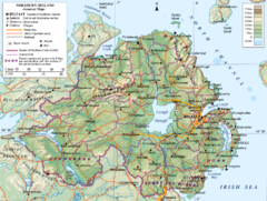
Northern Ireland General Map
Guide to Northern Ireland, major cities, topography and roads
207 miles away
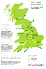
United Kingdom Map
209 miles away
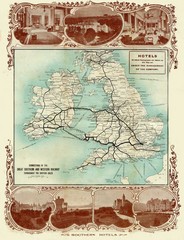
Historic United Kingdom Railroad Map
Guide to the connections of the Great Southern and Western Railways in the British Isles
212 miles away
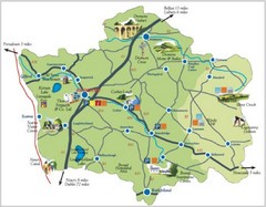
Banbridge District Tourism Map
Shows the locations of the main visitor attractions in the Banbridge District of Northern Ireland...
217 miles away
Letterkenny Map
218 miles away
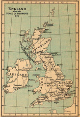
878 England Map
Guide to England after the Peace of Wedmore
220 miles away
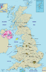
Northern Ireland Political Map
Guide to Northern Ireland and major cities in the United Kingdom
225 miles away
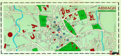
Armagh Ireland Street Map
Street Map of Armagh City, Ireland showing tourist information center, streets, churches and...
225 miles away
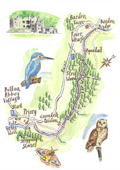
A walk around Bolton Abbey Yorkshire Map
A walk around Bolton Abbey in Yorkshire, Uk. Produced for Dales Life Magazine.
226 miles away

Blackpool Street Map
Street map of city of Blackpool, UK.
230 miles away
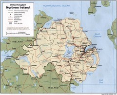
Northern Ireland Map
Map of Northern Ireland showing roads, cities, railroads and borders.
230 miles away
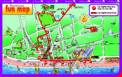
Blackpool Bus Tour Map
Blackpool Bus Tour Map - City Sightseeing
230 miles away
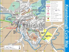
Knaresborough Cycling Map
Shows traffic free cycling routes, advisory routes, traffic calmed roads, cycle lanes, bike shops...
231 miles away
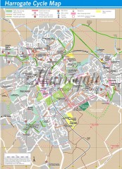
Harrogate Cycling Map
Shows traffic free cycling routes, advisory routes, traffic calmed roads, cycle lanes, bike shops...
232 miles away
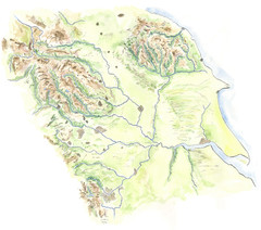
Yorkshire topography Map
237 miles away


