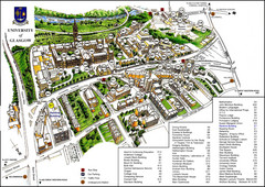
University of Glasgow Map
90 miles away
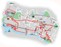
Glasgow Bus Tour Map
90 miles away
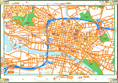
Glasglow Tourist Map
Tourist map of Glasglow, UK. Shows points of interest.
90 miles away
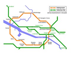
Glasgow Subway Map
Guide to underground and suburban rail
90 miles away
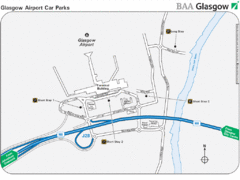
Glasgow Airport Map
92 miles away

Isle of Bute Guide Map
101 miles away
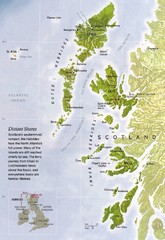
Hebrides Islands Map
109 miles away
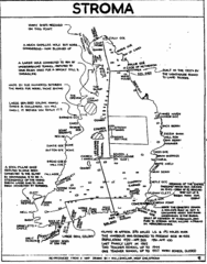
Stroma Tourist Map
109 miles away
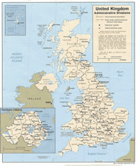
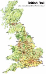
United Kingdom Tourist Map
121 miles away
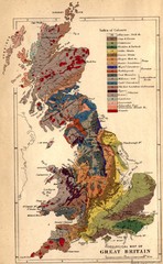
Great Britain Geological Map
Geological Map of Great Britain
121 miles away
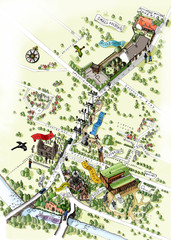
Alloway Scotland Map
123 miles away
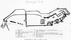
Bamburgh Castle Map
128 miles away
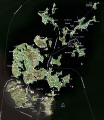
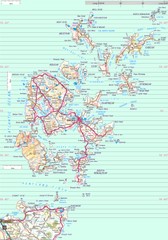
Orkney Islands Map
Guide to the Orkney Islands, northern most islands of the United Kingdom
135 miles away

England Tourist Map
Cities and countries in England
146 miles away
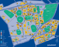
Camperdown Tourist Map
Guide map for Camperdown and Darlington, United Kingdom
165 miles away
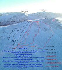
Raise Ski Trail Map
Trail map from Raise.
166 miles away
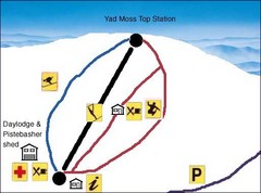
Yad Moss Sketch Ski Trail Map
Trail map from Yad Moss.
167 miles away

Newcastle Metro System Map
168 miles away
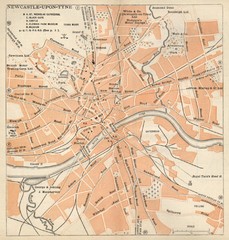
Newcastle upon Tyne Map
1920 Michelin Map to Newcastle upon Tyne, UK
168 miles away
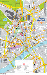
Newcastle Tourist Map
Tourist map of central Newcastle Upon Tyne, UK. Shows points of interest.
168 miles away
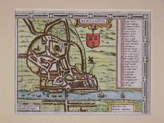
1611 Newcastle-Upon-Tyne Historic Map
Guide to historic Newcastle upon Tyne
168 miles away
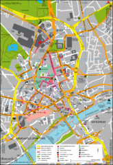
Newcastle City Map
City center map of Newcastle Upon Tyne, UK
168 miles away
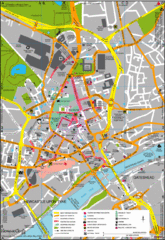
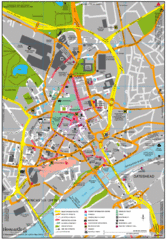
Newcastle Upon Tyne City Map
City map of Newcastle Upon Tyne with tourist information and some of Gateshead
168 miles away
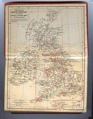
1910 Great Britain Map
169 miles away
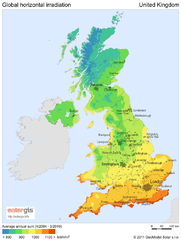
Solar radiation map of United Kingdom
Solar radiation map of UK, Global horizontal irradiation, Solar map UK
172 miles away
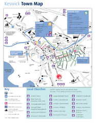
Keswick Town Map
Map of Keswick with Christian locations identified
175 miles away
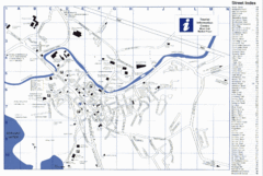
Keswick Tourist Map
Tourist map of Keswick, England. Shows all points of interest and has a street index.
175 miles away
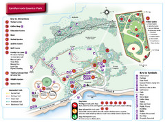
Carnfunnock Country Park Map
176 miles away
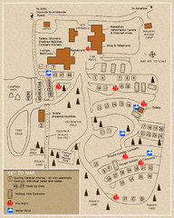
Castle Rigg Park Map
176 miles away
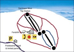
Swinhope Moor Sketch Ski Trail Map
Trail map from Swinhope Moor.
177 miles away
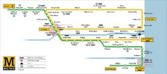
Tyne and Wear Metro Route Map
Map of metro transit routes throughout Tyne and Wear
178 miles away
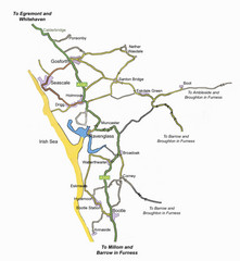
Whitehaven Wanderer Bus Route Map
182 miles away
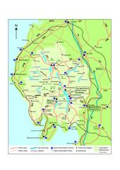
Lake District National Park Map
Detailed map marking the roads and boundaries of on of Britain's National Parks.
182 miles away
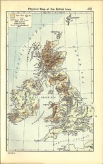
1911 British Isles Physical Map
Guide to physical features of the United Kingdom, then known as the British Isles
184 miles away
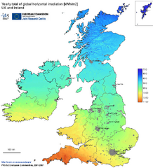
United Kingdom Solar Radiation Map
Guide to yearly total of global horizontal solar irradiation
185 miles away
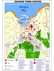
Bangor Town Centre Map
188 miles away
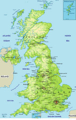
United Kingdom Physical Map
Guide to topography and physical features of Great Britain
189 miles away

