
California Counties Map
151 miles away
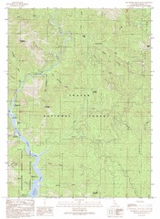
Bollibokka Mountain Quad - Shasta Lake Map
Topographic map, Bollibokka Mountain Quadrangle, California 1990. Area of map includes a portion of...
151 miles away
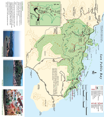
China Camp State Park Map
Trail map of China Camp State Park. Shows trails by use type and all park facilities.
152 miles away
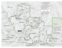
Sunol Regional Wilderness Trail Map - West
Trail map of western portion of Sunol Regional Wilderness in Sunol, California.
152 miles away
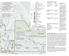
Sunol Regional Wilderness Trail Map - East
Trail map of eastern portion of Sunol Regional Wilderness in Sunol, California.
152 miles away

Downtown Oakland, California Map
Tourist map of downtown Oakland, California. Shows museums, parks, neighborhoods of interest and...
152 miles away
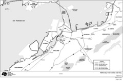
Bay Area, CA Bike Map
152 miles away
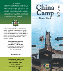
China Camp State Park Map
Map of park with detail of trails and recreation zones
152 miles away
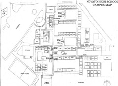
Novato High School Campus Map
152 miles away
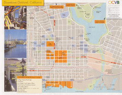
Oakland Tourist Map
Tourist map of downtown Oakland, California. Shows shopping districts.
152 miles away

Santa Margarita Island, Santa Venetia Marsh, and...
Park map of Santa Margarita Island Open Space Preserve, Santa Venetia Marsh Open Space Preserve...
152 miles away
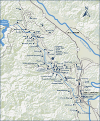
Dry Creek Valley Wineries, California Map
Map of wineries in Dry Creek Valley, California. Shows wineries and roads.
152 miles away
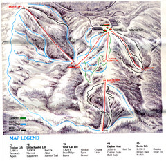
Iron Mountain Trail Map
Iron Mountain ski area
153 miles away
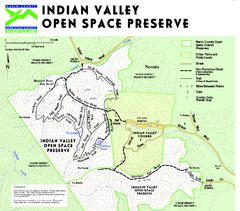
Indian Valley Open Space Preserve Map
153 miles away
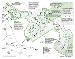
Mission Peak Preserve Map
Park map of Mission Peak Regional Preserve in Fremont, California. Topo map shows trails and trail...
153 miles away
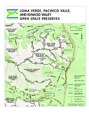
Loma Verde, Pacheco Valley, Lucas Valley and...
154 miles away
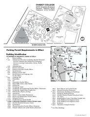
Chabot College Campus Map
Chabot College Campus Map. All buildings shown.
154 miles away
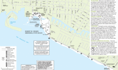
Crown Memorial State Beach Map
154 miles away
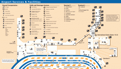
Oakland International Airport (OAK) Map
Terminal map. Shows all airport services and facilities
154 miles away
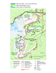
Indian Tree, Little Mountain, and Verissimo Hills...
154 miles away
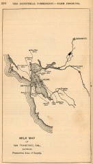
Antique map of San Francisco from 1901
"Milk Map of San Franciso, Cal., Showing Productive Area of Supply." From Report of the...
154 miles away
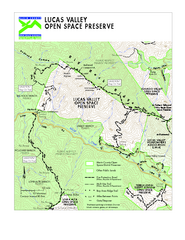
Lucas Valley Open Space Preserve Map
155 miles away
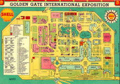
Golden Gate International Expo 1939 Map
Map of the 1939 Golden Gate International Expo.
155 miles away
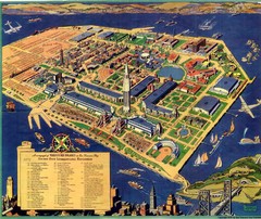
Golden Gate International Expo Cartograph 1939 Map
Bird's eye view of the Golden Gate International Expo in 1939 at Treasure Island in the San...
155 miles away
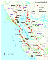
Bay Area Ridge Trail Map
Map of the Bay Area Ridge Trail. Shows completed segments through Sep 2009. "a 550+ mile...
155 miles away
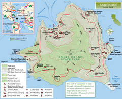
Angel Island State Park Map
Official map of Angel Island State Park in the San Francisco Bay. Shows paved and unpaved roads...
155 miles away
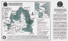
Angel Island State Park Map
Map of park with detail of trails and recreation zones
156 miles away
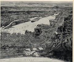
1936 San Francisco Bay Area Map Part 2
Guide to the San Francisco Bay Area, hand drawn over photograph
156 miles away
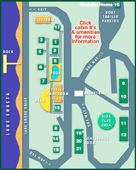
Tsasdi Resort - Shasta Lake Map
Map of the grounds of Tsasdi Resort, lakehead, CA.
156 miles away
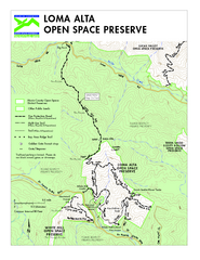
Loma Alta Preserve Map
Topographical trail map of Loma Alta Preserve in Marin County, California
157 miles away
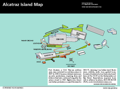
Alcatraz Island Map
Official NPS map of Alcatraz Island National Park in the San Francisco Bay, California
157 miles away

Sebastopol Map
Map of Sebastopol and surrounding towns.
157 miles away
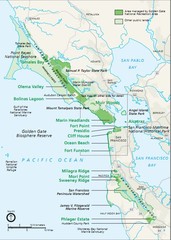
Golden Gate National Recreation Area Area Map
157 miles away
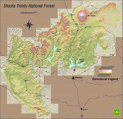
Shasta Trinity National Forest Elevation Map
Shaded relief map of Shasta-Trinity National Forest in northern California
157 miles away
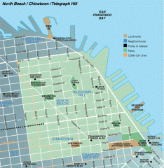
North Beach, Chinatown, Telegraph Hill map
Tourist map of North Beach, Chinatown, and Telegraph Hill in San Francisco
157 miles away
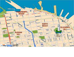
Downtown San Francisco: Fisherman's Wharf...
Tourist map of Fisherman's Wharf, North Beach, and Telegraph Hill area in downtown San...
157 miles away
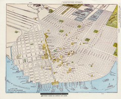
1896 San Francisco Perspective Map
Guide to historic San Francisco, in hand drawn perspective
158 miles away

1852 San Francisco Map
Guide to San Francisco, prior to 1852
158 miles away

Farwell’s Map of Chinatown in San Francisco...
This map of vice in San Francisco's Chinatown in 1885. A fascinating historical document, as...
158 miles away
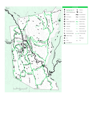
Joseph D. Grant County Park Map
Trail map of Joseph D Grant County Park in Santa Clara County, California
158 miles away

