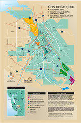
San Jose Enterprise Zone map
Map of Enterprise Zone in San Jose, CA
164 miles away
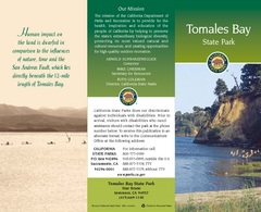
Tomales Bay State Park Map
Map of park with detail of trails and recreation zones
165 miles away
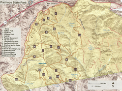
Pacheco State Park Trail Map
Map of park with details of different trails
165 miles away
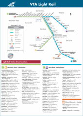
VTA Light Rail Map
165 miles away

Santa Clara Light Rail Map
165 miles away
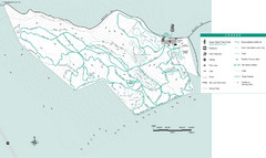
Motorcycle County Park Map
Map of Motorcycle County Park in Santa Clara County near San Jose, California. Shows all park...
165 miles away
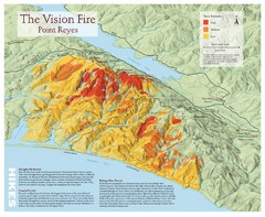
Point Reyes Vision Fire Map
Map of the burn intensity of the 1995 Vision Fire in Point Reyes National Seashore.
166 miles away
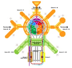
San Francisco Initernational Airport SFO Terminal...
AirTrain, airline, and gate locations map of SFO.
166 miles away
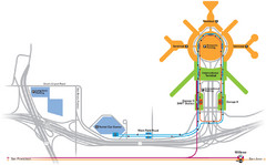
San Francisco International Airport Map
166 miles away
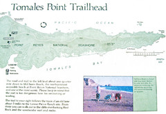
Tomales Point Trail Map
Map of the trail to Tomales Point in Point Reyes National Seashore, California. Also shows trail...
166 miles away
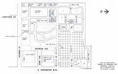
Mission City Memorial Park Map
Map of Mission City Memorial Park in Santa Clara, CA
166 miles away
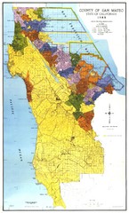
San Mateo County Map
Official county map of San Mateo, California. Scale 1"=5000'
166 miles away
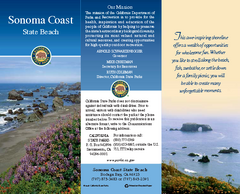
Sonoma Coast State Beach Map
Map of beach and park with detail of trails and recreation zones
166 miles away
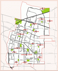
Sunnyvale map 94087 - City Parks
City parks map for Sunnyvale, California 94087. Go to the Sunnyvale Parks and Recreation site to...
166 miles away
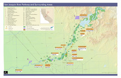
San Joaquin River Parkway Map
Map of the San Joaquin River Parkway. "The San Joaquin River Parkway is a mosaic of parks...
167 miles away
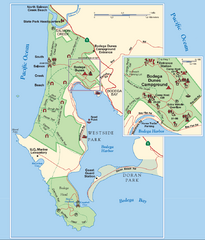
Bodega Bay Park Map
Park map of the Sonoma Coast State Beach park lands in Bodega Bay, California. Shows roads, trails...
167 miles away

Pacheco State Park Map
Map of park with detail of trails and recreation zones
167 miles away
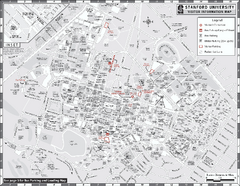
Stanford University Map
Stanford University Campus Map. All buildings shown.
167 miles away
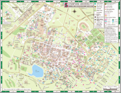
Stanford University Map
A map of the Stanford University campus.
168 miles away
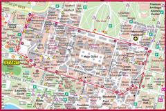
Cardinal Walk Map
Map of Stanford University campus with Cardinal Walk detail
168 miles away
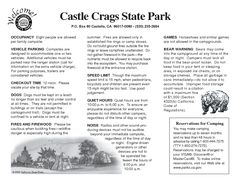
Castle Crags State Park Map
Map of park with detail of trails and recreation zones
168 miles away
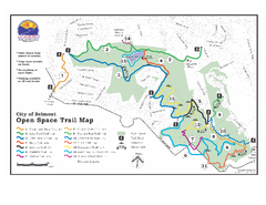
Water Dog Lake Park Trail Map
Trail map of Water Dog Lake Park. Open to mountain biking.
168 miles away
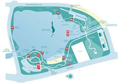
Almaden Lake Park Map
169 miles away
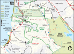
Sweeney Ridge Map
Trail map of Sweeney Ridge, part of the Golden Gate National Recreational Area.
169 miles away

San Mateo County Mid-County Trail Map
Trail map of mid-county trails in San Mateo County, California.
169 miles away
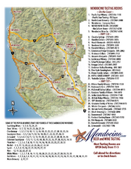
Mendocino Beer and Wine Tasting Map
Beer and wine tasting map of Mendocino county, California. Show breweries and wineries on the...
169 miles away
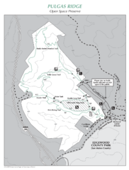
Pulgas Ridge Open Space Preserve Map
Trail map of Pulgas Ridge Open Space Preserve. 366 acres and 6 miles of trails
169 miles away
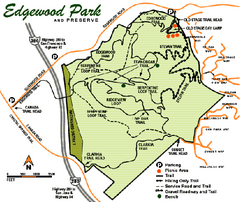
Edgewood County Park Trail Map
Trail map of Edgewood Park and Preserve in Redwood City, California.
169 miles away
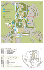
Cañada College Campus Map
Campus map of Cañada College, Redwood City, CA. Shows buildings.
170 miles away
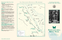
Fifield-Cahill Ridge Trail Map
Trail map and brochure of the Fifield-Cahill Ridge Trail in the San Francisco Peninsula Watershed.
170 miles away
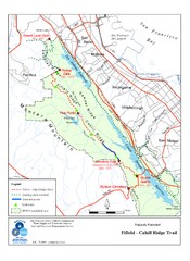
Fifield-Cahill Ridge Trail Map
Trail map of the Fifield-Cahill Ridge Trail in the San Francisco Peninsula Watershed.
170 miles away
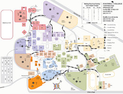
Foothill College Campus Map
Campus map of Foothill College in Los Altos Hills, CA for 2008-2009.
170 miles away
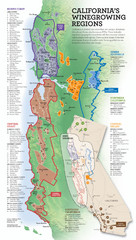
California Wine Map
Wine region map of state of California. Shows 100 American Viticultural Areas (AVAs). There are 4...
170 miles away

Arastradero Preserve Map
Trail map of Arastradero Preserve shows 10.25 miles of trails.
171 miles away
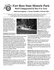
Fort Ross State Historic Park Campground Map
Map of park with detail of trails and recreation zones
171 miles away
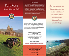
Fort Ross State Historic Park Map
Map of park with detail of trails and recreation zones
171 miles away
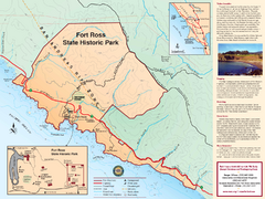
Fort Ross State Historic Park Map
Map of park with detail of trails and recreation zones
171 miles away
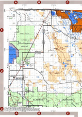
Modoc National Forest Map
Forest Visitor Map of the western most part of Modoc National Park. Includes county boundaries...
171 miles away
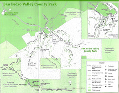
San Pedro Valley County Park Map
Trail map of San Pedro Valley County Park. 1,100 acre park with miles of trails and waterfall...
171 miles away
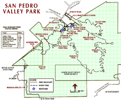
San Pedro Valley Park Map
Park map of San Pedro Valley County Park in San Mateo County, California.
171 miles away

