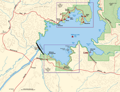
Millerton Lake State Recreation Area SW Map
Map of SW region of park with detail of trails and recreation zones
161 miles away
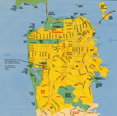
San Francisco City Map
City map of San Francisco with Lowell High School highlighted
161 miles away
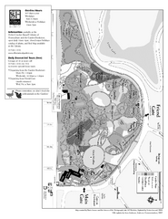
San Francisco Botanical Garden Map
Overview map of the San Francisco Botanical Garden in Golden Gate Park, San Francisco
161 miles away
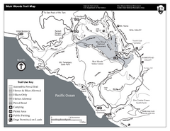
Muir Woods Trail Map
Black and white trail map of Muir Woods National Monument and surrounding Mount Tamalpais State...
161 miles away
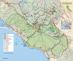
Mount Tamalpais State Park Map
Topographic trail map of Mt Tamalpais State Park in Marin County, California.
162 miles away
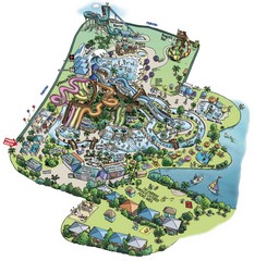
Raging Waters San Jose Map
Simple map of this fun water park for the whole family!
162 miles away
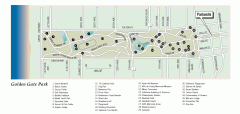
Golden Gate Park tour map
Map of Golden Gate Park in San Francisco in California. Shows all points of interest, picnic areas...
162 miles away

Millerton Lake State Recreation Area Park Map
Map of park with detail of trails and recreation zones
162 miles away
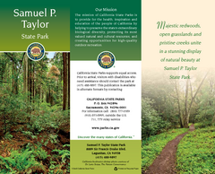
Samuel P. Taylor State Park Map
Map of park with detail of trails and recreation zones
162 miles away
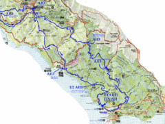
Golden Gate Headlands 50k Course Map
Here is a map of the 31-mile course for the Golden Gate Headlands: USATF National 50K Trail...
162 miles away
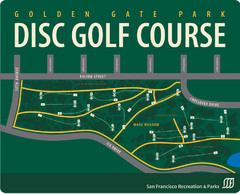
Golden Gate Park Disc Golf Course Map
Disc golf course map of 18-hole course in Golden Gate Park, San Francisco, CA. Officially opened...
162 miles away
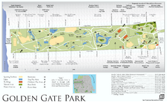
Golden Gate Park Map
Overview map of Golden Gate Park in San Francisco, CA
162 miles away
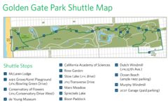
Golden Gate Park Shuttle Map
Shows shuttle stops in Golden Gate Park, SF.
162 miles away
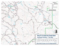
Henry W. Coe State Park, Dowdy Ranch Map
Henry W. Coe State Park Southeast Entrance Trail Map.
162 miles away
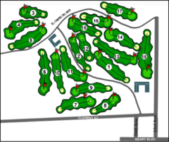
Lincoln Park Golf Course Map
162 miles away
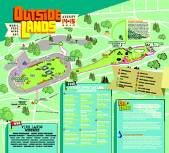
Outside Lands Festival Map 2010
Official Outside Lands Festival map 2010. Held Aug 14-15, 2010 in Golden Gate Park, San Francisco
162 miles away
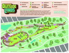
San Francisco Outside Lands Music Festival Map
Official 2008 map of the Outside Lands Music & Arts Festival in Golden Gate Park, San Francisco...
162 miles away

Sierra High Route Map
Guide to the Sierra High Route, one of the most challenging treks in the Sierras
162 miles away
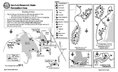
San Luis Reservoir State Recreation Area...
Map of campground region of park and reservoir with detail of trails and recreation zones
162 miles away

San Luis Reservoir State Recreation Area Map
Map of park and reservoir with detail of trails and recreation zones
162 miles away
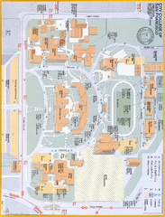
City College of San Francisco - Ocean Campus Map
City College of San Francisco - Ocean Campus Map. All buildings shown.
163 miles away
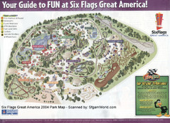
Six Flags Great America Map
163 miles away
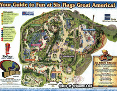
Six Flags Great America Map
163 miles away
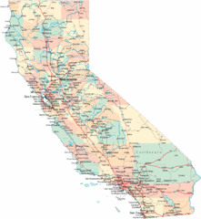
California Road Map
163 miles away
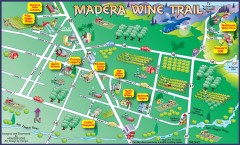
Madera wine map
Tourist map of Madera, California showing Madera Vinters and area wineries.
163 miles away
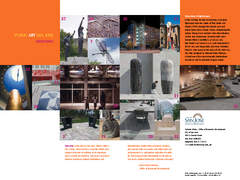
Public Art in Downtown San Jose, California Map
Shows locations of public art in downtown San Jose, California, as well as public transportation...
164 miles away
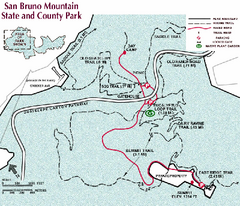
San Bruno Mountain Park Map
Park map of San Bruno Mountain State and County Park. Shows trails in northwest part of park.
164 miles away
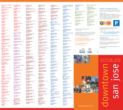
Walking Guide to Downtown San Jose, California Map
Tourist walking map of downtown San Jose, California. Lists and shows locations of dining, art...
164 miles away
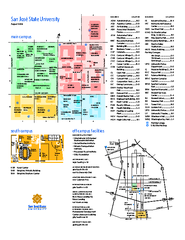
San Jose State University Map
Campus Map of San Jose State University in California. All buildings are shown.
164 miles away

Motorcycle Parking in Downtown San Jose...
Motorcycle parking map of downtown San Jose, California. Shows locations and inventory of parking...
164 miles away
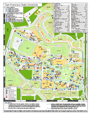
San Francisco State University Map
Campus map of San Francisco State University. All areas shown.
164 miles away
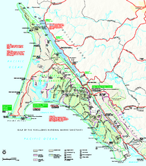
Point Reyes National Seashore Map
Official NPS map of Point Reyes National Seashore in Marin County, California. Shows trails, roads...
164 miles away
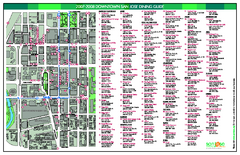
Dining in Downtown San Jose, California Map
Map of dining opportunities in downtown San Jose, California. Shows locations and telephone numbers...
164 miles away

Palo Alto Baylands Nature Preserve Map
Map of the Palo Alto Baylands Nature Preserve in Palo Alto, CA. Shows trails, including part of...
164 miles away
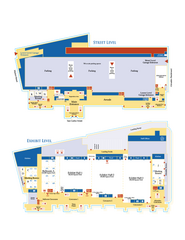
McEnery Convention Center, San Jose, California...
Floorplan map of McEnery Convention Center in San Jose, California.
164 miles away
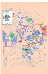
Downtown San Jose, California Map
Tourist map of downtown San Jose, California. Museums, theaters, parks, and other points of...
164 miles away
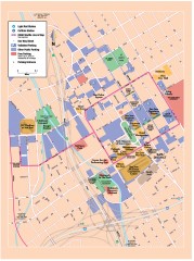
San Jose Downtown map
San Jose sowntown street map showing public transportation and parking.
164 miles away
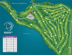
Harding Park Golf Course Map
Course map of Harding Park Golf Course in San Francisco, CA. 18 hole, par 70 course
164 miles away

San Jose, California City Map
164 miles away
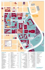
Santa Clara University Campus Map
Campus map of Santa Clara University
164 miles away

