
Mt. La Crosse Ski Trail Map
Trail map from Mt. La Crosse.
199 miles away
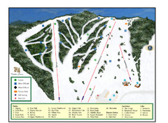
Pine Mountain Resort Ski Trail Map
Trail map from Pine Mountain Resort.
199 miles away
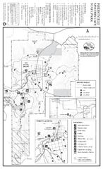
Forestville/Mystery Cave State Park Winter Map
Winter map of park with detail of trails and recreation zones
201 miles away
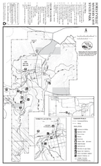
Forestville/Mystery Cave State Park Map
Map of park with detail of trails and recreation zones
201 miles away
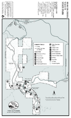
Beaver Creek Valley State Park Map
Map of park with detail of trails and recreation zones
202 miles away
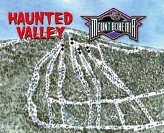
Mount Bohemia Haunted Valley Ski Trail Map
Trail map from Mount Bohemia.
203 miles away
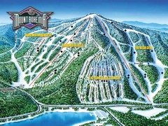
Mount Bohemia Frontside Ski Trail Map
Trail map from Mount Bohemia.
203 miles away
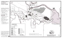
Upper Sioux Agency State Park Summer Map
Summer seasonal map of park with detail of trails and recreation zones
204 miles away
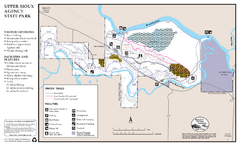
Upper Sioux Agency State Park Winter Map
Winter seasonal map of park with detail of trails and recreation zone
204 miles away
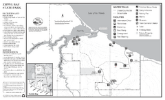
Zippel Bay State Park Winter Map
Winter seasonal map of park with detail of trails and recreation zones
205 miles away
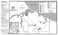
Zippel Bay State Park Summer Map
Summer seasonal map of park with detail of trails and recreation zones
205 miles away
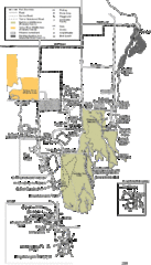
Buckhorn State Park Map
Hiking trails and fun locations marked on this map.
207 miles away
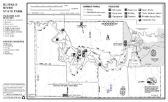
Buffalo River State Park Map
Map of park with detail of trails and recreation zones
207 miles away
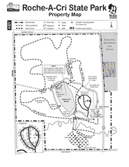
Roche A Cri State Park Map
Marked hiking trails for this State Park easily read on this map.
208 miles away
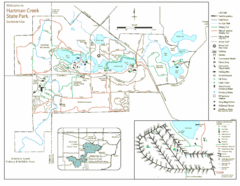
Hartman Creek State Park Map
208 miles away
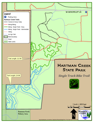
Hartman Creek State Park - Single Track Bike...
208 miles away
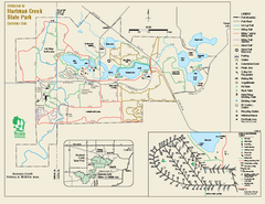
Hartman Creek State Park map
Detailed recreation map for Hartman Creek State Park in Wisconsin
208 miles away
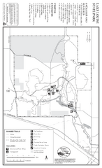
Lake Louise State Park Map
Map of park with detail of trails and recreation zones
209 miles away
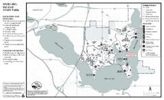
Myre-Big Island State Park Summer Map
Summer seasonal map of park with detail of trails and recreation zones
209 miles away
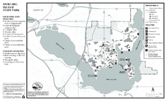
Myre-Big Island State Park Winter Map
Winter seasonal map of park with detail of trails and recreation zones
209 miles away
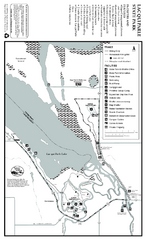
Lac Qui Parle State Park Map
Map of park with detail of trails and recreation zones
210 miles away
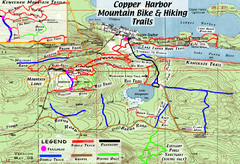
Copper Harbor Trail Map
Guide to mountain bike and hiking trails of Copper Harbor
210 miles away
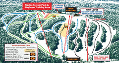
Norway Mountain Ski Trail Map
Trail map from Norway Mountain.
210 miles away
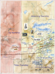
Ishpeming Trail Map
Trail and road map for Ishpeming and surrounding area
212 miles away
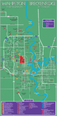
Wahpeton and Breckenridge City Map
City map of Wahpeton, North Dakota and Breckenridge, Minnesota. Shows motels, education...
215 miles away
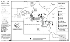
Hayes Lake State Park Summer Map
Summer season map of park with detail of trails and recreation zones
215 miles away
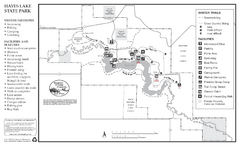
Hayes Lake State Park Winter Map
Winter season map of park with detail of trails and recreation zones
215 miles away
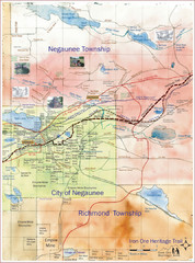
Negaunee Trail Map
Trail and street map of Negaunee are
215 miles away
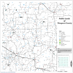
Public Lands of Waupaca County Map
217 miles away
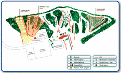
Nordic Mountain Ski Trail Map
Trail map from Nordic Mountain.
217 miles away
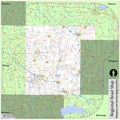
Regional Road Map of Waupaca County, Wisconsin
218 miles away
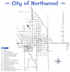
Northwood City Map
City map of Northwood, Iowa with key of churches, parks, and other points of interest.
220 miles away
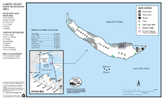
Garden Island State Recreation Area Map
Map of park with detail of trails and recreation zones
223 miles away
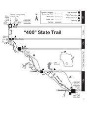
400 State Trail Map
Long and beautiful trail through Wisconsin's finest.
223 miles away
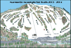
Marquette Mountain Ski Trail Map
Trail map from Marquette Mountain.
223 miles away
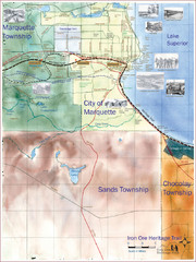
Marquette Trail Map
Trail and road map of Marquette and surrounding area
224 miles away

Ontario Regional Trail Committee Boundaries Map
Sources: TCT, DMTI Spatial., MNR Projection: UTM, NAD83. Produced by the TCT in Montreal, October...
229 miles away
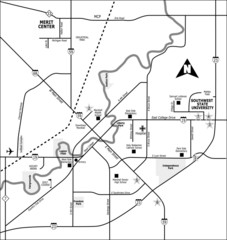
City of Marshall Visitor's Map
City of Marshall Visitor's Map describes the location of basic needs as well as recreational...
229 miles away
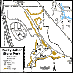
Rocky Arbor State Park Map
Detailed map of parking, water, ledges and boundaries for Rocky Arbor.
230 miles away

Christmas Mountain Village Ski Trail Map
Trail map from Christmas Mountain Village.
231 miles away

