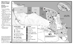
Frontenac State Park Winter Map
Map of park with detail of trails and recreation zones
140 miles away
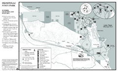
Frontenac State Park Summer Map
Map of park with detail of trails and recreation zones
140 miles away

Welch Village Ski Area Ski Trail Map
Trail map from Welch Village Ski Area, which provides downhill, night, and terrain park skiing. It...
140 miles away
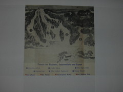
Val Chatel Ski Trail Map
Trail map from Val Chatel, which provides downhill and nordic skiing. This ski area opened in 1953.
144 miles away
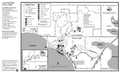
Lake Bemidji State Park Summer Map
Summer seasonal map of park with detail of trails and recreation zones
145 miles away

Lake Bemidji State Park Winter Map
Winter seasonal map of park with detail of trails and recreation zones
145 miles away
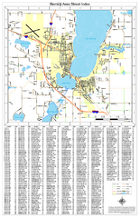
Bemidji Street Map
Street map of the Bemidji, Minnesota area
146 miles away
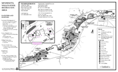
Minnesota Valley State Recreation Area Map
Map of recreation area with detail of trails and recreation zones
150 miles away
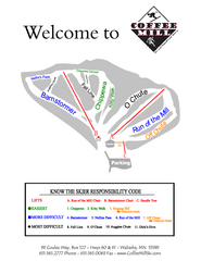
Coffee Mill Ski Trail Map
Trail map from Coffee Mill.
151 miles away
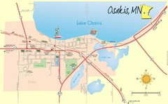
Osakis City Map
A quaint city on the shore of a beautiful lake.
152 miles away

St. Olaf College Map
Campus map of St. Olaf College
152 miles away
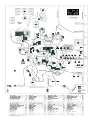
St. Olaf College Map
Campus map of St. Olaf College with index
152 miles away
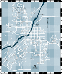
Northfield Street Map
Street map of Northfield, Minnesota
153 miles away

Buena Vista Ski Area Frontside Ski Trail Map
Trail map from Buena Vista Ski Area.
153 miles away

Buena Vista Ski Area Backside Ski Trail Map
Trail map from Buena Vista Ski Area.
153 miles away
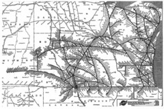
Chicago & North Western Line Railroad System...
C&NW map circa 1909
153 miles away
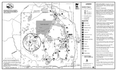
Itasca State Park Winter Map
Winter seasonal map of park with detail of trails and recreation zones
153 miles away
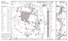
Itasca State Park Summer Map
Map of park with detail of trails and recreation zones
153 miles away
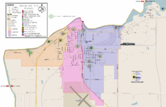
International Falls City Map
City map of International Falls, Minnesota. Shows playgrounds and other points of interest.
154 miles away
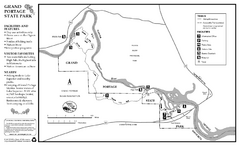
Grand Portage State Park Map
Map of park with detail of trails and recreation zones
156 miles away
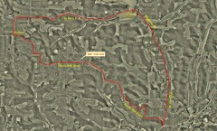
Bike Race Map Blank Hill Road
River Valley Cycling Club Course Map & Elevation Chart
156 miles away
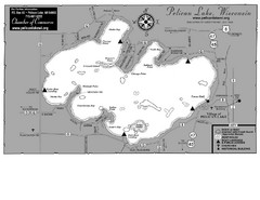
Pelican Lake Map
Lake map of Pelican Lake, Wisconsin. 3585 acres.
157 miles away
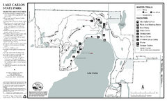
Lake Carlos State Park Winter Map
Winter seasonal map of park with detail of trails and recreation zones
158 miles away
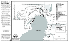
Lake Carlos State Park Summer Map
Summer seasonal map of park with detail of trails and recreation zones
159 miles away

Big Bog State Park Map
Map of park with detail of trails and recreation zones
159 miles away

Bruce Mound Ski Area Ski Trail Map
Trail map from Bruce Mound Ski Area.
159 miles away
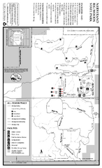
Nerstrand-Big Woods State Park Map
map of park with detail of trails and recreation zones
159 miles away
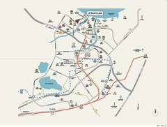
Stratum Condominium in Singapore Map
Stratum Condominium in Singapore offers great units and facilities to all their clients. With high...
161 miles away
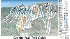
Granite Peak Ski Trail Map
Official ski trail map of Granite Peak ski area from the 2004-2005 season.
162 miles away
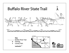
Buffalo River State Trail Map
Detailed map of excited hike through nature's finest.
162 miles away

Granite Peak Ski Trail Map
Trail map from Granite Peak.
162 miles away
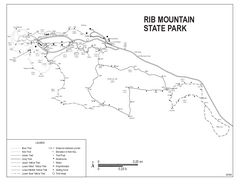
Rib Mountain State Park Map
Simple state park map with nice hiking trails.
162 miles away

Spicer City Map
City map of Spicer, Minnesota with visitor's information
163 miles away
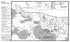
Sibley State Park Winter Map
Winter seasonal map of park with detail of trails and recreation zones
164 miles away
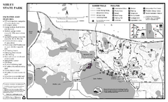
Sibley State Park Summer Map
map of park with detail of trails and recreation zones
164 miles away
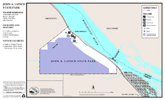
John A. Latsch State Park Map
Map of park with detail of trails and recreation zones
165 miles away
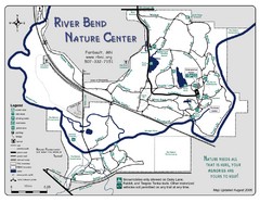
River Bend Nature Center Map
165 miles away
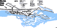
Merrick State Park Map
Beautiful hikes around the waterfront.
166 miles away

Map of Armenia and Nagorny Karabakh
Map of Armenian states - the Republic of Armenia and the Nagorno-Karabakh Republic
167 miles away

