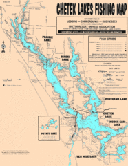
Chetek Lakes Fishing Map
Fishing map of the Chetek Lakes region
84 miles away

Trollhaugen Ski Area Ski Trail Map
Trail map from Trollhaugen Ski Area.
86 miles away
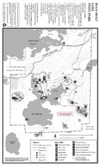
Bear Head Lake State Park Map
Map of park with detail of trails and recreation zones
87 miles away
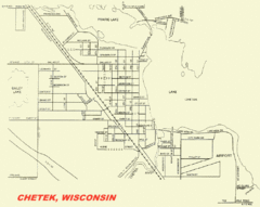
Chetek City Map
City map of Chetek, Wisconsin
87 miles away
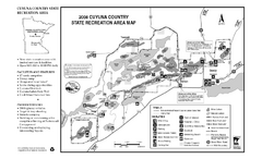
Cuyuna Country State Recreation Area Map
Map of park with detail of trails and recreation zones
88 miles away
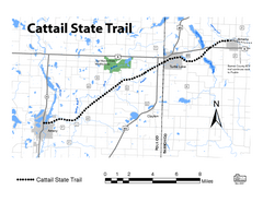
Cat Tail State Trail Map
Map marking trails, bike routes, shelter, toilets and more.
88 miles away
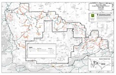
Superior National Forest Map
Echo Trail in Superior National Forest
89 miles away
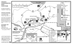
Soudan Underground Mine State Park Map
map of park with detail of trails and recreation zones
89 miles away

Whitecap Mountains Ski Trail Map
Trail map from Whitecap Mountains.
90 miles away
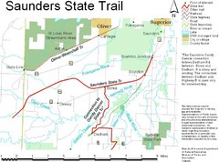
Saunders State Trail Map
Points of interest, lakes, roads, forests and more are marked on this map's key.
90 miles away
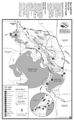
McCarthy Beach State Park Winter Map
Winter seasonal map of park with detail of trails and recreation zones
91 miles away
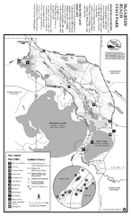
McCarthy Beach State Park Summer Map
Summer seasonal map of park with detail of trails and recreation zones
91 miles away
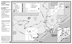
Temperance River State Park Map
map of park with detail of trails and recreation zones
92 miles away
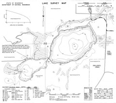
Fireside Lake Survey Map
Survey of Lake and surrounding areas done by State of Wisconsin Department of Natural Resources
92 miles away
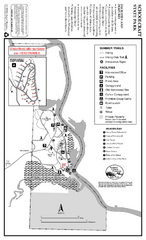
Schoolcraft State Park Map
map of park with detail of trails and recreation zones
93 miles away

Lookout Mountain Lookout Mt Ski Trail Map
Trail map from Lookout Mountain. This ski area opened in 1958.
93 miles away

William O'Brien State Park Map
map of park with detail of trails and recreation zones
96 miles away

Big Powderhorn Mountain, Map
Trail map for Big Powderhorn, taken from their website in Jan 2008
97 miles away

Big Powderhorn Mountain Ski Trail Map
Trail map from Big Powderhorn Mountain.
97 miles away
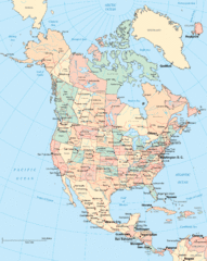
North America Map
Political map of North America. Shows states in US and provinces in Canada
97 miles away
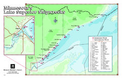
Minnesota's Lake Superior Shipwrecks Map
Guide to Lake Superior shipwrecks in Minnesota
98 miles away

Blackjack Ski Resort Ski Trail Map
Trail map from Blackjack Ski Resort.
101 miles away

Lutsen Mountains Ski Trail Map
Trail map from Lutsen Mountains, which provides downhill and terrain park skiing. It has 10 lifts...
101 miles away

Indianhead Mountain Resort Ski Trail Map
Trail map from Indianhead Mountain Resort.
102 miles away
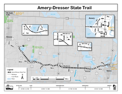
Ammery Dresser Trail Map
Easy to follow trail map.
104 miles away
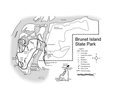
Brunet Island State Park Map
Easy to read legend.
105 miles away
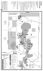
Scenic State Park Summer Map
Summer seasonal map of park with detail of trails and recreation zones
106 miles away
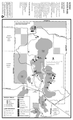
Scenic State Park Winter Map
Winter seasonal map of park with detail of trails and recreation zones
106 miles away
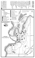
Crow Wing State Park Map
Map of park with detail of trails and recreation zones
107 miles away

Willow River State Park Map
Easily read map with detailed markings.
109 miles away
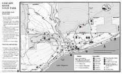
Cascade River State Park Map
Map of park with detail of trails and recreation zones
110 miles away
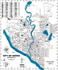
Anoka City Map
City Map of Anoka, Minnesota
111 miles away

Porcupine Mountain Ski Trail Map
Trail map from Porcupine Mountain.
113 miles away
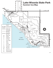
Lake Wissota State Park Map
Easy hiking along the beautiful water front.
115 miles away
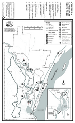
Charles A. Lindbergh State Park Map
Map of park with detail of trails and recreation zones
116 miles away
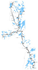
Paul Bunyan Trail Map
117 miles away

Chippewa Valley Trail System Map
Multiple trails and hiking routes in the Chippewa Valley.
118 miles away
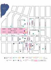
Uptown Art Walk, Minneapolis - St. Paul...
119 miles away
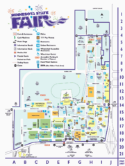
Minnesota State Fair Map
Event map of the Minnesota State Fair Fairgrounds in St. Paul, Minnesota
119 miles away
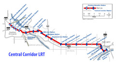
Central Corridor Light Rail in Twin Cities Region...
New Light Rail in Twin Cities Region
120 miles away

