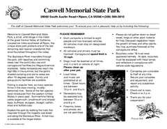
Caswell Memorial State Park Campground Map
Map of park with detail of trails and recreation zones
0 miles away
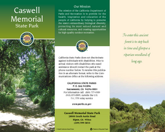
Caswell Memorial State Park Map
Map of park with detail of trails and recreation zones
2 miles away
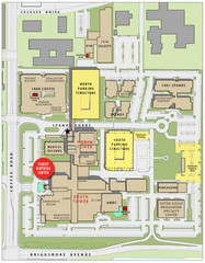
Memorial Medical Center Map
12 miles away
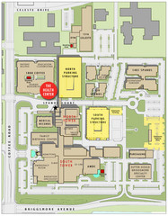
Memorial Medical Center Map
12 miles away

Geographic Subdivisions in California Map
12 miles away
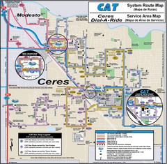
Ceres, CA Transportation Map
15 miles away
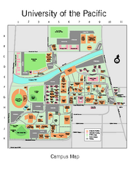
University of the Pacific Stockton Campus Map
Campus map of University of the Pacific, Stockton, California campus
19 miles away
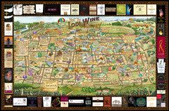
Lodi Valley Wine Map & Visitors Guide
A great source for information about the Lodi Wineries and our valleys rich Wine Region
29 miles away

Mount Whitney Route Map
30 miles away
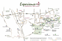
Livermore Valley Wine Map
Map showing the wineries in the Livermore Valley of California.
32 miles away
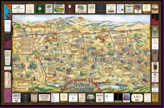
Livermore Winery Tour Map
Livermore Valley Wine Map & Visitors Guide - A great source for information about the Livermore...
32 miles away
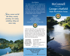
McConnell State Recreation Area Map
Map of park with detail of trails and recreation zones
33 miles away

Turlock Lake State Recreation Area Campground Map
Map of campground region of recreation area with detail of trails and recreation zones
33 miles away
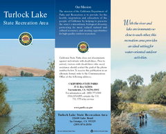
Turlock Lake State Recreation Area Map
Map of recreation area with detail of trails and recreation zones
33 miles away
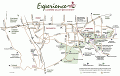
Livermore Valley Wineries, California Map
Map of wineries in Livermore Valley, California. Shows wineries, olive groves, and preserved land.
37 miles away
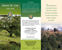
Henry W. Coe State Park Map
Map of park with detail of trails and recreation zones
38 miles away
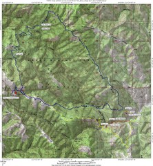
Henry Willard Coe State Park Topographical Map
Topographical map of Henry Willard Coe State Park. Includes roads, elevation information and some...
38 miles away
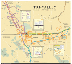
Tri Valley Transportation and Road Map
The Tri Valley cities roads and routes.
38 miles away
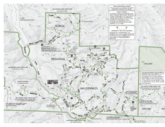
Sunol Regional Wilderness Trail Map - West
Trail map of western portion of Sunol Regional Wilderness in Sunol, California.
38 miles away
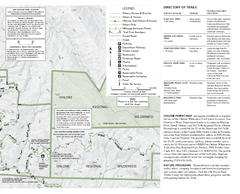
Sunol Regional Wilderness Trail Map - East
Trail map of eastern portion of Sunol Regional Wilderness in Sunol, California.
38 miles away
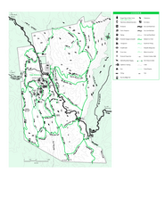
Joseph D. Grant County Park Map
Trail map of Joseph D Grant County Park in Santa Clara County, California
38 miles away
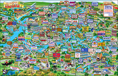
California Delta Boaters Map & Visitors Guide
Map of the California Delta, the Most Current, Legible and Unique Delta Navigation Map to date. Our...
39 miles away
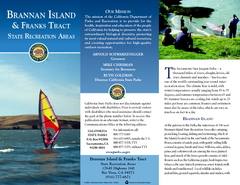
Brannan Island & Franks Tract State...
Map of park with detail of trails and recreation zones
39 miles away
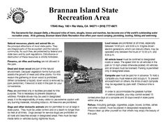
Brannan Island Campground Map
Map of park with detail of trails and recreation zones
39 miles away
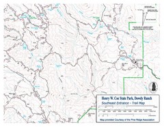
Henry W. Coe State Park, Dowdy Ranch Map
Henry W. Coe State Park Southeast Entrance Trail Map.
40 miles away
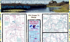
California Delta Maps Map
FISH "N" MAP of the California Delta. Navigation Map with GPS Locations. Printed on...
41 miles away
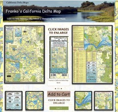
California Delta Maps Map
The "BEST" Navigational Maps of the California Delta. Franko's California...
41 miles away
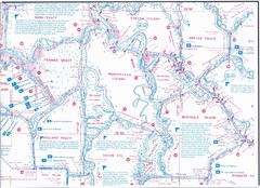
California Delta Maps/Fish "N" Map
The Delta including Suisun Bay, Sacramento & San Joaquin Rivers 10 Foot Underwater Depth...
41 miles away
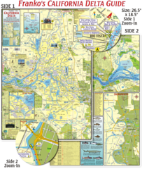
California Delta Maps Map
The "BEST" California Delta Boating, Navigation & Visitors Maps. Printed on Rip-Proof...
41 miles away
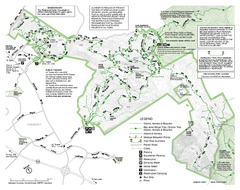
Mission Peak Preserve Map
Park map of Mission Peak Regional Preserve in Fremont, California. Topo map shows trails and trail...
41 miles away
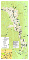
Pleasanton Ridge Regional Park Map
42 miles away
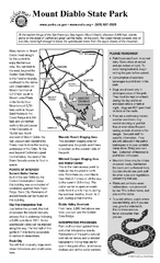
Mount Diablo State Park Campground Map
Map of park with detail of trails and recreation zones
42 miles away
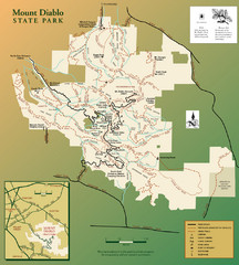
Mt. Diablo State Park Map
Trail map of Mt. Diablo State Park near Walnut Creek, CA
42 miles away
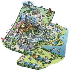
Raging Waters San Jose Map
Simple map of this fun water park for the whole family!
44 miles away
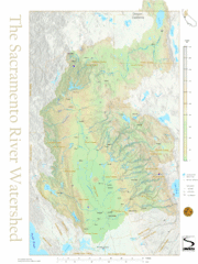
Sacramento River Watershed Map
The map shows, rivers, cities, counties, and roads surrounding the Sacramento River.
44 miles away
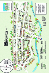
Walking Map of Downtown Danville, California
Tourist walking map of downtown Danville, California. Shows restaurants, shops, visitor's...
45 miles away
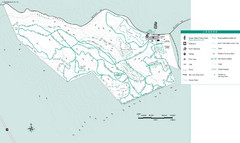
Motorcycle County Park Map
Map of Motorcycle County Park in Santa Clara County near San Jose, California. Shows all park...
45 miles away

San Luis Reservoir State Recreation Area Map
Map of park and reservoir with detail of trails and recreation zones
45 miles away
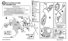
San Luis Reservoir State Recreation Area...
Map of campground region of park and reservoir with detail of trails and recreation zones
45 miles away
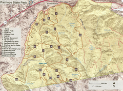
Pacheco State Park Trail Map
Map of park with details of different trails
46 miles away

