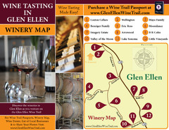
Glen Ellen Wine Tasting Map
46 miles away
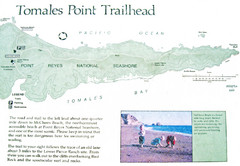
Tomales Point Trail Map
Map of the trail to Tomales Point in Point Reyes National Seashore, California. Also shows trail...
46 miles away
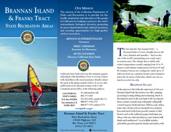
Brannan Island & Franks Tract State...
Map of park with detail of trails and recreation zones
47 miles away
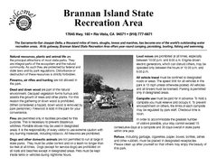
Brannan Island Campground Map
Map of park with detail of trails and recreation zones
47 miles away
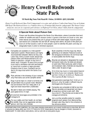
Henry Cowell Redwoods State Park Campground Map
Map of campground region of park with detail of trails and recreation zones
47 miles away
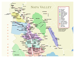
Napa County Wineries, California Map
Map of wineries in Napa County, California. Shows wineries and appellations.
48 miles away
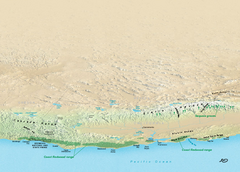
California Redwood Range Map
NPS prospective map of the coastal redwoord range in California, extending from Santa Cruz north to...
49 miles away
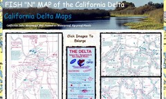
California Delta Maps Map
FISH "N" MAP of the California Delta. Navigation Map with GPS Locations. Printed on...
49 miles away
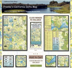
California Delta Maps Map
The "BEST" Navigational Maps of the California Delta. Franko's California...
49 miles away
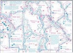
California Delta Maps/Fish "N" Map
The Delta including Suisun Bay, Sacramento & San Joaquin Rivers 10 Foot Underwater Depth...
49 miles away
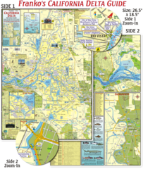
California Delta Maps Map
The "BEST" California Delta Boating, Navigation & Visitors Maps. Printed on Rip-Proof...
49 miles away
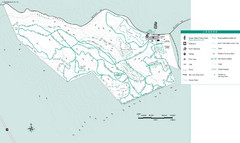
Motorcycle County Park Map
Map of Motorcycle County Park in Santa Clara County near San Jose, California. Shows all park...
49 miles away
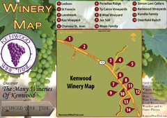
Kenwood Wine Tasting Map
49 miles away
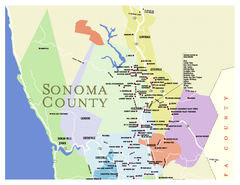
Wineries in Sonoma County, California Map
Map of winery locations in Sonoma County, California. Shows wineries, tasting rooms, and valleys of...
49 miles away
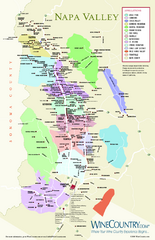
Napa Valley Wine Map
Wine map of Napa Valley, Napa, California. Shows all vineyards and shading by appellations from...
49 miles away
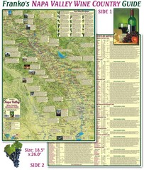
Napa Valley Wine Country Guide Map
Map of the Napa Valley Wine Country. With over 250 local Wineries listed. Printed on waterproof...
50 miles away
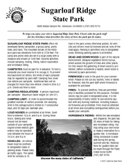
Sugarloaf Ridge State Park Campground Map
Map of park with detail of trails and recreation zones
51 miles away
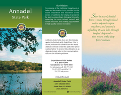
Annadel State Park Map
Map of park with detail of trails and recreation zones
51 miles away
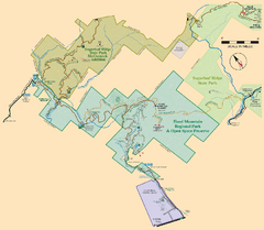
Hood Mountain Regional Park Map and Sugarloaf...
Park map of Hood Mountain Regional Park and Open Space Preserve and Sugarloaf Ridge State Park in...
52 miles away
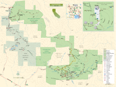
Sugarloaf Ridge State Park Map
Trail map of Sugarloaf Ridge State Park
52 miles away
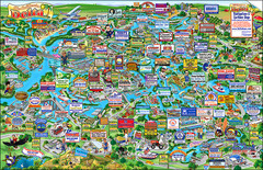
California Delta Boaters Map & Visitors Guide
Map of the California Delta, the Most Current, Legible and Unique Delta Navigation Map to date. Our...
52 miles away
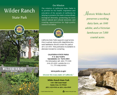
Wilder Ranch State Park Map
Map of park with detail of trails and recreation zones
53 miles away
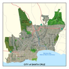
Santa Cruz City Limits Map
Map shows the city limits boundries of Santa Cruz, California
54 miles away

Sebastopol Map
Map of Sebastopol and surrounding towns.
54 miles away

Santa Cruz, California City Map
54 miles away
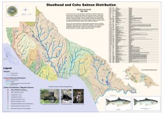
Steelhead and Coho Salmon Distribution Map...
Shows the current distribution of steelhead and resident rainbow trout and coho salmon in Santa...
54 miles away
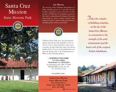
Santa Cruz Mission State Historic Park Map
Map of park and mission
54 miles away
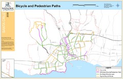
Santa Cruz, CA Bike Map
55 miles away
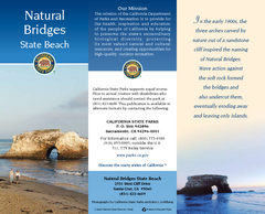
Natural Bridges State Beach Map
Map of beach and park with detail of trails and recreation zones
55 miles away
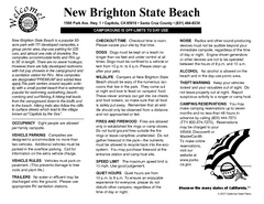
New Brighton State Beach Campground Map
Map of campground region of beach/park with detail of trails and recreation zones
56 miles away
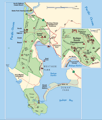
Bodega Bay Park Map
Park map of the Sonoma Coast State Beach park lands in Bodega Bay, California. Shows roads, trails...
56 miles away
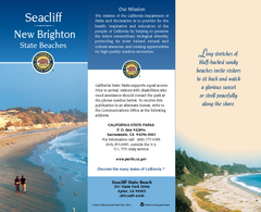
Seacliff & New Brighton State Beaches Map
Map of beaches and parks with detail of trails and recreation zones
57 miles away
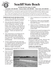
Seacliff State Beach Campground Map
Map of campground region of beach and park with detail of trails and recreation zones
57 miles away
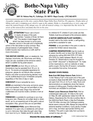
Bothe-Napa Valley State Park Map
Map of park with detail of of trails and recreation zones
58 miles away

Greater Lake Berryessa Region Tourist Map
Tourist map of the Lake Berryessa region in Napa, California
60 miles away
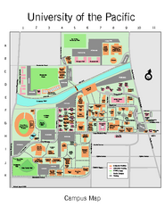
University of the Pacific Stockton Campus Map
Campus map of University of the Pacific, Stockton, California campus
61 miles away
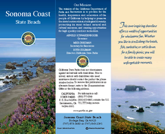
Sonoma Coast State Beach Map
Map of beach and park with detail of trails and recreation zones
62 miles away

Lake Berryessa Map
Lake Berryessa Recreational Map, Napa County, California
63 miles away

Lake Berryessa Recreation Map
Lake Berryessa Recreational Map, Napa County, California
63 miles away
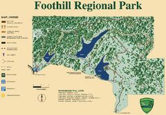
Foothill Regional Park Map
Park map of Foothill Regional Park in Sonoma County, California. Shows trails and 3 lakes.
63 miles away

