
1895 San Francisco Bay Area Map
Guide to the San Francisco Bay Area in 1895
16 miles away
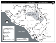
Muir Woods Trail Map
Black and white trail map of Muir Woods National Monument and surrounding Mount Tamalpais State...
16 miles away
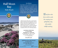
Half Moon Bay State Beach Map
Map of beach with detail of trails and recreation zones
17 miles away
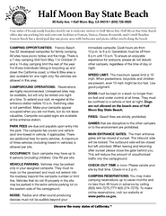
Half Moon Bay State Beach Campground Map
Map of beach with detail of trails and recreation zones
17 miles away
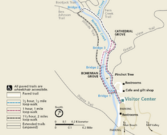
Muir Woods Trail Map
Shows paved loop walks and extended unpaved trails in Muir Woods National Monument, California
17 miles away
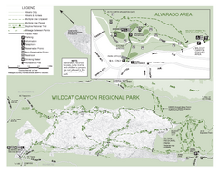
Wildcat Canyon Regional Park Map
17 miles away
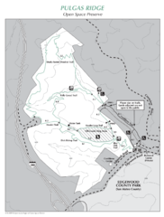
Pulgas Ridge Open Space Preserve Map
Trail map of Pulgas Ridge Open Space Preserve. 366 acres and 6 miles of trails
17 miles away
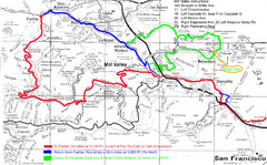
Alpine Dam Seven Sisters Road Bike Route Map...
Road biking route map for the classic Alpine Dam/Seven Sisters loop in Marin County from San...
17 miles away
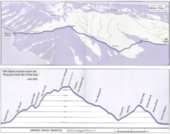
Dipsea Race Course Map
Course map of the annual Dipsea Trail Run Race. Shows birds-eye view and elevation profile of the...
17 miles away
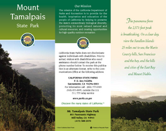
Mount Tamalpais State Park Map
Map of park with detail of trails and recreation zones
18 miles away
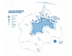
Lafayette Reservoir Recreation Area Map
18 miles away
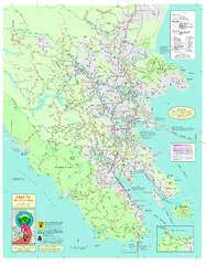
Marin Bicycle Map - Side A
Bike route map of Marin County, California. Shows primary and secondary road routes, paved and...
18 miles away
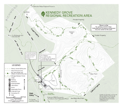
Kennedy Grove Recreation Area Trail Map
222-acre park
18 miles away
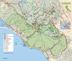
Mount Tamalpais State Park Map
Topographic trail map of Mt Tamalpais State Park in Marin County, California.
18 miles away
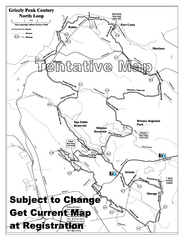
Grizzly Peak Century North Loop Route Map
Road bike route map of the north loop in the Grizzly Peak Century Ride. From site: "The...
18 miles away
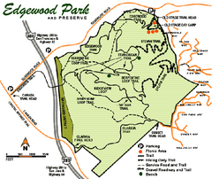
Edgewood County Park Trail Map
Trail map of Edgewood Park and Preserve in Redwood City, California.
18 miles away
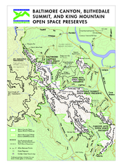
Blithedale Summit Open Space Preserve Map
Trail map of Blithedale Summit Open Space Preserve, Baltimore Canyon Open Space Preserve, and King...
18 miles away
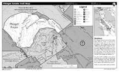
Phleger Estate Trail Map
Trail map of Phleger Estate, part of the Golden Gate National Recreation Area, in Woodside...
19 miles away
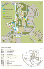
Cañada College Campus Map
Campus map of Cañada College, Redwood City, CA. Shows buildings.
19 miles away
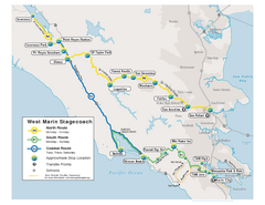
West Marin Bus Map
Bus route map of West Marin Stagecoach. Shows routes to Inverness, Point Reyes Station, Olema...
19 miles away
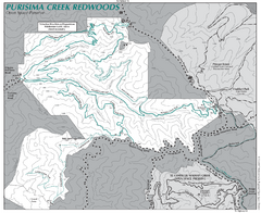
Purisima Open Space Preserve Map
Trail map of Purisima Open Space Preserve. Shows all mountain biking, hiking, and horseback riding...
19 miles away
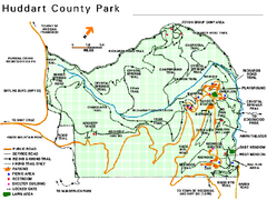
Huddart County Park Map
Trail map of Huddart County Park near Woodside, California.
20 miles away
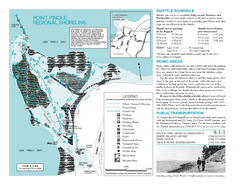
Point Pinole Regional Shoreline Map
20 miles away
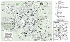
Briones Regional Park Trail Map
Trail map of Briones Regional Park in East Bay.
21 miles away
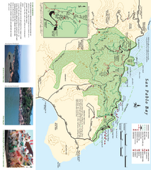
China Camp State Park Map
Trail map of China Camp State Park. Shows trails by use type and all park facilities.
21 miles away
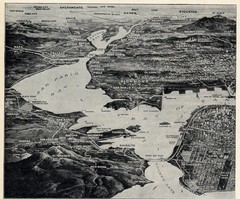
1936 San Francisco Bay Area Map Part 1
Guide to the San Francisco Bay Area in 1936, hand drawing over photograph
21 miles away

China Camp State Park Map
Map of park with detail of trails and recreation zones
21 miles away
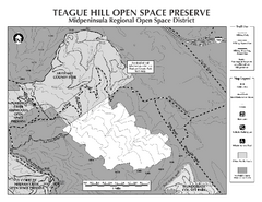
Teague Hill Open Space Preserve Map
Trail map of Teague Hill Open Space Preserve near Woodside, California. Only one trail enters a...
21 miles away

Southern Golden Gate National Recreation Map
21 miles away
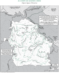
El Corte de Madera Open Space Preserve Map
Trail map of El Corte de Madera Open Space Preserve. Shows all mountain biking, hiking, and...
22 miles away
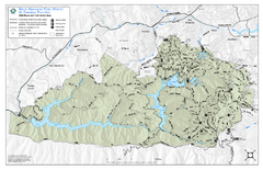
Mt. Tamalpais Watershed Trail Map
Shows roads and trails in the 18,500 Mt. Tamalpais Watershed near Fairfax, California.
22 miles away

Santa Margarita Island, Santa Venetia Marsh, and...
Park map of Santa Margarita Island Open Space Preserve, Santa Venetia Marsh Open Space Preserve...
22 miles away
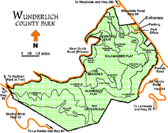
Wunderlich County Park Map
Trail map of Wunderlich County Park near Woodside, California. "The Alambique Trail offers a...
22 miles away
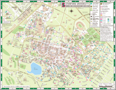
Stanford University Map
A map of the Stanford University campus.
23 miles away
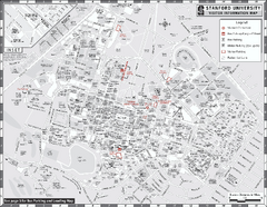
Stanford University Map
Stanford University Campus Map. All buildings shown.
23 miles away
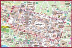
Cardinal Walk Map
Map of Stanford University campus with Cardinal Walk detail
23 miles away
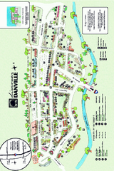
Walking Map of Downtown Danville, California
Tourist walking map of downtown Danville, California. Shows restaurants, shops, visitor's...
23 miles away
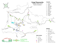
Tamarancho Map
23 miles away
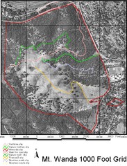
Mt. Wanda Aerial Trail Map
Trail map of Mt. Wanda area in the John Muir National Historic Site.
23 miles away
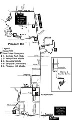
Pleasant Hill, CA Map
23 miles away

