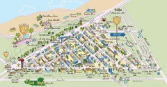
Beverly Hills, California Map
Tourist map of Beverly Hills, California. Shopping, restaurants, lodging and points of interest are...
336 miles away
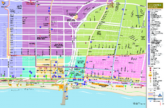
Santa Monica, California Map
Tourist map of Santa Monica, California, showing lodging, museums, visitor centers, and other...
336 miles away
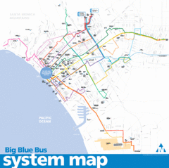
Big Blue Bus System Map
336 miles away
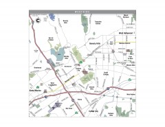
Westside Los Angeles, California Map
Tourist map of the Westside area of Los Angeles, California. Museums, parks, the UCLA campus, and...
337 miles away
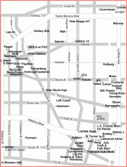
West Hollywood Art Gallery map
Art Gallery map of West Hollywood in Los Angeles
337 miles away
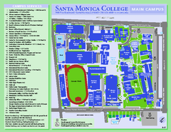
Santa Monica College Campus Map
Santa Monica College Campus Map. Shows all buildings.
337 miles away
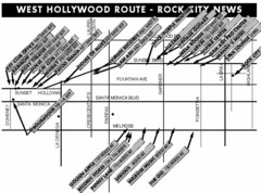
West Hollywood - Rock City News Map
Nightclubs, record stores, tattoo shops, etc.
337 miles away
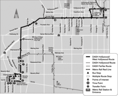
West Hollywood Area DASH Bus Routes Map
337 miles away
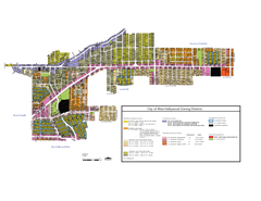
West Hollywood Zoning Map 10/08/09
337 miles away
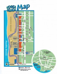
Venice Beach map
Map of Venice Beach. Shows streets and parking spots, as well as the Marina Pacific Hotel.
337 miles away
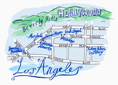
Los Angeles - hand drawn map
illustrated hand-drawn map produced for British airways - First Life magazine.
338 miles away
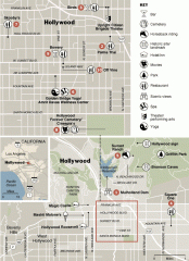
Hollywood map
Walking tour map of Hollywood, California, showing restaurants, shopping, and points of interest.
338 miles away
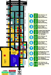
Downtown Glendale, California Map
Tourist map of downtown Glendale, California. Locations of retail, restaurants, entertainment and...
338 miles away
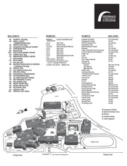
Glendale Community College Campus Map
Glendale Community College Campus Map. Shows all buildings.
338 miles away
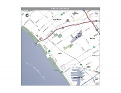
North Beach Cities, Los Angeles, California Map
Tourist map of the North Beach cities near Los Angeles, California. Beaches, shopping, and a...
338 miles away
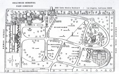
Hollywood Memorial Cemetery map
Map of Hollywood memorial Cemetery, showing celebrity gravesites.
338 miles away
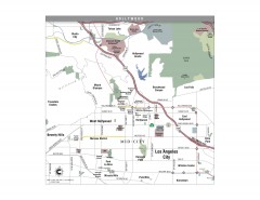
Hollywood, California Map
Tourist map of Hollywood, California. Museums, parks, visitor centers and media centers are shown...
339 miles away
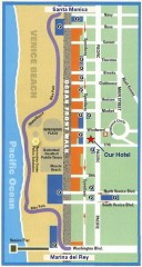
Venice Beach map
Walking map for Venice Beach in Los Angeles, California.
339 miles away
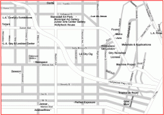
Hollywood, Silverlake, and Echo Park gallery map
Art Gallery map of Hollywood, Silverlake, and Echo Park in Los Angeles, California
340 miles away
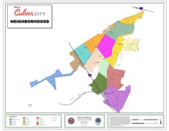
Culver City Neighborhood Map
Map shows official neighborhood zones of Culver City, California
340 miles away
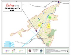
Culver City Map
General city map of Culver City, California. Shows the city boundary, schools, parks and other...
340 miles away
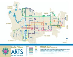
Pasadena ARTS (Area Rapid Transit System) Map
Pasadena A.R.T.S. (Metro) Route Map. System map of all train routes, streets and surrounding...
340 miles away
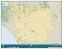
Ballona Wetlands Map
The Ballona Creek watershed, approximately 130 square miles, is the largest watershed draining into...
341 miles away
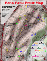
Elysian Park Fruit Map
Shows fruit growing in Elysian Park, Los Angeles (map erroneously calls it Echo Park)
341 miles away
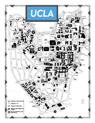
University of California - Los Angeles Map
Campus Map of the University of California - Los Angeles. All buildings shown.
342 miles away
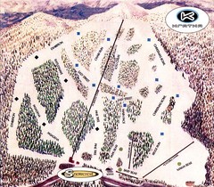
Kratka Ridge Ski Trail Map
Trail map from Kratka Ridge.
342 miles away
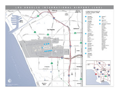
Los Angeles International Airport Area Map
Map of the Los Angeles International Airport (LAX) and surrounding area. Inset shows location of...
343 miles away
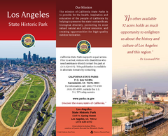
Los Angeles State Historic Park Map
Map of park with detail of trails and recreation zones
343 miles away

Downtown L.A. walking tour map
Walking tour map of Downtoan Los Angeles near the Civic Center, including the Arts District.
343 miles away
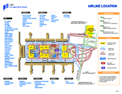
Los Angeles International Airport Terminal Map
Official Map of LAX International Airport in Los Angeles. Shows all areas.
343 miles away
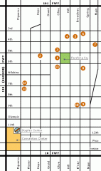
Downtown L.A. arts tour map
Self-Guided walking tour map of Downtown Los Angeles with a focus on the arts
343 miles away

Downtown Los Angeles, California Map
Tourist map of Downtown Los Angeles, California. Shows theaters, museums, public transportation and...
343 miles away
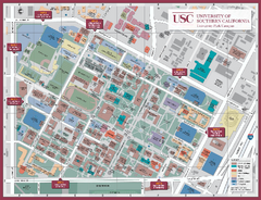
University of Southern California Map
Campus Map of the University of Southern California. All buildings shown.
343 miles away
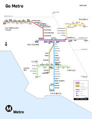
Los Angeles Metro Rail system map
Official map of the LA Metro Rail system. Comprised of the Metro Blue, Green, Red, Purple and Gold...
343 miles away
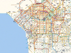
West Los Angeles Starbucks & Chase Map
343 miles away
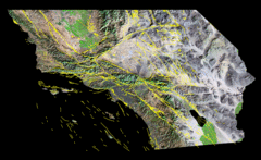
Southern California's Major Faults Map
As you can see by examining a fault map of southern California or a satellite image showing...
343 miles away
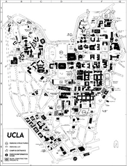
UCLA Map
343 miles away
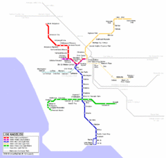
Los Angeles Train Map
343 miles away
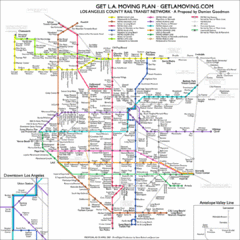
Los Angeles, California Public Transportation Map
343 miles away
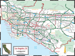
Los Angeles, California Transportation Map
343 miles away

