
John Muir Trail Elevation Map
Profile, Elevation, Landmarks and Mileage for the John Muir Trail entertainment not accurate enough...
155 miles away
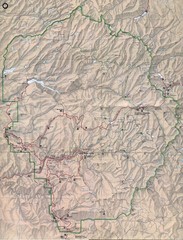
Yosemite National Park Map
Yosemite National Park Map. Shows location of all hiking trails, camp grounds, visitor center and...
155 miles away
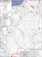
Tahoe Rim Trail: Kingsbury South to Big Meadows...
Topographic hiking map of the Kingsbury South-Big Meadows leg of the Tahoe Rim Trail. Shows...
155 miles away
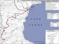
Tahoe Rim Trail: Barker Pass to Tahoe City Map
Topographic hiking map of the Barker Pass-Tahoe City leg of the Tahoe Rim Trail. Shows trailheads...
155 miles away
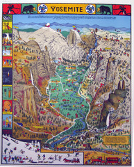
Yosemite National Park Visitor Map
Colorful Visitor Map of Yosemite National Park. Illustrates location of hiking trails, camp...
155 miles away
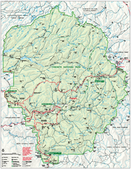
Yosemite National Park official map
Official park map showing trails, roads, campgrounds, ranger stations, parking, picnic areas, and...
155 miles away
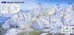
Squaw Valley USA Ski Trail Map
Trail map from Squaw Valley USA, which provides downhill, night, nordic, and terrain park skiing...
155 miles away
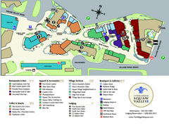
Squaw Valley Base Village Map
Village map of base of Squaw Valley Ski Resort, Lake Tahoe, California. Shows all restaurants...
155 miles away
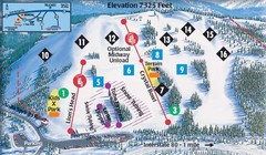
Soda Springs Ski Trail Map
Trail map from Soda Springs, which provides downhill and terrain park skiing. It has 2 lifts...
155 miles away
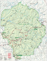
Yosemite National Park Map
Detailed Park Map of Yosemite National Park. Includes all camping areas, trails, roads...
155 miles away
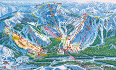
Sugar Bowl Resort Ski Trail Map
Trail map from Sugar Bowl Resort, which provides downhill and terrain park skiing. It has 12 lifts...
156 miles away
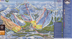
Sugar Bowl Ski Trail Map
Ski trail map of Sugar Bowl ski area from the 2008-09 season. Scanned.
156 miles away
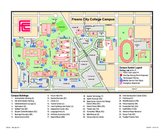
Fresno City College Campus Map
Fresno City College Campus Map. Shows all areas.
157 miles away
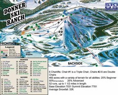
Donner Ski Ranch Ski Trail Map
Trail map from Donner Ski Ranch, which provides downhill and terrain park skiing. It has 6 lifts...
157 miles away
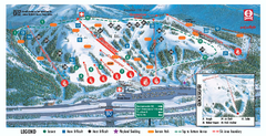
Boreal Ski Trail Map
Official ski trail map of Boreal ski area
157 miles away
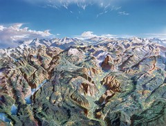
Yosemite oblique Map
Oblique Panorama map of Yosemite National Park
157 miles away
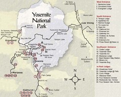
Yosemite National Park Map
157 miles away
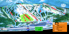
Boreal Mountain Resort Ski Trail Map
Trail map from Boreal Mountain Resort, which provides downhill, night, and terrain park skiing. It...
157 miles away
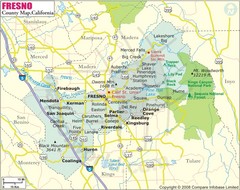
Fresno, California City Map
158 miles away
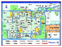
California State University - Fresno Map
California State University - Fresno Campus Map. All areas shown.
158 miles away
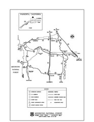
Mendocino National Forest map
Map of the Nome Cult Trail Walk in the Mendocino National Forest.
158 miles away
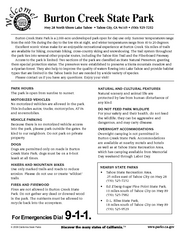
Burton Creek State Park Map
Map of park with detail of trails and recreation zones
158 miles away
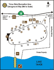
Tahoe State Recreation Area Campground Map
Map of park with detail of trails and recreation zones
158 miles away

Yosemite Valley Park Map
Guide Map of the Yosemite National Forest
158 miles away

Millerton Lake State Recreation Area Park Map
Map of park with detail of trails and recreation zones
158 miles away
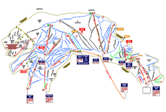
Heavenly Ski Resort Ski Trail Map
Trail map from Heavenly Ski Resort, which provides downhill, nordic, and terrain park skiing. It...
159 miles away
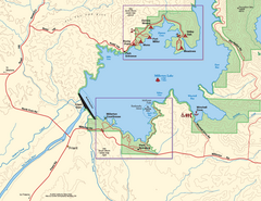
Millerton Lake State Recreation Area SW Map
Map of SW region of park with detail of trails and recreation zones
159 miles away
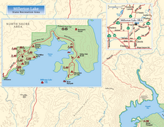
Millerton Lake State Recreation Area NW Map
Map of NW region of park with detail of trails and recreation zones
159 miles away

Millerton Lake State Recreation Area NE Map
Map of NE region of park with detail of trails and recreation zones
159 miles away
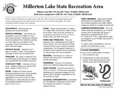
Millerton Lake State Recreation Area Campground...
Map of campground region of park with detail of trails and recreation zones
159 miles away
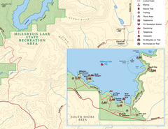
Millerton Lake State Recreation Area SE Map
Map of SE region of park with detail of trails and recreation zones
159 miles away
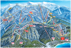
Heavenly Valley Ski Trail Map
Official ski trail map of Heavenly Valley ski area from the 2007-2008 season.
159 miles away
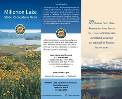
Millerton Lake State Recreation Area Map
Map of park with detail of trails and recreation zones
159 miles away
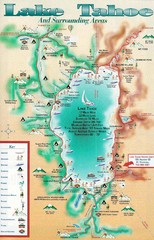
Lake Tahoe and nearby activities Map
Lake Tahoe and nearby resorts and activities
160 miles away
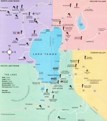
Lake Tahoe Area, California Map
Recreation map of Lake Tahoe, California. Points of interest shown include golfing, skiing, and...
160 miles away
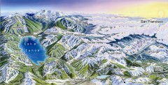
Lake Tahoe Ski Resort map
Winter map of Lake Tahoe showing relative position of all ski resorts. South-facing view. Created...
160 miles away

Digital Elevation Model Satellite Tahoe Map
Digital Elevation Models
160 miles away
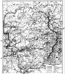
1931 Yosemite National Park Map
Yosemite National Park Map with trails and elevations
160 miles away
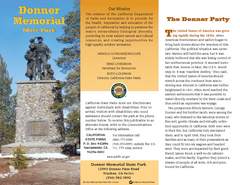
Donner Memorial State Park Map
Map of park with detail of trails and recreation zones
161 miles away


