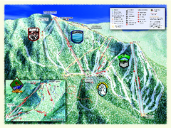
Sierra-at-Tahoe Ski Trail Map
Trail map from Sierra-at-Tahoe, which provides downhill and terrain park skiing. It has 12 lifts...
146 miles away
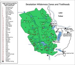
Desolation Wilderness Permits Zone Map
Zone and trailhead map of the Desolation Wilderness near Lake Tahoe, California. Use to figure out...
146 miles away
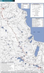
Tahoe Rim Trail: Echo Lake to Barker Pass Map
Topographic hiking map of the Echo Lake-Barker Pass leg of the Tahoe Rim Trail. Shows pedestrian...
147 miles away
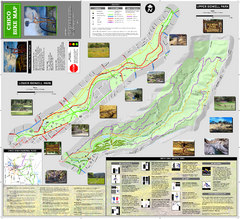
Upper and Lower Bidwell Park Bike Map
Bike map of Upper Bidwell Park and Lower Bidwell Park in Chico, California
147 miles away

California Counties Map
147 miles away

Granite Chief Wilderness Map
Trail map of Granite Chief Wilderness in Lake Tahoe region. Shows trails (inlcuding Pacific Crest...
148 miles away
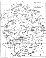
Yosemite Park Map (before development)
Map of Yosemite Park before valley development, showing only Portal Road
149 miles away
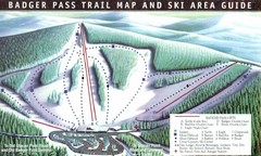
Badger Pass Ski Trail Map
Official ski trail map of Badger Pass ski area
149 miles away
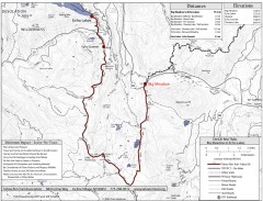
Tahoe Rim Trail: Big Meadow to Echo Lake Map
Topographic hiking map of the Big Meadow-Echo Lake leg of the Tahoe Rim Trail. Bike and pedestrian...
151 miles away
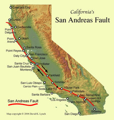
San Andreas Fault, California Map
151 miles away
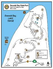
Emerald Bay State Park Campground Map
Map of park with detail of trails and recreation zones
151 miles away
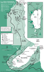
Emerald Bay State Park and DL Bliss State Park...
Trail map of Emerald Bay State Park and DL Bliss State Park on the shores of Lake Tahoe, California
152 miles away
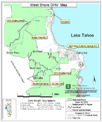
West Shore Lake Tahoe Off-highway Vehicle Map
Off-highway vehicle map of the West Shore of Lake Tahoe. Roads open to motorcycles, ATVs, and 4x4s...
152 miles away

Sugar Pine Point State Park South Map
Map of southern region of park with detail of trails and recreation zones
152 miles away
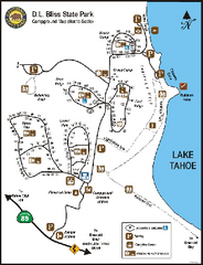
D.L. Bliss State Park Campground Map
Map of park with detail of trails and recreation zones
152 miles away
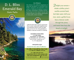
D.L. Bliss State Park Map
Map of park with detail of trails and recreation zones
152 miles away
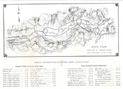
Yosemite Valley Auto Tour Map
Auto tour guide map of Yosemite, 1937
152 miles away
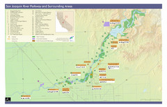
San Joaquin River Parkway Map
Map of the San Joaquin River Parkway. "The San Joaquin River Parkway is a mosaic of parks...
152 miles away
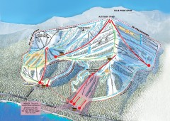
Homewood Ski Trail Map
Official ski trail map of Homewood ski area from the 2007-2008 season.
152 miles away
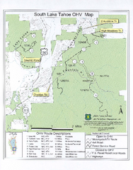
South Lake Tahoe Off-Highway Vehicle Map
Off-Highway Vehicle Map of South Lake Tahoe, California. Shows roads open to motorcycles, ATVs, and...
152 miles away
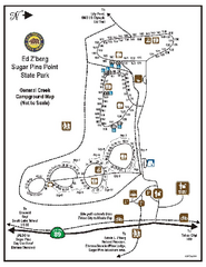
Sugar Pine Point State Park Campground Map
Map of campground region of park with detail of trails and recreation zones
153 miles away
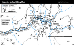
Yosemite Valley Trail Map
Trail map of hiking trails in Yosemite Valley, Yosemite National Park, California.
153 miles away
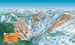
Alpine Meadows Ski Trail Map (Front)
Official ski trail map of Alpine Meadows ski area from the 2005-2006 season.
153 miles away
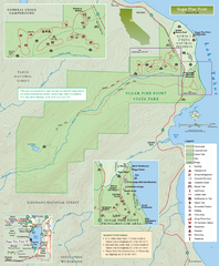
Sugar Pine Point State Park Map
Map of park with detail of trails and recreation zones
153 miles away
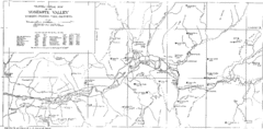
Yosemite Valley Map
Map of the valley and key elevations
153 miles away
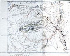
Proposed Yosemite National Park Map 1890
John Muir's map of proposed Yosemite National Park, California. Green is the original 1864...
153 miles away

Yosemite National Park Guide Map
Guide map of Yosemite National Park
153 miles away
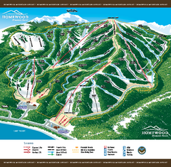
Homewood Mountain Resort Ski Trail Map
Trail map from Homewood Mountain Resort, which provides downhill and terrain park skiing. It has 7...
153 miles away
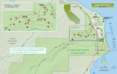
Sugar Pine Point State Park North Map
Map of northern region of park with detail of trails and recreation zones
153 miles away
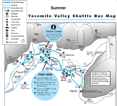
Yosemite Valley Shuttle Map
153 miles away
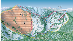
Alpine Meadows Ski Area Backside Ski Trail Map
Trail map from Alpine Meadows Ski Area, which provides downhill and terrain park skiing. It has 13...
154 miles away
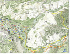
Half Dome view from Glacier Point Map
154 miles away
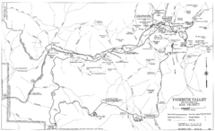
Yosemite Valley Automobile Guide Map 1963
Yosemite Valley and Vicinity with Elevations
154 miles away
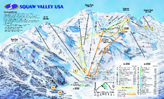
Squaw Valley USA Trail Map
Trail map of Squaw Valley ski area in Lake Tahoe, California
154 miles away
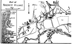
Yosemite Village Guide Map
154 miles away
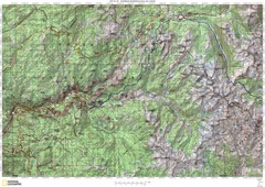
Island Pass to Yosemite Village Topo Map
154 miles away
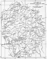
1914 Yosemite National Park Map
154 miles away
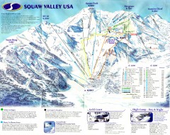
Squaw Valley Ski Trail Map
Scan of ski trail map of Squaw Valley ski area from the 2000-2001 season.
154 miles away
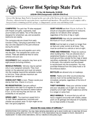
Grover Hot Springs State Park Campground Map
Map of park with detail of trails and recreation zones
154 miles away
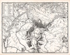
Yosemite National Park Map
Map of Yosemite National Park, 1948
155 miles away

