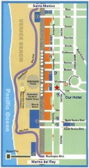
Venice Beach map
Walking map for Venice Beach in Los Angeles, California.
61 miles away
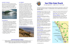
San Elijo State Beach Campground Map
Map of campground region of beach and park with detail of trails and recreation zones
61 miles away
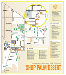
Palm Desert Shopping Map
Visitor map/shopping guide of Palm Desert
61 miles away
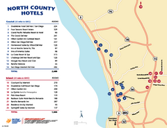
North County San Diego Tourist Map
Tourist map of North County area of San Diego, with hotel listings
61 miles away
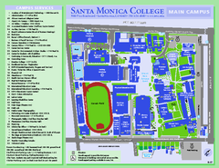
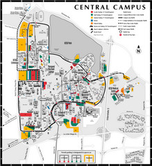
Santa Monica College Campus Map
Santa Monica College Campus Map. Shows all buildings.
61 miles away
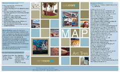
Art Trek Tour Map, Santa Monica, California
Art Trek tour map of 93 of the 120+ museums, art galleries and public displays in Santa Monica...
61 miles away
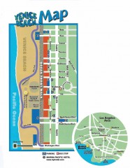
Venice Beach map
Map of Venice Beach. Shows streets and parking spots, as well as the Marina Pacific Hotel.
62 miles away
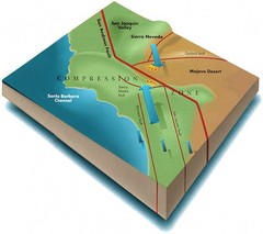
Southern California Compressional Fold Belts Map
Diagram of southern California showing the San Andreas Fault as a master player in a tectonic...
62 miles away
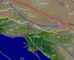
Southern California Fault Lines Map
The red line on this map of southern California is the San Andreas fault. Other lines represent...
62 miles away
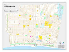
Santa Monica City Map
City map of Santa Monica, California
62 miles away
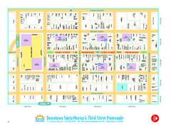
Downtown Santa Monica walking map
Detailed tourist map of Downtown Santa Monica and the Third Street Promenade in Los Angeles...
62 miles away
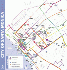
Big Blue Bus Lines in Downtown Santa Monica...
Map of bus lines serving downtown Santa Monica, California. Also shows points of interest such as...
62 miles away
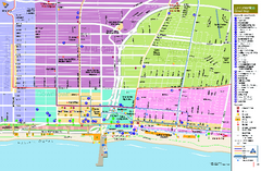
Santa Monica, California Map
Tourist map of Santa Monica, California, showing lodging, museums, visitor centers, and other...
62 miles away
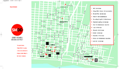
Design District, Santa Monica, California Map
Map of modern design showrooms in downtown Santa Monica, California.
62 miles away
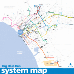
Big Blue Bus System Map
62 miles away
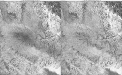
Toro Peak Elevation Map
Created with PALSAR Technology.
63 miles away
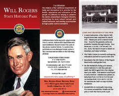
Will Rogers State Historic Park Map
Map of park with detail of trails and recreation zones
64 miles away
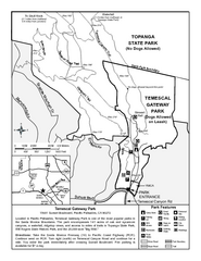
Temescal Canyon Trail Map
Trail map of Temescal Gateway Park, Temescal Canyon, and adjoining section of Topanga State Park...
65 miles away
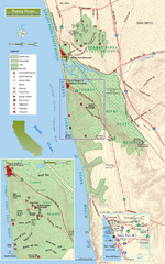
Torrey Pines State Beach and Reserve Map
Topo map of Torrey Pines State Beach and Reserve near San Diego, CA. Rated the #9 beach in America...
68 miles away
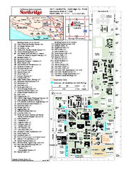
California State University at Northridge Map
Campus Map of the California State University at Northridge. All buildings shown.
68 miles away
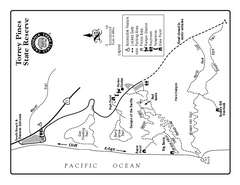
Torrey Pines State Reserve Trail Map
Map of park with detail of trails and recreation zones
68 miles away
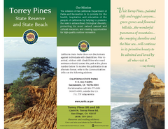
Torrey Pines State Park Map
Map of park with detail of trails and recreation zones
68 miles away
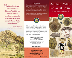
Antelope Valley State Park Map
Map of park with detail of of trails and recreation zones
69 miles away
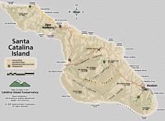
Santa Catalina Island road and trail map
Shows all roads, trails, and campgrounds on Santa Catalina Island.
69 miles away
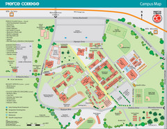
Pierce College Campus Map
Pierce College Campus Map. Located in Woodland Hills, California. Shows all areas.
70 miles away
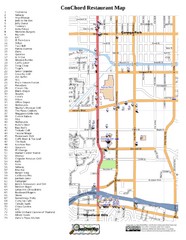
Woodland Hills, California Restaurant Map
71 miles away
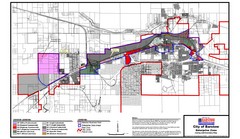
City of Barstow Zoning Map
Map illustrates the zoning and boundary areas of the city of Barstow.
71 miles away
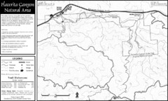
Placerita Canyon Trail Map
72 miles away
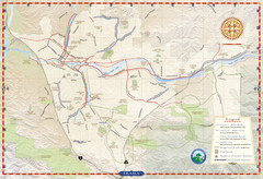
Santa Clarita Trail Map
73 miles away
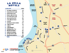
La Jolla Tourist Map
Tourist map of La Jolla, with hotel listings
73 miles away
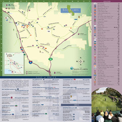
Santa Clarita Tourist Map
Tourist map of Santa Clarita, California
73 miles away
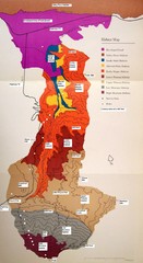
Habitat/Elevation Map of the Sant Rosa Mountains
Deep Canyon, with detailed descriptions of the major plant communities as they change with...
76 miles away
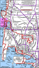
Pacific Beach, San Diego Tourist Map
76 miles away
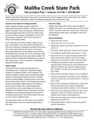
Malibu Creek State Park Campground Map
Map of campground region of park with detail of trails and recreation zones
77 miles away
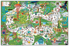
Six Flags Magic Mountain Theme Park Map
Official park map of Six Flags Magic Mountain, California.
77 miles away
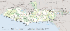
Santa Monica Mountains National Recreation Area...
Map of the entire Santa Monica Mountains National Recreation Area
77 miles away
San Diego Coast State Parks & Beaches Map
Map of state parks and beaches along the San Diego coastline
78 miles away
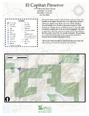
El Capitan Preserve Map
El Capitan Preserve has a view of three reservoirs from one location in the park. The park has...
78 miles away
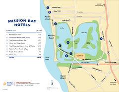
Mission Bay Tourist Map
Tourist map of the Mission Bay area of San Diego, with hotel listings
78 miles away

