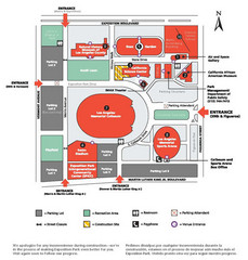
Exposotion Park Map
51 miles away
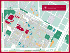
University of Southern California Campus Map
Campus map of the University Park Campus of University of Southern California (USC).
51 miles away
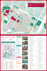
University of Southern California Map
USC campus map
51 miles away
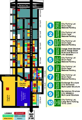
Downtown Glendale, California Map
Tourist map of downtown Glendale, California. Locations of retail, restaurants, entertainment and...
51 miles away
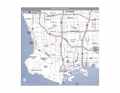
South Beach Cities, Los Angeles, California Map
Tourist map of the South Beach cities, near Los Angeles, California. Shows museums, aquariums, and...
52 miles away
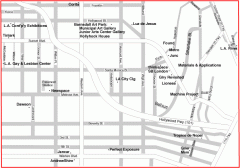
Hollywood, Silverlake, and Echo Park gallery map
Art Gallery map of Hollywood, Silverlake, and Echo Park in Los Angeles, California
52 miles away
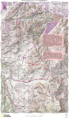
Palm Canyon Epic Trail Map
Upper Trailhead Map. Topo map marked with detail route and notes for ride.
52 miles away
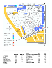
El Camino College Campus Map
El Camino College Campus map. Shows all buildings.
53 miles away
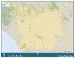
Ballona Wetlands Map
The Ballona Creek watershed, approximately 130 square miles, is the largest watershed draining into...
53 miles away
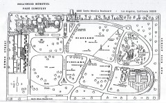
Hollywood Memorial Cemetery map
Map of Hollywood memorial Cemetery, showing celebrity gravesites.
54 miles away
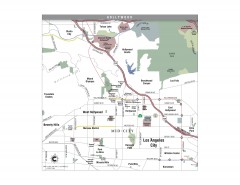
Hollywood, California Map
Tourist map of Hollywood, California. Museums, parks, visitor centers and media centers are shown...
54 miles away
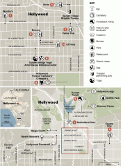
Hollywood map
Walking tour map of Hollywood, California, showing restaurants, shopping, and points of interest.
54 miles away
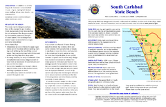
South Carlsbad State Beach Campground Map
Map of beach and park with detail of trails and recreation zones
55 miles away
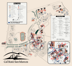
Cal State San Marcos Campus Map
Campus map of Cal State San Marcos in San Marcos, CA
55 miles away
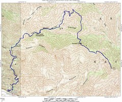
Ybarra Canyon Trail Map
Ybarra Canyon in the Angeles National Forest.
55 miles away
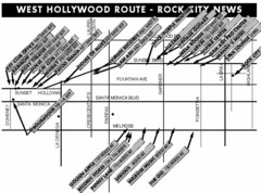
West Hollywood - Rock City News Map
Nightclubs, record stores, tattoo shops, etc.
56 miles away
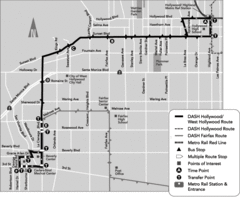
West Hollywood Area DASH Bus Routes Map
56 miles away
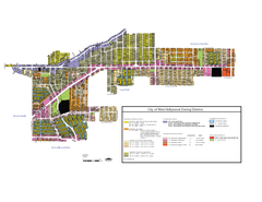
West Hollywood Zoning Map 10/08/09
56 miles away
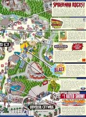
Universal Studios in Hollywood Tourist Map
Features and landmarks at Universal Studios in Hollywood, CA
56 miles away
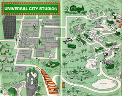
1966 Universal Studios Guide Map
56 miles away
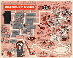
1968 Universal Studios Guide Map
A 1968tour guide map of Universal Studios
56 miles away
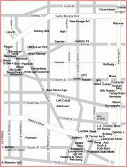
West Hollywood Art Gallery map
Art Gallery map of West Hollywood in Los Angeles
56 miles away
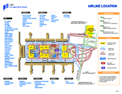
Los Angeles International Airport Terminal Map
Official Map of LAX International Airport in Los Angeles. Shows all areas.
57 miles away
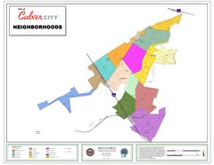
Culver City Neighborhood Map
Map shows official neighborhood zones of Culver City, California
57 miles away
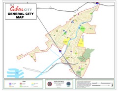
Culver City Map
General city map of Culver City, California. Shows the city boundary, schools, parks and other...
57 miles away
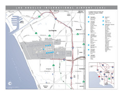
Los Angeles International Airport Area Map
Map of the Los Angeles International Airport (LAX) and surrounding area. Inset shows location of...
57 miles away
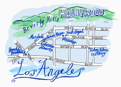
Los Angeles - hand drawn map
illustrated hand-drawn map produced for British airways - First Life magazine.
57 miles away
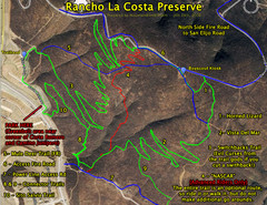
Rancho La Costa Preserve Trail Maps Map
Mountain Biking Trail Map for Rancho La Costa Preserve near San Diego.
57 miles away
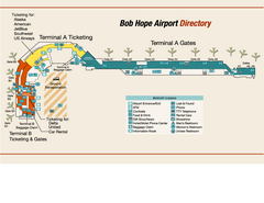
Burbank "Bob Hope" Airport Terminal Map
Official Terminal Map of Bob Hope Airport in Burbank, California. Shows all areas.
57 miles away
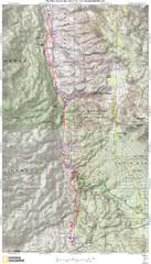
Palm Canyon Epic Map
Palm Canyon Trail - This point-to-point route takes you through a varied array of desert trails...
58 miles away
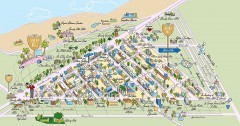
Beverly Hills, California Map
Tourist map of Beverly Hills, California. Shopping, restaurants, lodging and points of interest are...
58 miles away
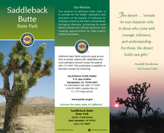
Saddleback Butte State Park Map
Map of park with detail of trails and recreation zones
58 miles away
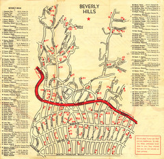
Beverly Hills stars homes map
59 miles away
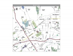
Westside Los Angeles, California Map
Tourist map of the Westside area of Los Angeles, California. Museums, parks, the UCLA campus, and...
59 miles away
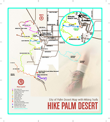
Palm Desert Hiking Trail Map
Trail map of Palm Desert, California. Shows hiking trails leaving right from town
59 miles away
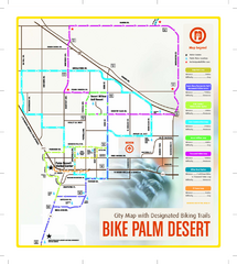
Palm Desert Biking Map
Biking route and trail map of Palm Desert, California
60 miles away

Ronald Reagan ULCA Medical Center Map
Pocket Map to the medical center campus
60 miles away

Ronald Reagan ULCA Medical Center Building Map
Pocket map to the medical center campus
60 miles away
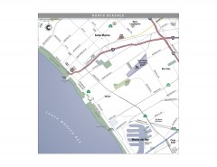
North Beach Cities, Los Angeles, California Map
Tourist map of the North Beach cities near Los Angeles, California. Beaches, shopping, and a...
60 miles away
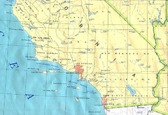
Southern California Map
60 miles away

