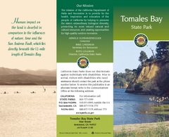
Tomales Bay State Park Map
Map of park with detail of trails and recreation zones
77 miles away
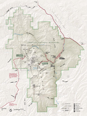
Pinnacles National Monument Map
79 miles away
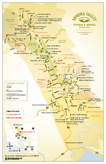
Sonoma Valley Winery Map
High quality map of Sonoma Valley wineries from the vinters and growers. Shows all key roads and...
79 miles away
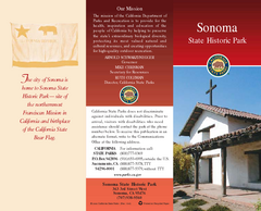
Sonoma State Historic Park Map
Map of park with detail of trails and recreation zones
79 miles away
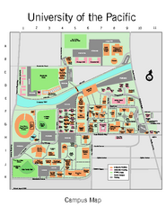
University of the Pacific Stockton Campus Map
Campus map of University of the Pacific, Stockton, California campus
79 miles away
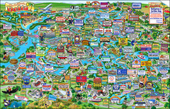
California Delta Boaters Map & Visitors Guide
Map of the California Delta, the Most Current, Legible and Unique Delta Navigation Map to date. Our...
79 miles away
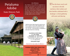
Petaluma Adobe State Historic Park Map
Map of park with detail of trails and recreation zones
79 miles away

Geographic Subdivisions in California Map
79 miles away
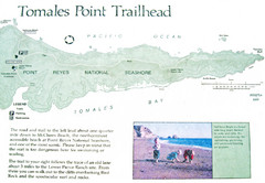
Tomales Point Trail Map
Map of the trail to Tomales Point in Point Reyes National Seashore, California. Also shows trail...
80 miles away

Montery Bay Sea Floor Map
80 miles away
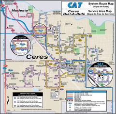
Ceres, CA Transportation Map
80 miles away
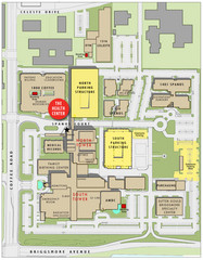
Memorial Medical Center Map
82 miles away
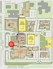
Memorial Medical Center Map
82 miles away
Jack London State Historic Park Map
Map of park with detail of trails and recreation zones
83 miles away
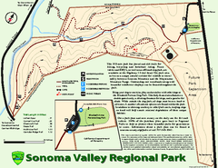
Sonoma Valley Regional Park Map
Trail map of 202 acre Sonoma Valley Regional Park.
84 miles away
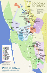
Sonoma Country Wine Map
Wine map of Sonoma, California area. Shows all vineyards.
84 miles away
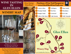
Glen Ellen Wine Tasting Map
84 miles away
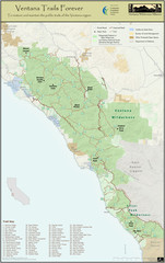
Ventana Wilderness Trails Map
Trail map of the Ventana Wilderness east of Big Sur. Also shows trails in the Silver Peak...
84 miles away
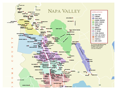
Napa County Wineries, California Map
Map of wineries in Napa County, California. Shows wineries and appellations.
86 miles away
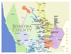
Wineries in Sonoma County, California Map
Map of winery locations in Sonoma County, California. Shows wineries, tasting rooms, and valleys of...
86 miles away
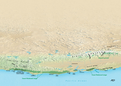
California Redwood Range Map
NPS prospective map of the coastal redwoord range in California, extending from Santa Cruz north to...
86 miles away
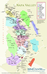
Napa Valley Wine Map
Wine map of Napa Valley, Napa, California. Shows all vineyards and shading by appellations from...
87 miles away
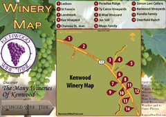
Kenwood Wine Tasting Map
87 miles away
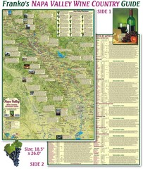
Napa Valley Wine Country Guide Map
Map of the Napa Valley Wine Country. With over 250 local Wineries listed. Printed on waterproof...
88 miles away
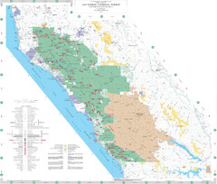
Los Padres National Forest Map - North
Overview map of the northern section of Los Padres National Forest in the Monterey Ranger District...
88 miles away
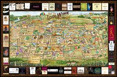
Lodi Valley Wine Map & Visitors Guide
A great source for information about the Lodi Wineries and our valleys rich Wine Region
88 miles away
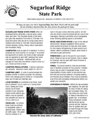
Sugarloaf Ridge State Park Campground Map
Map of park with detail of trails and recreation zones
89 miles away
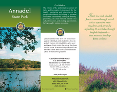
Annadel State Park Map
Map of park with detail of trails and recreation zones
89 miles away
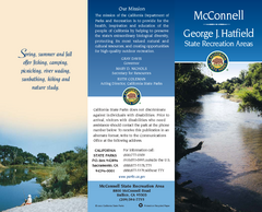
McConnell State Recreation Area Map
Map of park with detail of trails and recreation zones
90 miles away
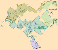
Hood Mountain Regional Park Map and Sugarloaf...
Park map of Hood Mountain Regional Park and Open Space Preserve and Sugarloaf Ridge State Park in...
90 miles away
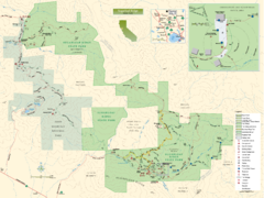
Sugarloaf Ridge State Park Map
Trail map of Sugarloaf Ridge State Park
90 miles away

Sebastopol Map
Map of Sebastopol and surrounding towns.
90 miles away
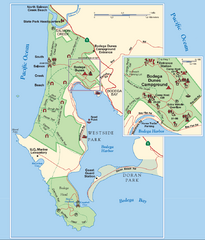
Bodega Bay Park Map
Park map of the Sonoma Coast State Beach park lands in Bodega Bay, California. Shows roads, trails...
90 miles away

Limeklin State Park Map
Map of park with detail of trails and recreation zones
91 miles away
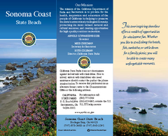
Sonoma Coast State Beach Map
Map of beach and park with detail of trails and recreation zones
96 miles away
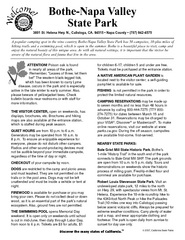
Bothe-Napa Valley State Park Map
Map of park with detail of of trails and recreation zones
96 miles away

Greater Lake Berryessa Region Tourist Map
Tourist map of the Lake Berryessa region in Napa, California
98 miles away
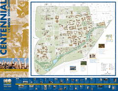
University of California Davis Campus Map
Campus map of UC Davis in Davis, California. Shows all buildings.
100 miles away
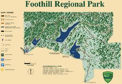
Foothill Regional Park Map
Park map of Foothill Regional Park in Sonoma County, California. Shows trails and 3 lakes.
100 miles away

Lake Berryessa Map
Lake Berryessa Recreational Map, Napa County, California
100 miles away

