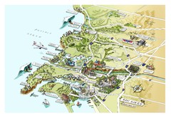
Downtown San Diego Shops Map
Legend of shops, hotels, and more in San Diego.
424 miles away
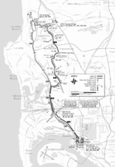
San Diego Bus Routes 50 and 150 Map
424 miles away
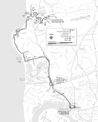
San Diego Bus Route 30 Map
424 miles away

Fire History of San Diego County Map
Fire History of San Diego County from 1900 to 1997 marked in color by years burned.
424 miles away

San Diego Historical Districts Map
City map of San Diego, California with historic district locations.
424 miles away
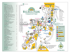
Balboa Park Map
Map of balboa Park in San Diego. Shows available parking, tram and museum locations within the...
424 miles away
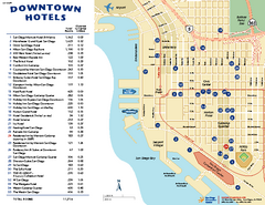
Downtown San Diego Tourist Map
Tourist map of downtown San Diego, with hotel listings
424 miles away
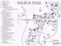
Map of Balboa Park
Map of Balboa Park in San Diego, California. Shows all points of interest within the park.
424 miles away

SeaWorld San Diego Theme Park Map
SeaWorld's San Diego Theme Park map. Take a look at all of SeaWorld's awesome exhibits...
424 miles away

Urban Neighborhood Map: San Diego Map
This Urban Neighborhood Poster of San Diego is a modern twist on traditional maps. The typography...
424 miles away

San Diego Map
424 miles away
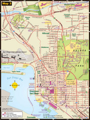
Central San Diego Tourist Map
424 miles away
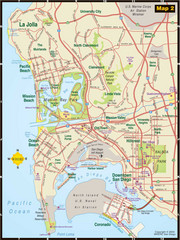
Central San Diego Tourist Map
424 miles away
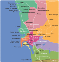
San Diego County Tourist Map
424 miles away
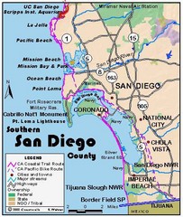
San Diego Beach Map
424 miles away
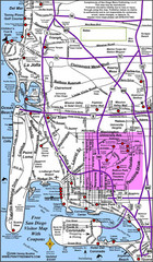
San Diego City Map
424 miles away
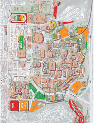
San Diego State University Map
Campus map of San Diego State University. All areas shown.
424 miles away
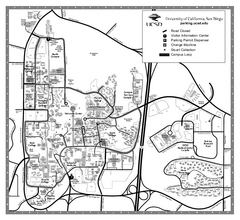
University of California at San Diego Map
University of California at San Diego Campus Map. All area's shown.
425 miles away
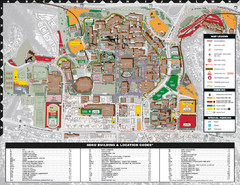
San Diego State University Map
425 miles away
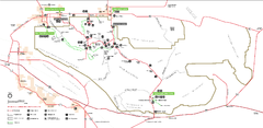
Joshua Tree National Park Official Park Map
Official NPS map of Joshua Tree National Park in California. Map shows all areas. The park is...
428 miles away
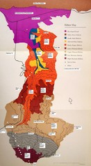
Habitat/Elevation Map of the Sant Rosa Mountains
Deep Canyon, with detailed descriptions of the major plant communities as they change with...
430 miles away
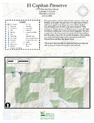
El Capitan Preserve Map
El Capitan Preserve has a view of three reservoirs from one location in the park. The park has...
431 miles away

Steens Mountain Topo Map
Topography map of the east side of Steens mountain in Oregon.
431 miles away
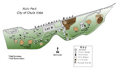
Rohr Park Map
432 miles away
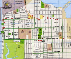
Imperial Beach, San Diego Map
433 miles away
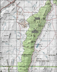
Ruby Mountains Wilderness Map
Overview map of Ruby Mountains Wilderness and Lamoille Canyon
434 miles away

Snowmobiling Map, Elko County, Nevada
Map of snowmobiling opportunities in Elko County, Nevada. Snowmobiling areas, roads, and towns are...
435 miles away
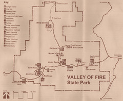
Valley of Fire State Park Map
Scanned from park brochure
435 miles away
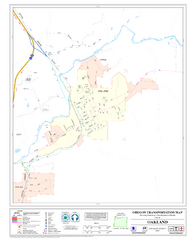
Oakland Oregon Road Map
436 miles away
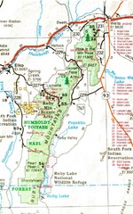
Ruby Mountains Area Map
Included are the communities of Elko, Wells, Deeth, Jiggs, Lee, Lamoille and Spring Creek. Some...
438 miles away
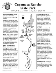
Cuyamaca Rancho State Park Campground Map
Map of park with detail of trails and recreation zones
438 miles away
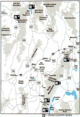
Cross-country Skiing, Elko County, Nevada Map
Map of cross-country skiing opportunities in Elko County, Nevada. Shows skiing locations, roads...
438 miles away
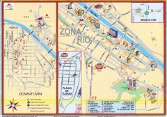
Tijuana Tourist Map
Shows major streets in downtown and Zona Rio of Tijuana, Mexico.
439 miles away
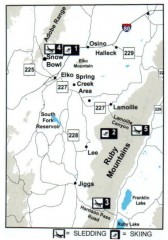
Skiing and Sledding in Elko County, Nevada Map
Map of skiing and sledding opportunities in Elko County, Nevada, showing skiing and sledding...
439 miles away
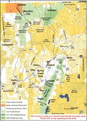
Land Use Map of Elko County, Nevada
Land use map of Elko County, Nevada. Shows lands classified as public or private, and owners of...
440 miles away
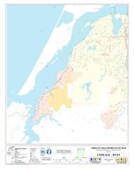
West Coos Bay Oregon Road Map
441 miles away
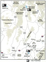
Icefishing Map, Elko County, Nevada
Map of ice fishing locations in Elko County, NV. Shows reservoirs, roads and towns.
442 miles away
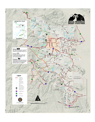
Anza-Borrego Desert State Park Map
Map of park with detail of trails and recreation zones
445 miles away


