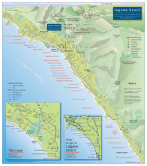
Laguna Beach Tourist Map
358 miles away

Bear Creek Greenway Map
Trail map of the Bear Creek Greenway connecting Central Point to Ashland, Oregon. Will eventually...
359 miles away
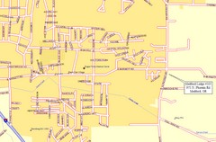
Medford, Oregon City Map
359 miles away
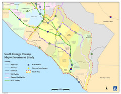
Orange County Map
359 miles away
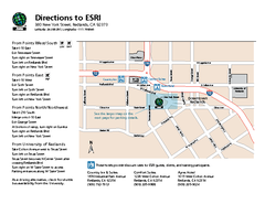
ESRI Campus Map
359 miles away
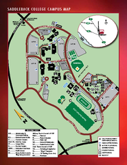
Saddleback College Map
362 miles away

Lakeview Oregon Road Map
363 miles away

General Thomas F. Riley Wilderness Park Map
364 miles away
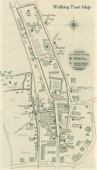
San Juan Capistrano walking tour Map
Architectural walking tour map of San Juan Capistrano, California.
365 miles away
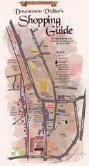
San Juan Capistrano Shopping Center Guide Map
365 miles away
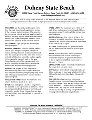
Doheny State Beach Campground Map
Map of beach and park with detail of trails and recreation zones
366 miles away
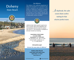
Doheny State Beach Map
Map of beach with detail of trails and recreation zones
366 miles away

Snow Summit Ski Trail Map
Official ski trail map of Snow Summit ski area from the 2004-2005 season.
366 miles away
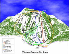
Warner Canyon Ski Trail Map
Trail map from Warner Canyon, which provides downhill skiing.
367 miles away
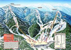
Bear Mountain Ski Trail Map
Official ski trail map of Bear Mountain ski area
368 miles away
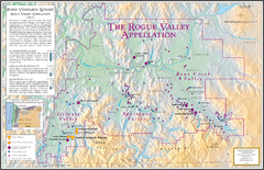
Oregon Rogue Valley wineries Map
Southern Oregon's Rogue Valley wineries
369 miles away
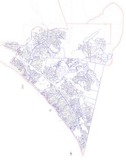
San Clemente Tract Map
Tract Map of San Clemente, California. Includes roads, buildings, highways and zip code zones.
370 miles away
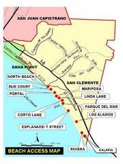
San Clemente Beach Map
370 miles away
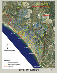
San Clemente Storm Drainage Map
Storm Drainage Map for San Clemente city. Includes color-coded zones of storm drain systems, major...
371 miles away
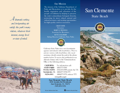
San Clemente State Beach Map
Map of beach and park with detail of trails and recreation zones
372 miles away

Las Vegas Ski & Snowboard Resort Ski Trail Map
Trail map from Las Vegas Ski & Snowboard Resort, which provides downhill skiing.
373 miles away
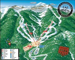
Las Vegas Ski & Snowboard Resort Ski Trail Map
Official ski trail map of Las Vegas Ski & Snowboard Resort (LVSSR) from the 2007-2008 season.
373 miles away
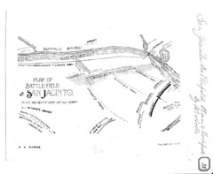
The Battle of San Jacinto, Texas Historical Map
380 miles away
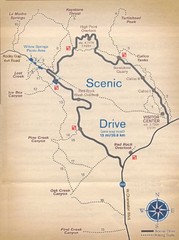
Red Rock Canyon Trail Map
Hiking trail map
386 miles away
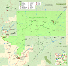
Mount San Jacinto State Park Map
Map of park with detail of trails and recreation zones
394 miles away
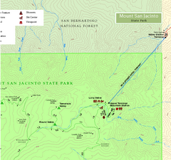
Mount San Jacinto State Park NE Map
Map of NE region of park with detail of trails and recreation zones
394 miles away
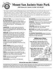
Mount San Jacinto State Park Campground Map
Map of campground region of park with detail of trails and recreation zones
394 miles away
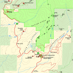
Mount San Jacinto State Park SW Map
Map of SW region of park with detail of trails and recreation zones
394 miles away
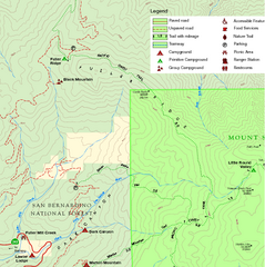
Mount San Jacinto State Park NW Map
Map of NW region of park with detail of trails and recreation zones
394 miles away
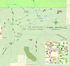
Mount San Jacinto State Park SE Map
Map of SE region of park with detail of trails and recreation zones
394 miles away
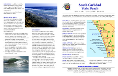
South Carlsbad State Beach Campground Map
Map of beach and park with detail of trails and recreation zones
398 miles away
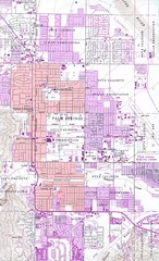
Palm Springs California City Map
398 miles away
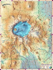
Crater Lake National Park map
Great map of Crater Lake National Park shows all trails, viewpoints, mountains, roads, campgrounds...
400 miles away
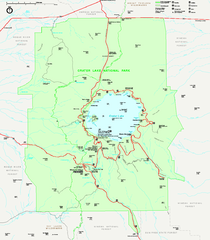
Crater Lake National Park official map
Official map of Crater Lake National Park. Shows hiking trails, elevations of peaks, roads, and...
400 miles away
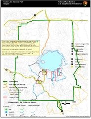
Crater Lake National Park Map
401 miles away
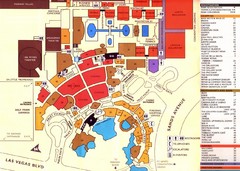
Las Vegas Tourist Map
401 miles away
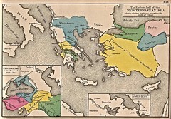
Historical Map of Mediterranean Sea B.C. 1884
"The Eastern half of the Mediterranean Sea during the two centuries preceeding the birth of...
401 miles away
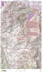
Palm Canyon Epic Trail Map
Upper Trailhead Map. Topo map marked with detail route and notes for ride.
401 miles away

Community College of Southern Nevada Map
Campus Area map of the Community College of Southern Nevada. The college is located on three main...
401 miles away
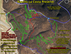
Rancho La Costa Preserve Trail Maps Map
Mountain Biking Trail Map for Rancho La Costa Preserve near San Diego.
402 miles away

