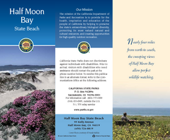
Half Moon Bay State Beach Map
Map of beach with detail of trails and recreation zones
23 miles away

Palo Alto Baylands Nature Preserve Map
Map of the Palo Alto Baylands Nature Preserve in Palo Alto, CA. Shows trails, including part of...
23 miles away
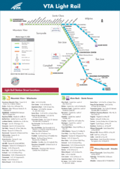
VTA Light Rail Map
23 miles away
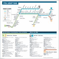
Santa Clara Light Rail Map
23 miles away
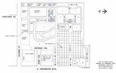
Mission City Memorial Park Map
Map of Mission City Memorial Park in Santa Clara, CA
24 miles away
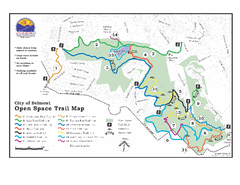
Water Dog Lake Park Trail Map
Trail map of Water Dog Lake Park. Open to mountain biking.
24 miles away
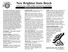
New Brighton State Beach Campground Map
Map of campground region of beach/park with detail of trails and recreation zones
25 miles away
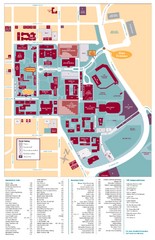
Santa Clara University Campus Map
Campus map of Santa Clara University
25 miles away

San Mateo County Mid-County Trail Map
Trail map of mid-county trails in San Mateo County, California.
25 miles away
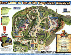
Six Flags Great America Map
25 miles away
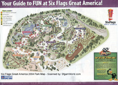
Six Flags Great America Map
25 miles away
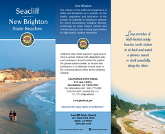
Seacliff & New Brighton State Beaches Map
Map of beaches and parks with detail of trails and recreation zones
25 miles away
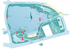
Almaden Lake Park Map
25 miles away
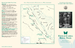
Fifield-Cahill Ridge Trail Map
Trail map and brochure of the Fifield-Cahill Ridge Trail in the San Francisco Peninsula Watershed.
26 miles away
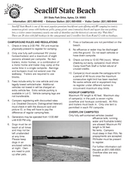
Seacliff State Beach Campground Map
Map of campground region of beach and park with detail of trails and recreation zones
26 miles away
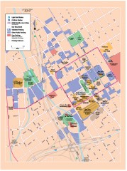
San Jose Downtown map
San Jose sowntown street map showing public transportation and parking.
26 miles away

Motorcycle Parking in Downtown San Jose...
Motorcycle parking map of downtown San Jose, California. Shows locations and inventory of parking...
26 miles away
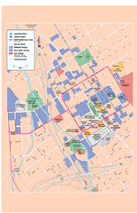
Downtown San Jose, California Map
Tourist map of downtown San Jose, California. Museums, theaters, parks, and other points of...
26 miles away
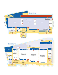
McEnery Convention Center, San Jose, California...
Floorplan map of McEnery Convention Center in San Jose, California.
26 miles away
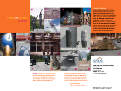
Public Art in Downtown San Jose, California Map
Shows locations of public art in downtown San Jose, California, as well as public transportation...
26 miles away
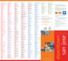
Walking Guide to Downtown San Jose, California Map
Tourist walking map of downtown San Jose, California. Lists and shows locations of dining, art...
26 miles away
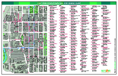
Dining in Downtown San Jose, California Map
Map of dining opportunities in downtown San Jose, California. Shows locations and telephone numbers...
26 miles away

San Jose, California City Map
27 miles away
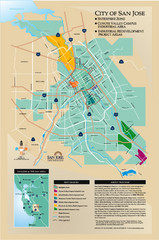
San Jose Enterprise Zone map
Map of Enterprise Zone in San Jose, CA
27 miles away
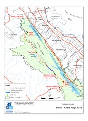
Fifield-Cahill Ridge Trail Map
Trail map of the Fifield-Cahill Ridge Trail in the San Francisco Peninsula Watershed.
27 miles away
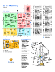
San Jose State University Map
Campus Map of San Jose State University in California. All buildings are shown.
27 miles away
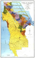
San Mateo County Map
Official county map of San Mateo, California. Scale 1"=5000'
28 miles away
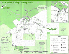
San Pedro Valley County Park Map
Trail map of San Pedro Valley County Park. 1,100 acre park with miles of trails and waterfall...
30 miles away
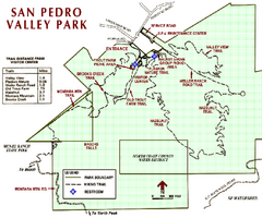
San Pedro Valley Park Map
Park map of San Pedro Valley County Park in San Mateo County, California.
30 miles away
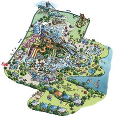
Raging Waters San Jose Map
Simple map of this fun water park for the whole family!
30 miles away
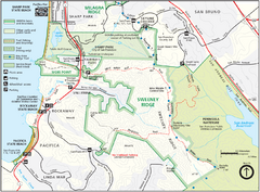
Sweeney Ridge Map
Trail map of Sweeney Ridge, part of the Golden Gate National Recreational Area.
32 miles away
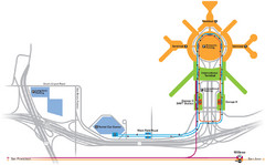
San Francisco International Airport Map
32 miles away
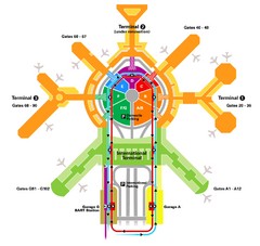
San Francisco Initernational Airport SFO Terminal...
AirTrain, airline, and gate locations map of SFO.
32 miles away
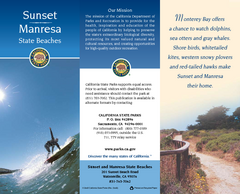
Sunset & Manresa State Beaches Map
Map of beaches and parks with detail of trails and recreation zones
32 miles away
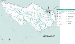
Motorcycle County Park Map
Map of Motorcycle County Park in Santa Clara County near San Jose, California. Shows all park...
33 miles away
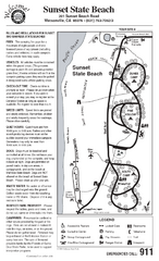
Sunset State Beach Campground Map
Map of park with detail of trails and recreation zones
33 miles away
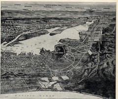
1936 San Francisco Bay Area Map Part 2
Guide to the San Francisco Bay Area, hand drawn over photograph
34 miles away
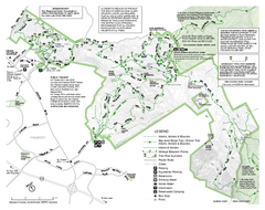
Mission Peak Preserve Map
Park map of Mission Peak Regional Preserve in Fremont, California. Topo map shows trails and trail...
34 miles away
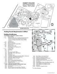
Chabot College Campus Map
Chabot College Campus Map. All buildings shown.
35 miles away
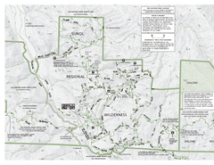
Sunol Regional Wilderness Trail Map - West
Trail map of western portion of Sunol Regional Wilderness in Sunol, California.
36 miles away

